Benjamin in Knox County, Texas — The American South (West South Central)
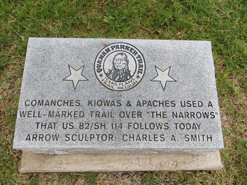
Quanah Parker Trail
Texas Plains Trail Region
well-marked trail over “The Narrows”
that US 82/SH 114 follows today
Arrow Sculptor: Charles A. Smith
Topics. This historical marker is listed in this topic list: Native Americans. A significant historical date for this entry is February 23, 1911.
Location. 33° 35.053′ N, 99° 47.462′ W. Marker is in Benjamin, Texas, in Knox County. Marker is at the intersection of East Hayes Street (U.S. 82) and North Bedford Street, on the right when traveling west on East Hayes Street. Touch for map. Marker is in this post office area: Benjamin TX 79505, United States of America. Touch for directions.
Other nearby markers. At least 8 other markers are within 12 miles of this marker, measured as the crow flies. Knox County (about 600 feet away, measured in a direct line); First Settlement in Knox County / L – Ranch (about 600 feet away); Original Old Rock Courthouse Cornerstone (about 800 feet away); Pleasant C. Sams (approx. 4.3 miles away); The Narrows (approx. 4.3 miles away); Brazos River Bridge (approx. 5.9 miles away); Sunset Consolidated Rural School District (approx. 10.4 miles away); First Christian Church (approx. 11.6 miles away). Touch for a list and map of all markers in Benjamin.
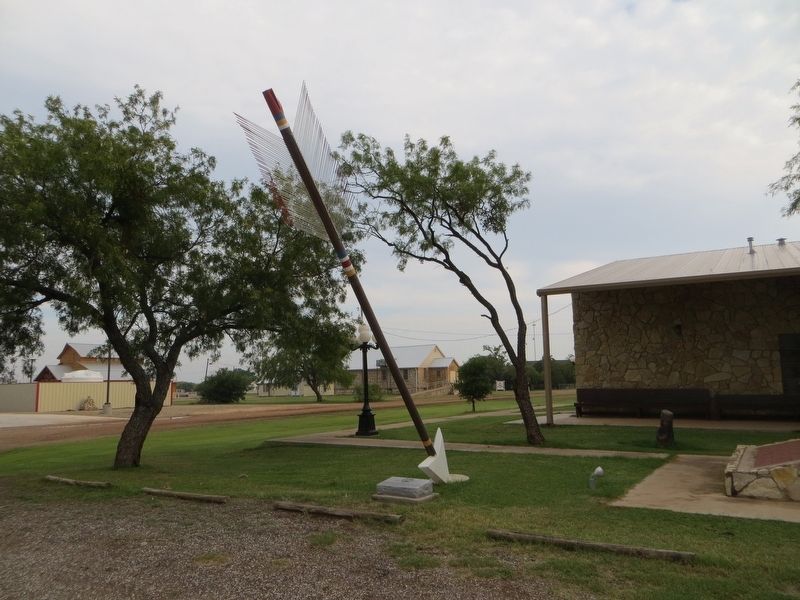
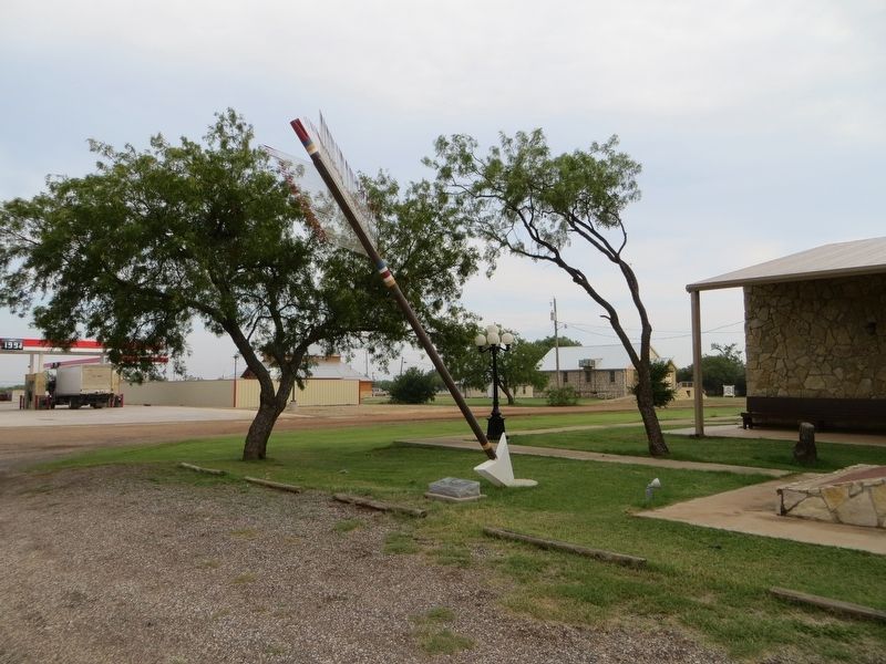
Also see . . . Quanah Parker Trail. A 22-foot-tall steel arrow by artist Charles A. Smith marks sites where the Comanches, and their last chief, Quanah Parker, hunted, traded, lived, traveled, and fought. (Submitted on July 5, 2017, by Bill Kirchner of Tucson, Arizona.)
Credits. This page was last revised on July 5, 2017. It was originally submitted on July 5, 2017, by Bill Kirchner of Tucson, Arizona. This page has been viewed 329 times since then and 24 times this year. Photos: 1, 2, 3. submitted on July 5, 2017, by Bill Kirchner of Tucson, Arizona.


