Crosbyton in Crosby County, Texas — The American South (West South Central)
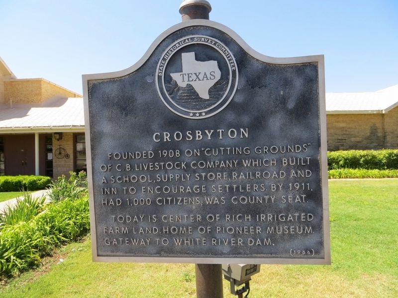
Crosbyton
Photographed by Bill Kirchner, June 9, 2017
1. Crosbyton Marker
Today is center of rich irrigated farm land. Home of Pioneer Museum. Gateway to White River Dam.
Erected 1966 by State Historical Survey Committee. (Marker Number 1116.)
Topics. This historical marker is listed in this topic list: Settlements & Settlers. A significant historical year for this entry is 1908.
Location. 33° 39.583′ N, 101° 14.328′ W. Marker is in Crosbyton, Texas, in Crosby County. It is on West Main Street, on the right when traveling east. Touch for map. Marker is at or near this postal address: 101 West Main Street, Crosbyton TX 79322, United States of America. Touch for directions.

Regionally, this marker is on Texas’ South Plains. It is also on the American Great Plains and specifically on the Southern Plains. Globally, it is in North America, a Gulf of Mexico state, the Western Hemisphere, the Western World, and the Anglosphere. Historically, it finds itself in what was once New Spain,
this page online
Other nearby markers. At least 8 other markers are within walking distance of this marker: The Rock House (a few steps from this marker); Crosby County (within shouting distance of this marker); Henry Clay Smith (within shouting distance of this marker); a different marker also named Crosby County (within shouting distance of this marker); Citizens National Bank (about 300 feet away, measured in a direct line); Lamar Building (about 300 feet away); Work Building (about 300 feet away); Crosby County Courthouse (about 500 feet away). Touch for a list and map of all markers in Crosbyton.
Photographed by Bill Kirchner, June 9, 2017
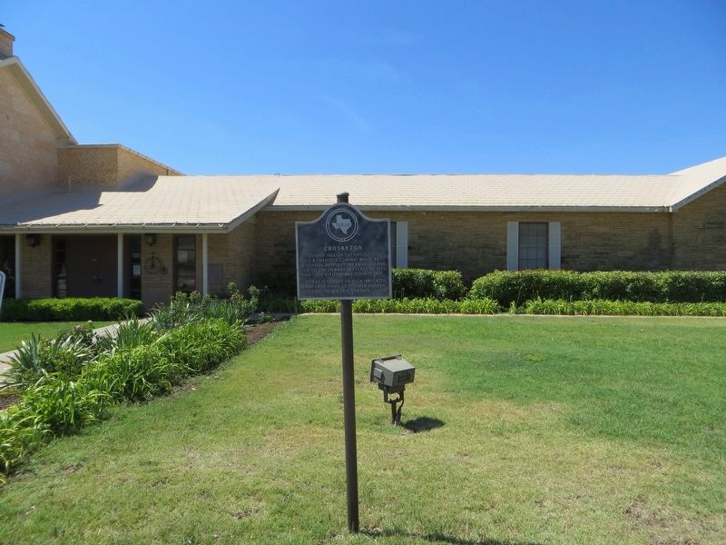
2. Crosbyton Marker
Photographed by Bill Kirchner, June 9, 2017
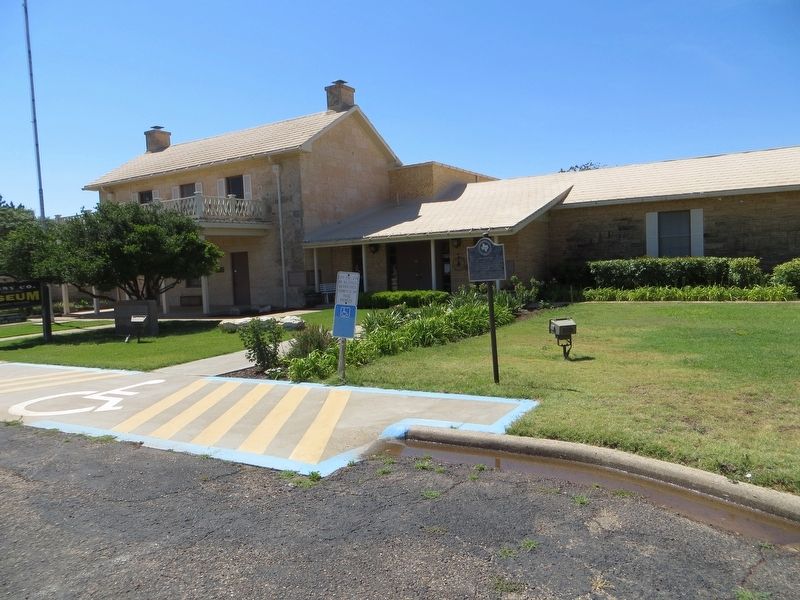
3. Crosbyton Marker
Credits. This page was last revised on July 8, 2017. It was originally submitted on July 8, 2017, by Bill Kirchner of Tucson, Arizona. This page has been viewed 483 times since then and 37 times this year. Photos: 1, 2, 3. submitted on July 8, 2017, by Bill Kirchner of Tucson, Arizona.
