Natchez in Adams County, Mississippi — The American South (East South Central)
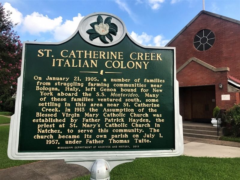
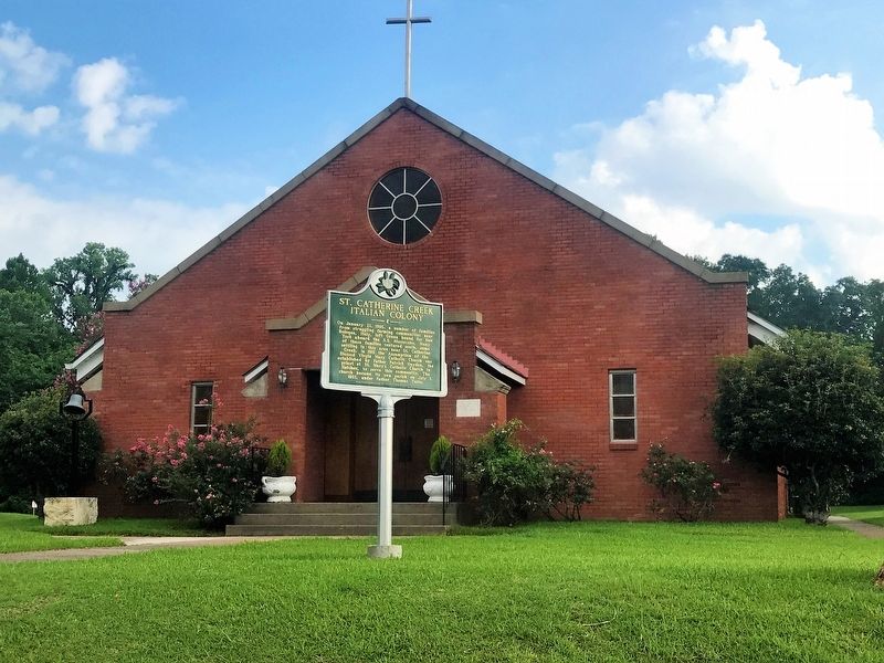
St. Catherine Creek Italian Colony
On January 21, 1905, a number of families from struggling farming communities near Bologna, Italy, left Genoa bound for New York aboard the S.S. Montevideo. Many of these families ventured south, some settling in this area near St. Catherine Creek. In 1913 the Assumption of the Blessed Virgin Mary Catholic Church was established by Father Patrick Hayden, the priest at St. Mary's Catholic Church in Natchez, to serve the community. The parish became its own parish on July 1, 1957, under Father Thomas Tuite.
Erected 2013 by Mississippi Department of Archives and History.
Topics and series. This historical marker is listed in these topic lists: Churches & Religion • Settlements & Settlers. In addition, it is included in the Mississippi State Historical Marker Program series list. A significant historical date for this entry is January 21, 1905.
Location. 31° 33.863′ N, 91° 21.248′ W. Marker is in Natchez, Mississippi, in Adams County. Marker is at the intersection of Morgantown Road and T Waring Bennett Jr. Road, on the left when traveling north on Morgantown Road. Touch for map. Marker is at or near this postal address: 10 Morgantown Road, Natchez MS 39120, United States of America. Touch for directions.
Other nearby markers. At least 8 other markers are within 2 miles of this marker, measured as the crow flies. "Soldiers Retreat" (approx. 1.2 miles away); DAR And The Natchez Trace (approx. 1.3 miles away); Origin of the Natchez Trace (approx. 1.3 miles away); Forks of the Road Historical Site (approx. 1.9 miles away); Ex-"Slaves" as U.S. Civil War Soldiers in the Mississippi Valley Campaign (approx. 1.9 miles away); Forks of the Road (approx. 1.9 miles away); a different marker also named Forks of the Road (approx. 1.9 miles away); History of St. Catherine Street (approx. 1.9 miles away). Touch for a list and map of all markers in Natchez.
Credits. This page was last revised on July 9, 2017. It was originally submitted on July 9, 2017, by Cajun Scrambler of Assumption, Louisiana. This page has been viewed 373 times since then and 26 times this year. Photos: 1, 2. submitted on July 9, 2017.

