Jayton in Kent County, Texas — The American South (West South Central)
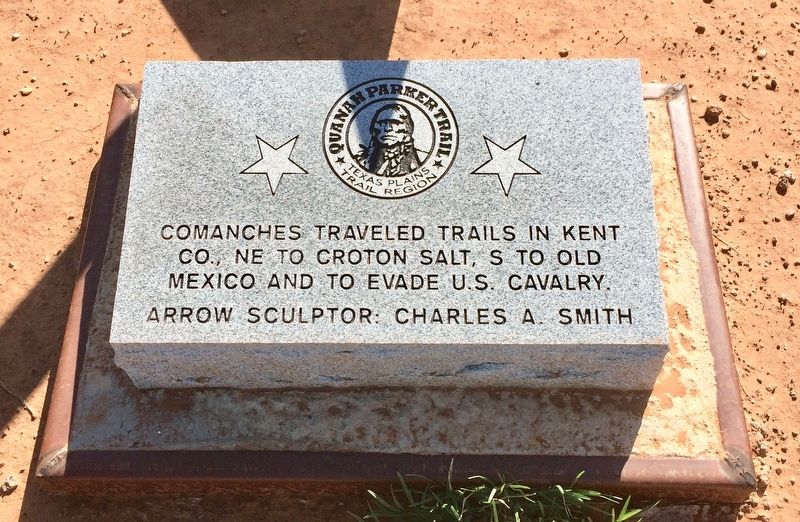
Quanah Parker Trail
Texas Plains Trail Region
Co., NE to Croton Salt, S to Old
Mexico and to evade U.S. Cavalry.
Arrow sculptor: Charles A. Smith
Erected 2013.
Topics. This historical marker is listed in this topic list: Native Americans.
Location. 33° 15.492′ N, 100° 34.505′ W. Marker is in Jayton, Texas, in Kent County. Marker is on North Main Street (Texas Route 70) south of Farm to Market Road 1228, on the right when traveling north. Touch for map. Marker is at or near this postal address: 1443 North Main Street, Jayton TX 79528, United States of America. Touch for directions.
Other nearby markers. At least 4 other markers are within 3 miles of this marker, measured as the crow flies. Double Mountain Salt Works (approx. 0.7 miles away); Kent County (approx. 0.7 miles away); First National Bank Building (approx. ¾ mile away); Putoff Canyon (approx. 2.4 miles away).
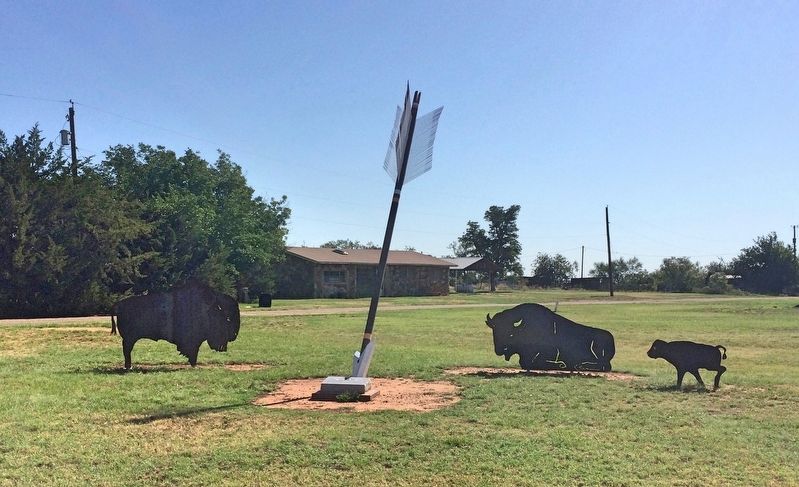
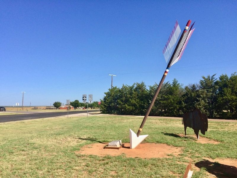
Regarding Quanah Parker Trail. The giant arrow sculptures stand 22-feet in height, created courtesy of sculptor and cotton farmer Charles A. Smith of New Home, Texas. The arrows have stylized markings in red, yellow and blue, signifying the colors of the Comanche Nations war shield. The steel wires forming the upper feathers of the sculpture are known to produce a whistle in the wind.
Also see . . .
1. Wikipedia article on Quanah Parker. (Submitted on July 9, 2017, by Mark Hilton of Montgomery, Alabama.)
2. The Quanah Parker Trail website. (Submitted on July 9, 2017, by Mark Hilton of Montgomery, Alabama.)
Credits. This page was last revised on July 9, 2017. It was originally submitted on July 9, 2017, by Mark Hilton of Montgomery, Alabama. This page has been viewed 360 times since then and 20 times this year. Photos: 1, 2, 3, 4. submitted on July 9, 2017, by Mark Hilton of Montgomery, Alabama.


