Near Carthage in Panola County, Texas — The American South (West South Central)
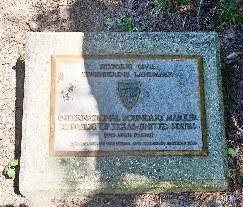
International Boundary Marker
Republic of Texas-United States
— Historic Civil Engineering Landmark —
Inscription.
Engineering Landmark
International Boundary Marker
Republic of Texas-United States
(Set April 23, 1841)
Designated by the Texas and Louisiana Sections
Erected 1980 by American Society of Civil Engineers.
Topics and series. This historical marker is listed in this topic list: Notable Places. In addition, it is included in the ASCE Civil Engineering Landmarks series list. A significant day of the year for for this entry is April 23.
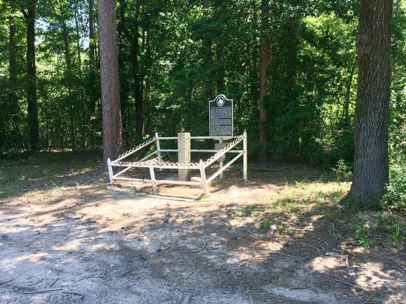
Location. 32° 2.039′ N, 94° 2.568′ W. Marker is near Carthage, Texas, in Panola County. Marker can be reached from Farm to Market Road 31, 0.4 miles south of County Road 4557, on the right when traveling north. Located in a very rural area of the county is some 10 miles from Deadwood and 21 miles from Carthage. Touch for map. Marker is in this post office area: Carthage TX 75633, United States of America. Touch for directions.
Other nearby markers. At least 6 other markers are within 13 miles of this marker, measured as the crow flies. A different marker also named International Boundary Marker (here, next to this marker); Adams Cemetery (approx. 3˝ miles away); Brookland Cemetery (approx. 4.7 miles away); B.F. Morris and the Town of Joaquin (approx. 4.7 miles away); Deadwood Cemetery (approx. 9.7 miles away); Confederate Cemetery (approx. 13.1 miles away in Louisiana).
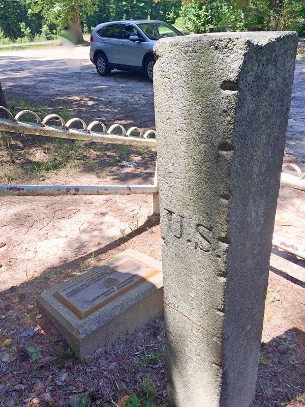
More about this marker. The nearby granite stone post was carved and dated in 1840, but because the journey through the swamps and thick piney woods was so arduous, the marker wasn't finally set into place until 1841.
Credits. This page was last revised on July 9, 2017. It was originally submitted on July 9, 2017, by Mark Hilton of Montgomery, Alabama. This page has been viewed 538 times since then and 49 times this year. Photos: 1, 2, 3. submitted on July 9, 2017, by Mark Hilton of Montgomery, Alabama.


