Marker Logo
THE HISTORICAL
MARKER DATABASE
“Bite-Size Bits of Local, National, and Global History”
Kerby in Josephine County, Oregon — The American West (Northwest)
 

Kerby(ville) 1850's to Present
 
 
Kerby(ville) 1850's to Present Marker image. Click for full size.
Photographed by Jim Cirner
1. Kerby(ville) 1850's to Present Marker
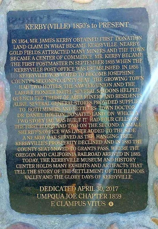
Inscription. In 1854, Mr. James Kerby obtained first donation land claim in what became Kerbyville. Nearby gold fields attracted many miners and the town became a center of commerce. Mr. Kerby became the first postmaster in September 1855 when the Kerbyville Post Office was established. In 1856 Kerbyville was voted to become Josephine County's second county seat. The growing town had two hotels, The Sawyer/Union and the larger Pioneer Hotel. Several saloons helped quench the thirst of area miners and residents alike. Several general stores provided supplies to both miners and settlers. Town Doctor Dr. Daniel Holton, donated land on which a two story jail was built. It had four cells on the first floor and two on the second. A small sheriff's office was added later to the side. A nearby oak served as the hanging tree. Kerbyville's prosperity declined and in 1883 the county seat was moved to Grants Pass, where the Oregon and California Railroad arrived in 1885. Today, the Kerbyville Museum and History Center holds many exhibits and artifacts that tell the story of the settlement of the Illinois Valley and the glory days of Kerbyville.
 
Erected 2017
Paid Advertisement
Click or scan to see
this page online
by Umpqua Joe Chapter 1859 E Clampus Vitus.
 
Topics and series. This historical marker is listed in this topic list: Settlements & Settlers. In addition, it is included in the E Clampus Vitus series list. A significant historical date for this entry is April 30, 2017.
 
Location. 42° 11.84′ N, 123° 39.036′ W. Marker is in Kerby, Oregon, in Josephine County. It is on Redwood Highway (U.S. 199), on the right when traveling north. Touch for map. Marker is at or near this postal address: 24195 Redwood Highway, Kerby OR 97531, United States of America. Touch for directions.

Regionally, this marker is in Southern Oregon. It is also on the American Pacific Coast, in the Pacific Northwest, and in the Lewis & Clark Corridor. Globally, it is in North America, on the Ring of Fire, in the Pacific Rim, in the Western Hemisphere, in the Western World, and in the Anglosphere. Historically, it finds itself in what was once New Spain.

Other nearby markers. At least 5 other markers are within 16 miles of this marker, measured as the crow flies: Fort Briggs (approx. 4.9 miles away); Triple Nickles (approx. 6.7 miles away); Smokejumper Tree (approx. 6.7
Kerby(ville) 1850's to Present Marker image. Click for full size.
Photographed by Jim Cirner
2. Kerby(ville) 1850's to Present Marker
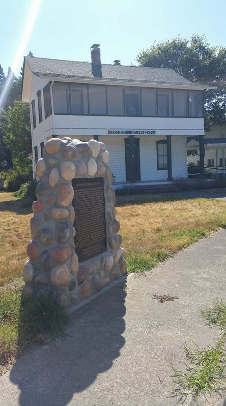
The 1880 WM & Nannie Naucke House
miles away); Fort Hay (approx. 8.2 miles away); Wilderville Post Office (approx. 15.9 miles away).
 
 
Credits. This page was last revised on July 11, 2017. It was originally submitted on July 10, 2017, by Frank Gunshow Sanchez of Hollister, California. This page has been viewed 758 times since then and 43 times this year. Photos:   1, 2. submitted on July 10, 2017, by Frank Gunshow Sanchez of Hollister, California. • Syd Whittle was the editor who published this page.

m=105285

CeraNet Cloud Computing sponsors the Historical Marker Database.
This website earns income from purchases you make after using our links to Amazon.com. We appreciate your support.
Paid Advertisement
Sep. 9, 2026