Near Mansfield in De Soto Parish, Louisiana — The American South (West South Central)
Las Ormigas Spanish Land Grant
Historic Site
| — | 1795 | — |
Photographed by Mark Hilton, June 28, 2017
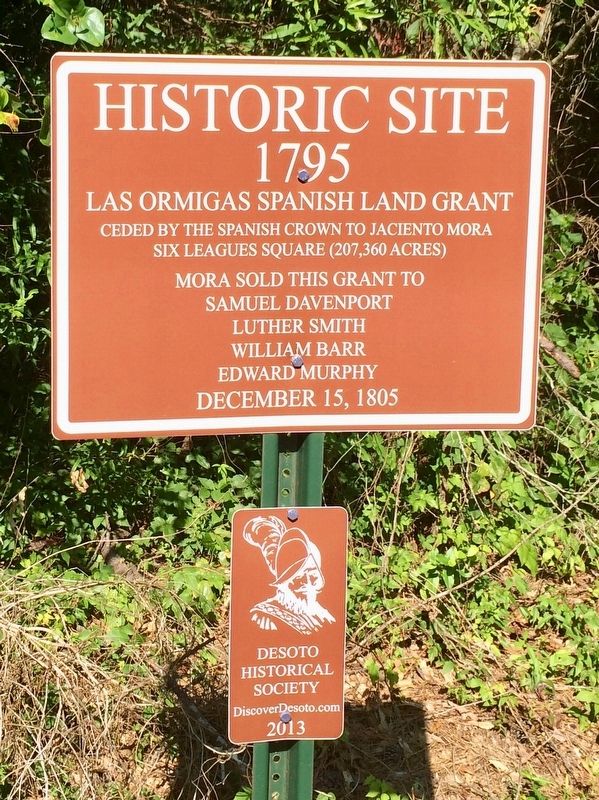
1. Las Ormigas Spanish Land Grant Marker
1795
Las Ormigas Spanish Land Grant
Ceded by the Spanish Crown to Jaciento Mora
Six leagues square (207,360 acres)
Mora Sold this Grant to
Samuel Davenport
Luther Smith
William Barr
Edward Murphy
December 15, 1805
Erected 2013 by Desoto Historical Society.
Topics. This historical marker is listed in these topic lists: Notable Places • Settlements & Settlers. A significant historical date for this entry is December 15, 1805.
Location. 31° 57.057′ N, 93° 35.73′ W. Marker is near Mansfield, Louisiana, in De Soto Parish. It is at the intersection of Louisiana Route 175 and Taylor Road, on the right when traveling south on Louisiana Route 175. Located about 7.5 miles south of Mansfield. Touch for map. Marker is at or near this postal address: 18416 LA-175, Mansfield LA 71052, United States of America. Touch for directions.

Regionally, this marker is in North Louisiana. It is also in the American South, specifically in the Deep South, and in the Piney Woods. Globally, it is in North America, a Gulf of Mexico state, the Western Hemisphere, the Western World, and the Anglosphere. Historically,
this page online
Other nearby markers. At least 8 other markers are within 6 miles of this marker, measured as the crow flies: Double Churches (approx. 0.6 miles away); Federal Advance (approx. 1.9 miles away); Grove Hill Veterans Memorial (approx. 2.2 miles away); Pelican 1881 (approx. 4.8 miles away); Capt. Elijah Parsons Petty (approx. 5.8 miles away); In Memory of Lieut. Colonel Franklin H. Clack. C.S.A. (approx. 5.8 miles away); Louisiana Monument (approx. 5.8 miles away); Texas Monument (approx. 5.8 miles away). Touch for a list and map of all markers in Mansfield.
Photographed by Mark Hilton, June 28, 2017
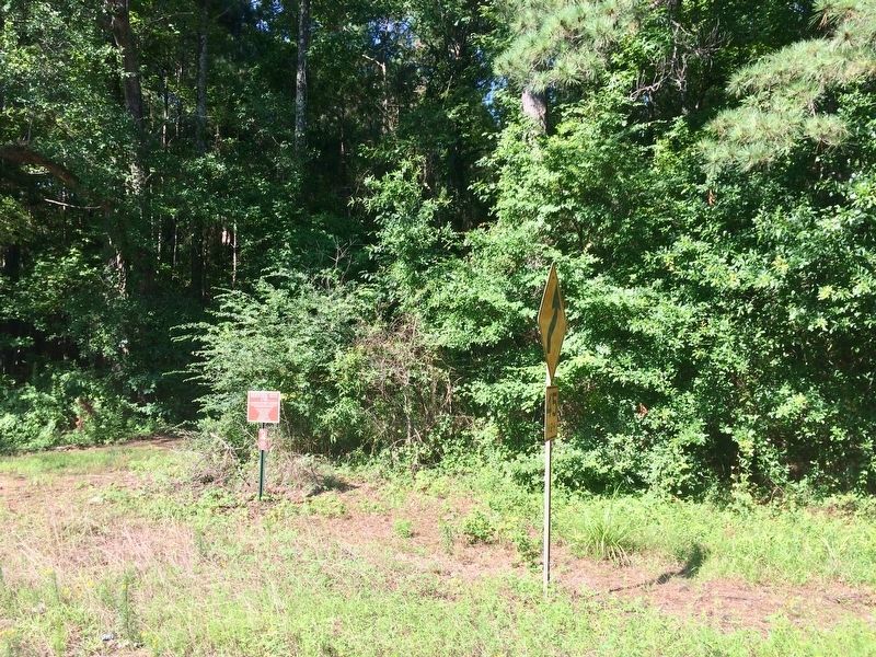
2. Las Ormigas Spanish Land Grant Marker near Taylor Road (dirt road).
Library of Congress, Geography and Map Division.
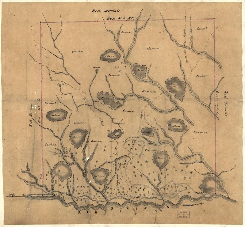
3. Map of Las Ormigas Grant, Sabine and DeSoto Parishes, Louisiana
Relief shown pictorially. Shows the present-day Sabine and DeSoto Parishes in eastern region of the Sabine River, Louisiana. Names of places and features in Spanish. Pen-and-ink and watercolor. Title derived from The Luso-Hispanic world in maps, 1999. Mounted on cloth backing. This Spanish map of the site of Las Ormigas land grand later known as the Arroyo Hondo grand includes streams, vegetation ... At time of map, this was an area of dispute between the United States and Spain. Copy annotated in pencil on verso: "Los Ormigas grant" corrected to "Arroyo Hondo grant" in letter of Mr. Witbeck's. July 2, 1927 and May 31, 1927.
Photographed by Mark Hilton, June 28, 2017
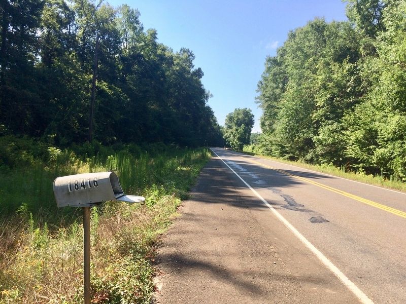
4. Mail box reference point directly across Highway 175.
Credits. This page was last revised on July 11, 2017. It was originally submitted on July 11, 2017, by Mark Hilton of Montgomery, Alabama. This page has been viewed 1,553 times since then and 107 times this year. Photos: 1, 2, 3, 4. submitted on July 11, 2017, by Mark Hilton of Montgomery, Alabama.
