Marker Logo HMdb.org THE HISTORICAL
MARKER DATABASE
“Bite-Size Bits of Local, National, and Global History”
Near Mansfield in De Soto Parish, Louisiana — The American South (West South Central)
 

Double Churches

1850

— Historic Site —


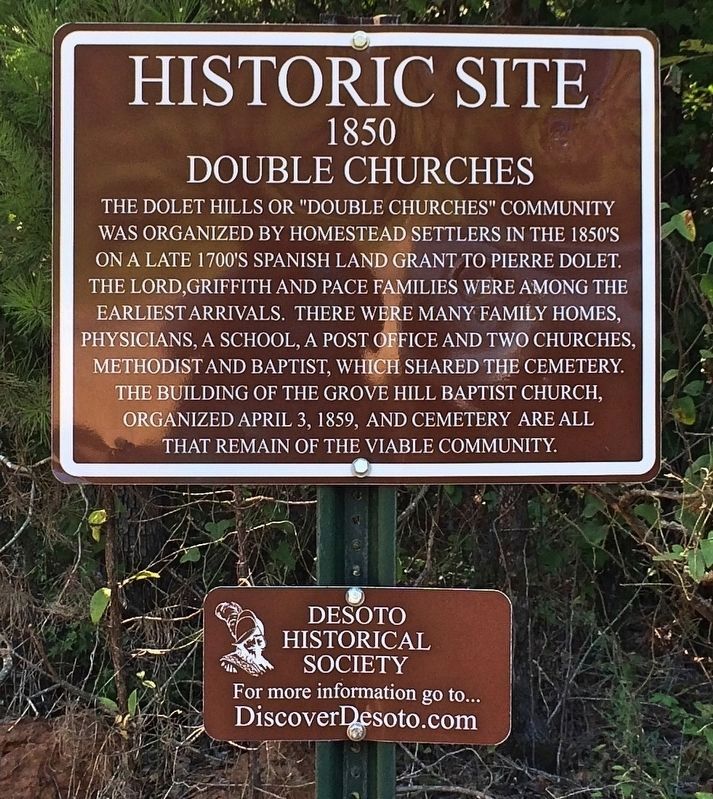
Double Churches Marker image. Click for full size.
Photographed By Mark Hilton, June 28, 2017
1. Double Churches Marker
Inscription. The Dolet Hills or "Double Churches" community was organized by homestead settlers in the 1850's on a late 1700's Spanish Land Grant to Pierre Dolet. The Lord, Griffith and Pace families were among the earliest arrivals. There were many family homes, physicians, a school, a post office and two churches, Methodist and Baptist, which shared the cemetery. The building of the Grove Hill Baptist Church, organized April 3, 1859, and cemetery are all that remain of the viable community.
 
Erected by Desoto Historical Society.
 
Topics. This historical marker is listed in these topic lists: Churches & ReligionSettlements & Settlers. A significant historical date for this entry is April 3, 1859.
 
Location. 31° 56.619′ N, 93° 35.494′ W. Marker is near Mansfield, Louisiana, in De Soto Parish. Marker is at the intersection of Grove Hill Road and State Route 175, on the right when traveling east on Grove Hill Road. Located about 8 miles south of Mansfield. Touch for map. Marker is in this post office area: Mansfield LA 71052, United States of America. Touch for directions.
 
Other nearby markers. At least 8 other markers are within 7 miles of this marker, measured as the crow flies. Las Ormigas Spanish Land Grant (approx. 0.6 miles away); Federal Advance (approx. 1.4 miles away); Grove Hill Veterans Memorial (approx. 2.2 miles away); Pelican 1881
Paid Advertisement
Click on the ad for more information.
Please report objectionable advertising to the Editor.
Click or scan to see
this page online
(approx. 4.3 miles away); a different marker also named Federal Advance (approx. 6.1 miles away); Capt. Elijah Parsons Petty (approx. 6.3 miles away); In Memory of Lieut. Colonel Franklin H. Clack. C.S.A. (approx. 6.3 miles away); Louisiana Monument (approx. 6.3 miles away). Touch for a list and map of all markers in Mansfield.
 
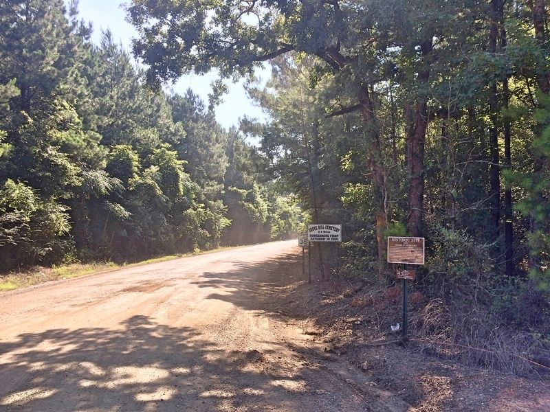
View of marker looking east on Grove Hill Road. image. Click for full size.
Photographed By Mark Hilton, June 28, 2017
2. View of marker looking east on Grove Hill Road.
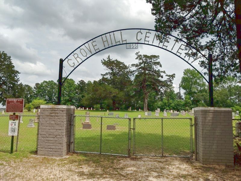
Double Churches Cemetery Gate Entrance image. Click for full size.
Photographed By Clay Lord, April 30, 2019
3. Double Churches Cemetery Gate Entrance
Double Churches Marker image. Click for full size.
Photographed By Jason Armstrong, March 14, 2021
4. Double Churches Marker
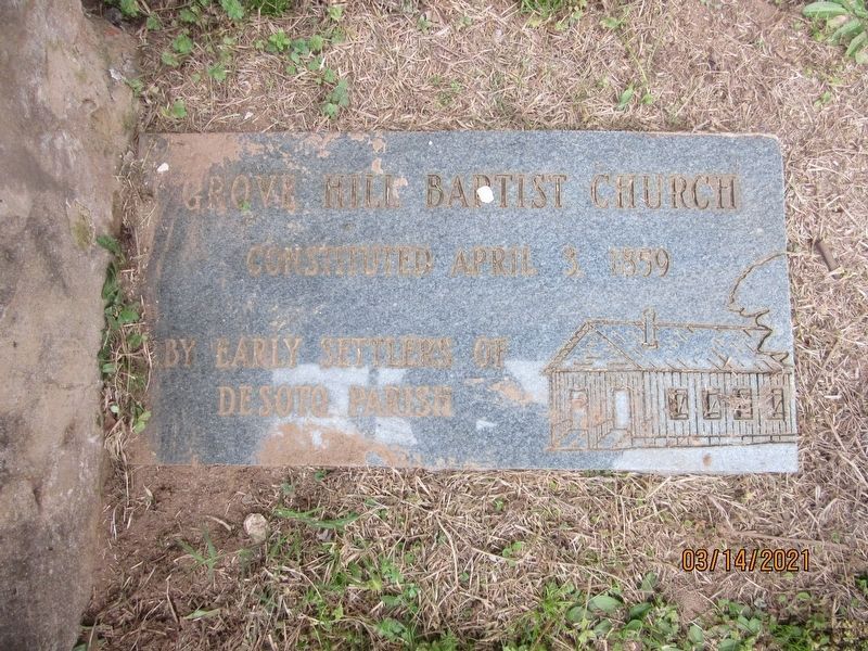
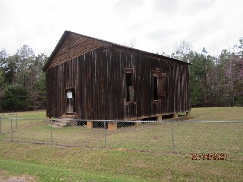
Grove Hill Baptist Church image. Click for full size.
Photographed By Jason Armstrong, March 14, 2021
5. Grove Hill Baptist Church
 
 
Credits. This page was last revised on July 25, 2021. It was originally submitted on July 11, 2017, by Mark Hilton of Montgomery, Alabama. This page has been viewed 1,052 times since then and 53 times this year. Photos:   1, 2. submitted on July 11, 2017, by Mark Hilton of Montgomery, Alabama.   3. submitted on February 2, 2021, by Clay Lord of West Monroe, Louisiana.   4, 5. submitted on July 24, 2021, by Jason Armstrong of Talihina, Oklahoma.
Share this page.  
Share on Tumblr
m=105342

CeraNet Cloud Computing sponsors the Historical Marker Database.
This website earns income from purchases you make after using our links to Amazon.com. We appreciate your support.
Paid Advertisement
Apr. 24, 2024