Near Park Valley in Box Elder County, Utah — The American Mountains (Southwest)
Romola

Photographed By Barry Swackhamer, June 20, 2017
1. Romola Marker
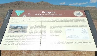
Caption: (right center) Plan for a box culvert similar to culverts near Romola. The railbed was made flat by laying a bed of crushed stone on the wooden slats. In the mountains and along the coast, local timber was used for construction. In dry, desert areas, wood had to be transported in along with the other railroad supplies.
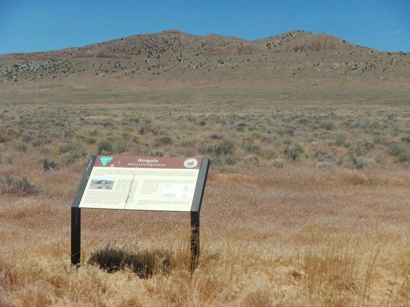
The railroad siding at Romola was built in 1899 to meet increased rail traffic and the needs of local ranchers. The railroad was used by ranchers and cowboys as a way to move the cattle they raised to market . With the building of the Transcontinental Railroad, it became possible to transport these cattle to eastern market, which had developed a taste for beef at aa time when the effects of the Civil War had depleted eastern herds.
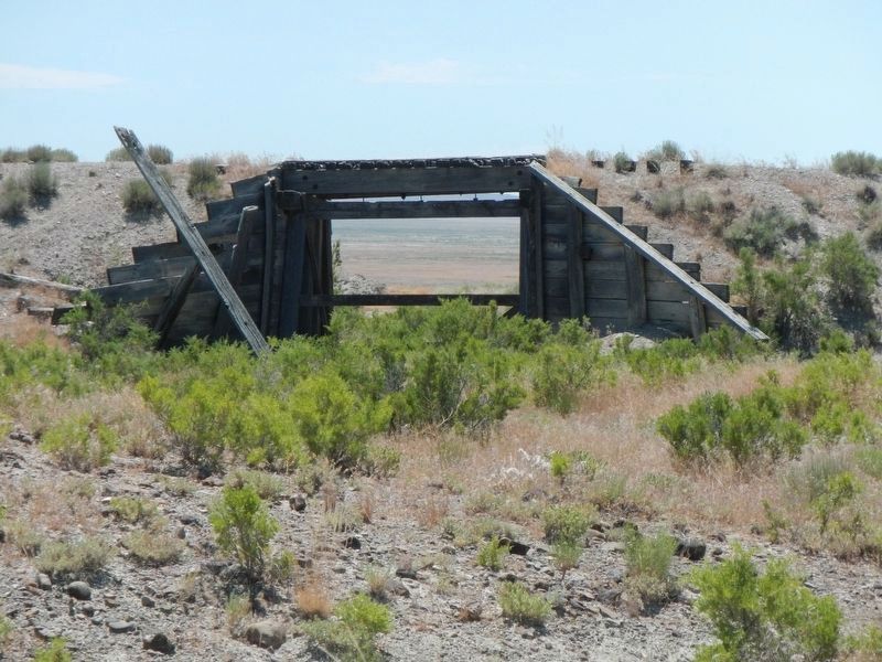
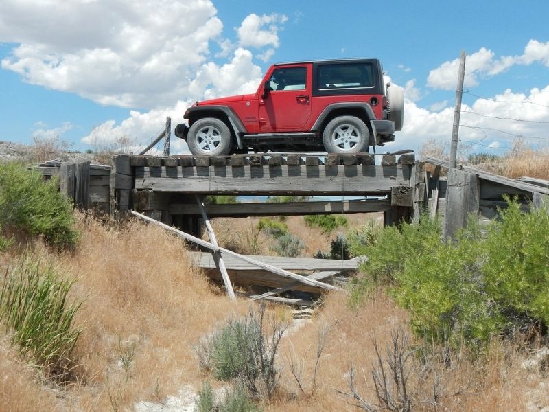
The bridge just west of Romola Siding (pictured) is a good, surviving example of a single stringer trestle with large wooden wings. To the east of Romola is a wooden trestle bridge. When first built, in the rush to get to Promontory and complete the railroad, many of these bridges were laid on simple timber sills. The subsequent work of "piling" was carried out by many Chinese section gangs. Piling entailed digging deep holes for wooden foundations poles. Without these, the bridges were prone to wash out when heavy rains fell. Piles were also supported by "riprap" (rocks, boulders, used boiler bricks, and other trash) to reduce under cutting.
Southern Pacific track plats indicate that a loading platform and a train car body were located at Romola, but there was no settlement.
Erected by Department of the Interior, Bureau of Land Management.
Topics and series. This historical marker is listed in these topic lists: Bridges & Viaducts • Railroads & Streetcars. In addition, it is included in the Transcontinental Railroad series list. A significant historical year for this entry is 1899.
Location. 41° 35.424′ N, 113° 16.602′ W. Marker is near Park Valley, Utah, in Box Elder County. Marker is on Transcontinental Railroad Back Country Byway, on the left when traveling west. Touch for map. Marker is in this post office area: Park Valley UT 84329, United States of America. Touch for directions.
Other nearby markers. At least 5 other markers are within 14 miles of this marker, measured as the crow flies. Ombey (approx. 4.2 miles away); Matlin (approx. 4.9 miles away); Peplin (approx. 7.8 miles away); Red Dome Siding (approx. 9.6 miles away); Kelton (approx. 13.7 miles away).
More about this marker. The Transcontinental Railroad Back Country Byway is a 90 mile dirt/gravel track on top of or beside the old Central Pacific Rail Road grade between Old Lucin and Promontory Summit. Other than markers designating old station and sidings there are few, if any, road signs identifying any of the side roads. Any other road names or numbers use on this marker page have been taken Google Maps which identifies the Byway variously as Golden Spike Loop Road, Old Railroad Grade Road, Salt Wells Road, etc.
Neither are there any mileage posts, though one could do the arithmetic using the "Mile ... from San Francisco" on the markers to determine distances. Nor is there any mail delivery, so no street addresses either.
Credits. This page was last revised on July 12, 2017. It was originally submitted on July 11, 2017, by Barry Swackhamer of Brentwood, California. This page has been viewed 352 times since then and 11 times this year. Photos: 1, 2, 3, 4. submitted on July 11, 2017, by Barry Swackhamer of Brentwood, California.


