Stanford in Lincoln County, Kentucky — The American South (East South Central)
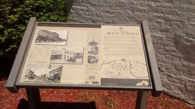
Kentucky's Oldest Main Street
Photographed by Tom Bosse, April 12, 2017
1. Kentucky's Oldest Main Street Marker
The city of Stanford was incorporated on April 4, 1861 but its history goes back to 1775. Stanford is the second oldest permanent settlement in Kentucky and the county seat of Lincoln County, one of the original three counties of Kentucky.
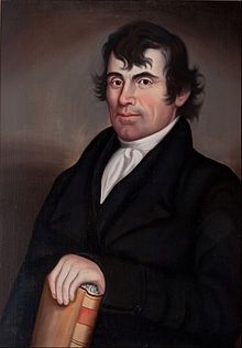
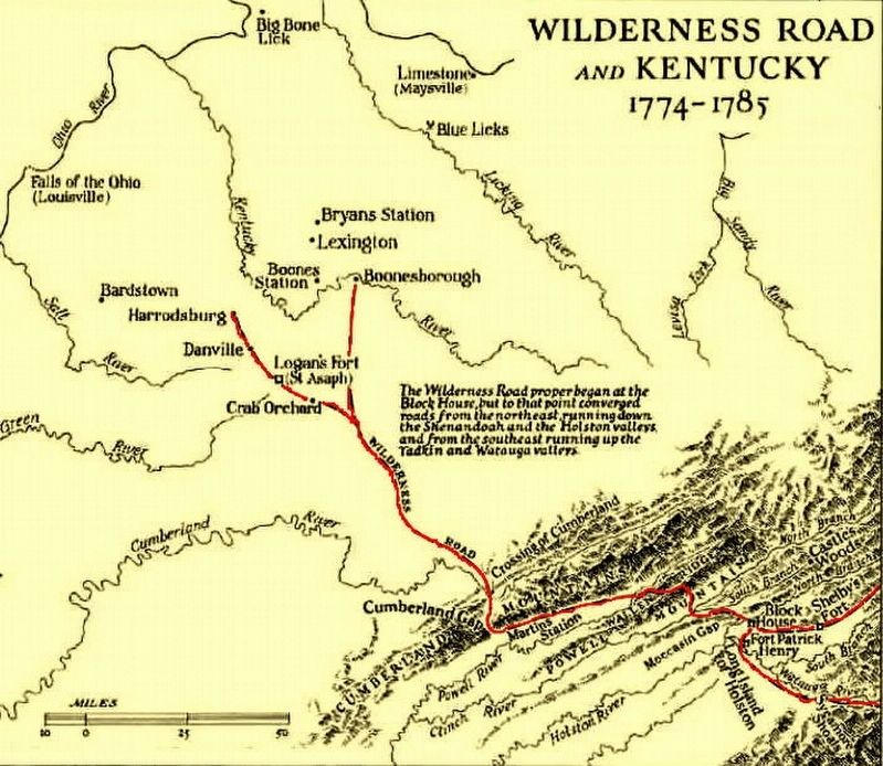
Benjamin Logan, a pioneer from Virginia, came to Kentucky with Daniel Boone. Logan built a fort in 1775 near St. Asaph Creek, which runs south of the city of Stanford. A model of the fort is located at the Depot.
In 1975, Logan's Trace, the route followed by Colonel Logan, became part of the famous Wilderness Road by an act of the Kentucky Legislature. Stanford's Main Street is part of the Wilderness Road and is the oldest Main Street in Kentucky.
The city of Stanford has made great strides in preserving its heritage. Many homes and buildings have been restored in the past few years. Several more areas are to be restored in the near future.
The central historic area was named on the National Register of Historic Places in 1993. In 2004, Stanford was designated a Preserve American Community by First Lady Laura Bush.
You can walk in the footsteps of the earliest pioneers.
this page online
Topics. This historical marker is listed in this topic list: Settlements & Settlers. A significant historical date for this entry is April 4, 1861.
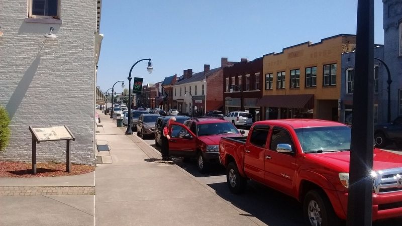
Location. 37° 31.754′ N, 84° 39.783′ W. Marker is in Stanford, Kentucky, in Lincoln County. It is at the intersection of Main Street and Mill Street, on the left when traveling east on Main Street. Touch for map. Marker is in this post office area: Stanford KY 40484, United States of America. Touch for directions.

Regionally, this marker is in The Knobs. It is also in the American South, specifically in the Upper South, in Appalachia, and specifically in Southern Appalachia. Globally, it is in North America, the Western Hemisphere, the Western World, and the Anglosphere. Historically, it finds itself in what was once the territory of the Mississippian Culture and also the Antebellum South.
Other nearby markers. At least 8 other markers are within walking distance of this marker: Wilderness Road / Logan’s Station
Photographed by Tom Bosse, April 12, 2017
2. Kentucky's Oldest Main Street Marker
Also see . . .
1. Benjamin Logan - Wikipedia. (Submitted on July 11, 2017, by Tom Bosse of Jefferson City, Tennessee.)
2. Wilderness Road - Wikipedia. (Submitted on July 11, 2017, by Tom Bosse of Jefferson City, Tennessee.)
Photographed by Tom Bosse
3. Benjamin Logan
Photographed by Tom Bosse
4. The Wilderness Road in Kentucky
Credits. This page was last revised on November 2, 2024. It was originally submitted on July 11, 2017, by Tom Bosse of Jefferson City, Tennessee. This page has been viewed 1,569 times since then and 103 times this year. Photos: 1, 2, 3, 4. submitted on July 11, 2017, by Tom Bosse of Jefferson City, Tennessee. • Bill Pfingsten was the editor who published this page.
