Near Old Pleasant Hill in De Soto Parish, Louisiana — The American South (West South Central)
Dog Trot House
Photographed by Mark Hilton, June 28, 2017
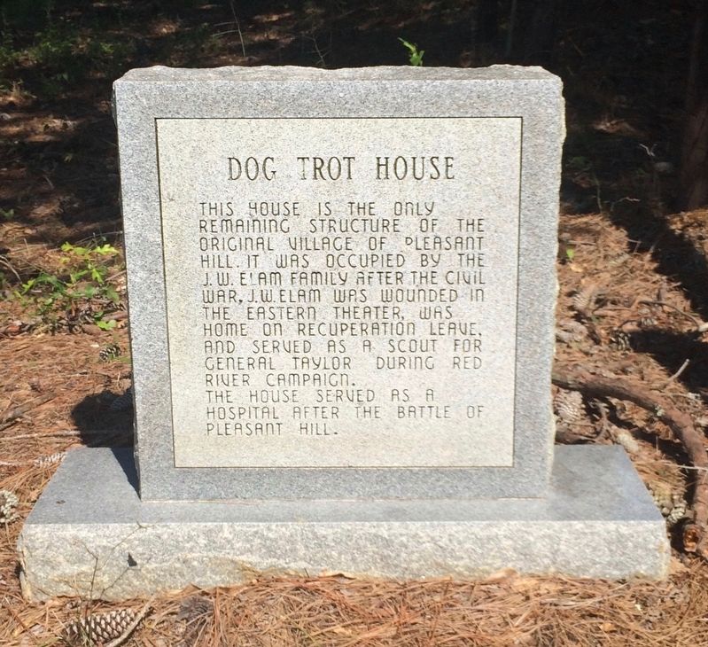
1. Dog Trot House Marker (front)
Front
This house is the only remaining structure of the original village of Pleasant Hill. It was occupied by the J.W. Elam family after the Civil War. J.W. Elam was wounded in the eastern theater, was home on recuperation leave, and served as a scout for General Taylor during Red River Campaign. The house served as a hospital after the Battle of Pleasant Hill.
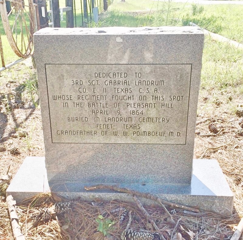
Rear
3rd Sgt. Gabrial Landrum
Co. E 11 Texas C.S.A.
Whose regiment fought on this spot
in the Battle of Pleasant Hill
April 9, 1864
Buried in Landrum Cemetery
Fenet Texas
Grandfather of W.W. Poimboeuf, M.D.
Topics. This historical marker is listed in these topic lists: Notable Buildings • War, US Civil. A significant historical date for this entry is April 9, 1864.
Location. 31° 51.312′ N, 93° 31.197′ W. Marker is near Old Pleasant Hill, Louisiana, in De Soto Parish. It is on Louisiana Route 175 half a mile west of Route 177, on the right when traveling west. Touch for map. Marker is in this post office area: Pelican LA 71063, United States of America. Touch for directions.

Regionally, this marker is in North Louisiana. It is also
this page online
Other nearby markers. At least 8 other markers are within walking distance of this marker: Sergeant John H. Cook (about 600 feet away, measured in a direct line); Leutenant General Richard Taylor (about 600 feet away); Confederate and Union Soldier Memorial (approx. 0.4 miles away); Road to Cemetery (approx. 0.4 miles away); Headquarters Department of the Gulf / Headquarters Trans-Mississippi Dept. (approx. 0.4 miles away); Pleasant Hill Battlefield (approx. 0.4 miles away); Old Pleasant Hill (approx. 0.4 miles away); Welcome to Old Pleasant Hill (approx. 0.4 miles away). Touch for a list and map of all markers in Old Pleasant Hill.
Photographed by Mark Hilton, June 28, 2017
2. Dog Trot House Marker (rear)
Photographed by Mark Hilton, June 28, 2017
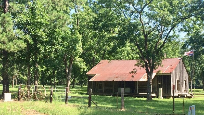
3. The Dog Trot House
Photographed by Mark Hilton, June 28, 2017
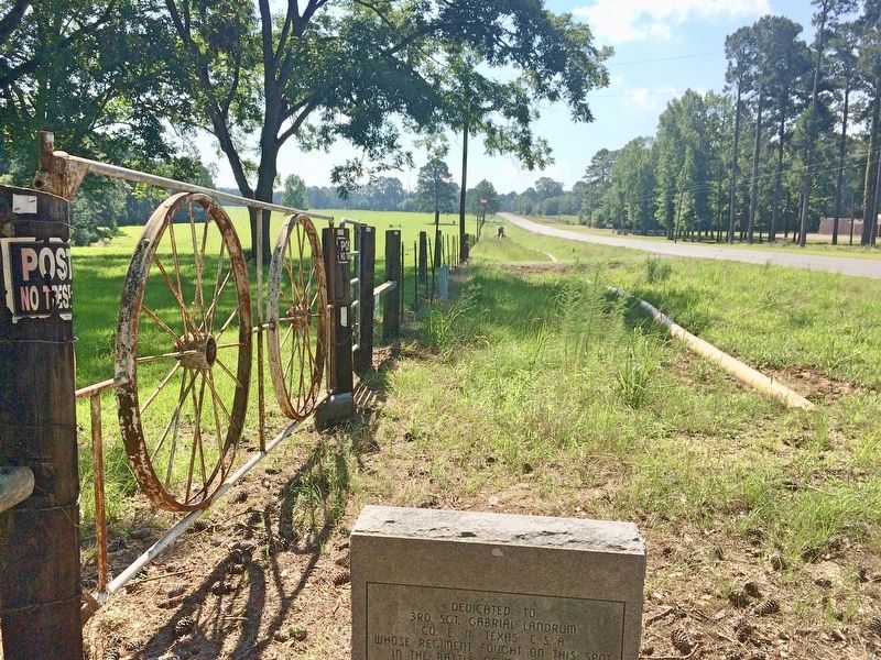
4. The view east on Highway 175.
Credits. This page was last revised on July 12, 2017. It was originally submitted on July 11, 2017, by Mark Hilton of Montgomery, Alabama. This page has been viewed 816 times since then and 56 times this year. Photos: 1, 2, 3, 4. submitted on July 11, 2017, by Mark Hilton of Montgomery, Alabama.
