Old Pleasant Hill in De Soto Parish, Louisiana — The American South (West South Central)
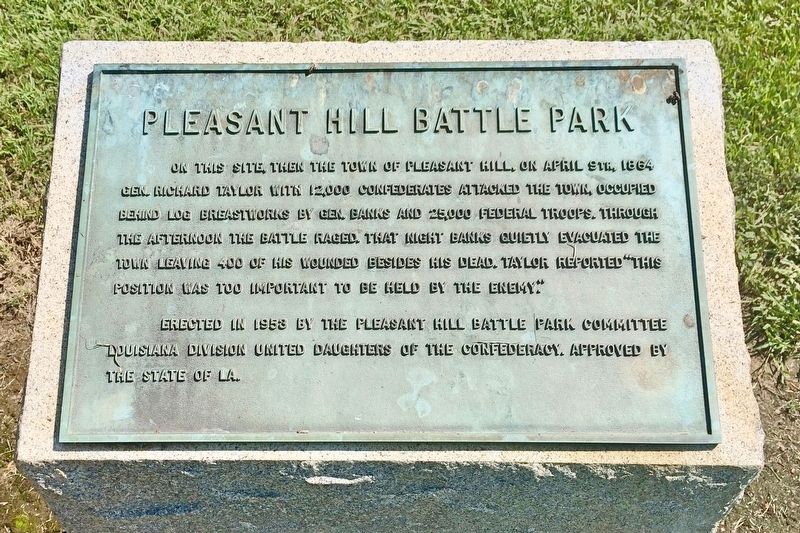
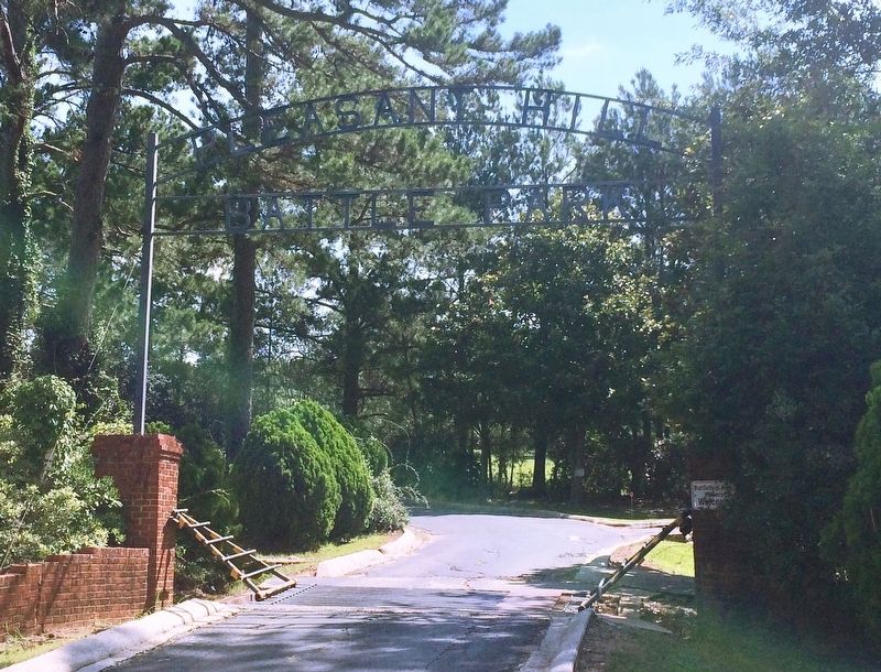
Pleasant Hill Battle Park
Erected 1953 by the Pleasant Hill Battle Park Committee Louisiana Division United Daughters of the Confederacy. Approved by the State of LA.
Topics and series. This historical marker is listed in this topic list: War, US Civil. In addition, it is included in the United Daughters of the Confederacy series list. A significant historical date for this entry is April 9, 1864.
Location. 31° 51.196′ N, 93° 30.81′ W. Marker is in Old Pleasant Hill, Louisiana, in De Soto Parish. Marker is at the intersection of Louisiana Route 175 and Parish Road 1068, on the right when traveling north on State Route 175. Touch for map. Marker is at or near this postal address: 23271 LA-175, Pelican LA 71063, United States of America. Touch for directions.
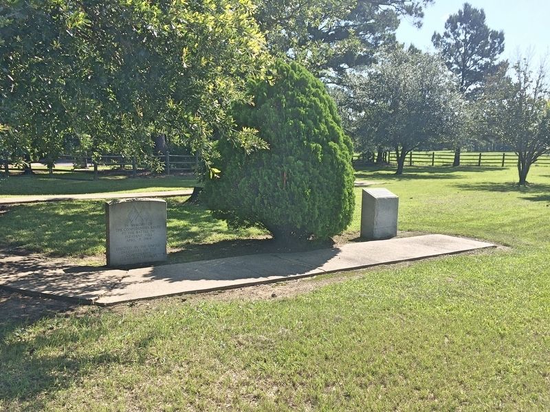
Other nearby markers. At least 8 other markers are within walking distance of this marker. Battle of Pleasant Hill Memorial (here, next to this marker); Account of the Battle of Pleasant Hill (a few steps from this marker); The Old Cistern (a few steps from this marker); Old Pleasant Hill (a few steps from this marker); War for Southern Independence (within shouting distance of this marker); Pleasant Hill Battlefield (within shouting distance of this marker); Dr. and Mrs. C.E. "Gene" Poimboeuf (within shouting distance of this marker); Headquarters Department of the Gulf / Headquarters Trans-Mississippi Dept. (within shouting distance of this marker). Touch for a list and map of all markers in Old Pleasant Hill.
Also see . . . Wikipedia article on the Battle of Pleasant Hill. (Submitted on July 12, 2017, by Mark Hilton of Montgomery, Alabama.)
Credits. This page was last revised on July 13, 2017. It was originally submitted on July 12, 2017, by Mark Hilton of Montgomery, Alabama. This page has been viewed 837 times since then and 128 times this year. Photos: 1, 2, 3, 4. submitted on July 12, 2017, by Mark Hilton of Montgomery, Alabama.


