Near Park Valley in Box Elder County, Utah — The American Mountains (Southwest)
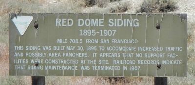
Red Dome Siding
1895-1907
Photographed by Barry Swackhamer, June 20, 2017
1. Red Dome Siding Marker
This siding was built May 30, 1895 to accommodate increased traffic and possibly area ranchers. It appears than no support facilities were constructed at the site. Railroad records indicate that siding maintenance was terminated in 1907.
Erected by Department of the Interior, Bureau of Land Management.
Topics and series. This historical marker is listed in this topic list: Railroads & Streetcars. In addition, it is included in the First Transcontinental Railroad series list. A significant historical year for this entry is 1895.
Location. 41° 31.321′ N, 113° 26.221′ W. Marker is near Park Valley, Utah, in Box Elder County. It is on Transcontinental Railroad Back Country Byway, on the right when traveling west. Touch for map. Marker is in this post office area: Park Valley UT 84329, United States of America. Touch for directions.

Regionally, this marker is in Utah’s Cache Valley and in the West Desert. It is also in the American Mountain West and on the Colorado Plateau. Globally, it is in North America, the Rocky Mountains, the Western Hemisphere, the Western World,
this page online
Other nearby markers. At least 7 other markers are within 10 miles of this marker, measured as the crow flies: Old Terrace (approx. 3.4 miles away); Terrace Cemetery (approx. 3.8 miles away); Terrace (approx. 4.3 miles away); Matlin (approx. 4.7 miles away); Watercress (approx. 6.7 miles away); Walden Siding (approx. 9.2 miles away); Romola (approx. 9.6 miles away).
More about this marker. The Transcontinental Railroad Back Country Byway is a 90 mile dirt/gravel track on top of or beside the old Central Pacific Rail Road grade between Old Lucin and Promontory Summit. Other than markers designating old station and sidings there are few, if any, road signs identifying any of the side roads. Any other road names or numbers use on this marker page have been taken Google Maps which identifies the Byway variously as Golden Spike Loop Road, Old Railroad Grade Road, Salt Wells Road, etc. Neither are there any mileage posts, though one could do the arithmetic using the "Mile ... from San Francisco" on the markers to determine
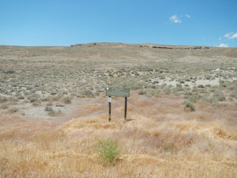
Photographed by Barry Swackhamer, June 20, 2017
2. Red Dome Siding Marker
Credits. This page was last revised on July 13, 2017. It was originally submitted on July 13, 2017, by Barry Swackhamer of Brentwood, California. This page has been viewed 390 times since then and 29 times this year. Photos: 1, 2. submitted on July 13, 2017, by Barry Swackhamer of Brentwood, California.
