Burgin in Mercer County, Kentucky — The American South (East South Central)
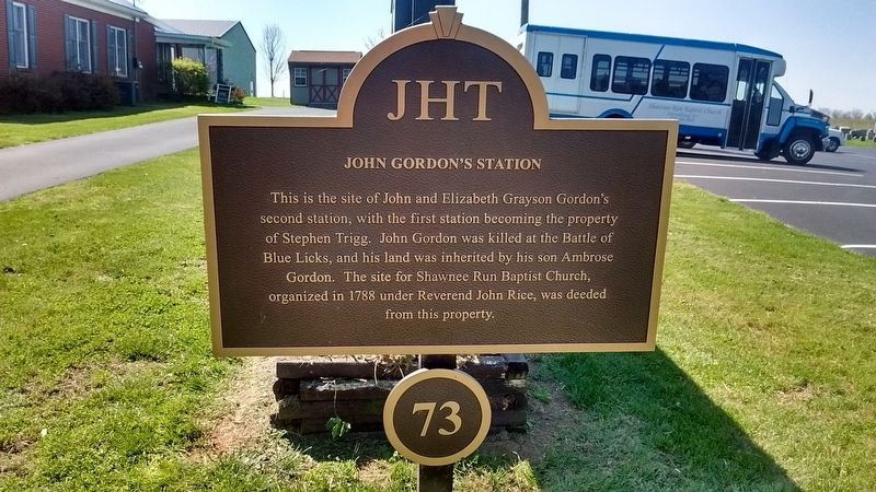
John Gordon's Station
Topics. This historical marker is listed in these topic lists: Colonial Era • Settlements & Settlers • War, US Revolutionary.
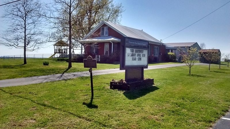
Location. 37° 47.051′ N, 84° 45.307′ W. Marker is in Burgin, Kentucky, in Mercer County. Marker is on Shakertown Road (Kentucky Route 33), on the left when traveling north. Touch for map. Marker is at or near this postal address: 1490 Shakertown Road, Burgin KY 40310, United States of America. Touch for directions.
Other nearby markers. At least 8 other markers are within 3 miles of this marker, measured as the crow flies. Rev. John Rice (about 300 feet away, measured in a direct line); Neighbors-Governors / Mercer Governors (approx. 2 miles away); Fairview (approx. 2.1 miles away); Early Vital Junction / Colonel John Bowman (approx. 2.2 miles away); Burgin Christian Church (approx. 2.3 miles away); Shakertown at Pleasant Hill (approx. 2.4 miles away); "Morgan's Men" Here (approx. 2˝ miles away); Old Mail Stage Route (approx. 2˝ miles away). Touch for a list and map of all markers in Burgin.
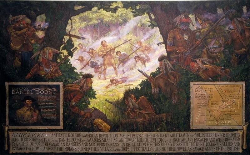
Also see . . . Battle of Blue Licks. (Submitted on July 13, 2017, by Tom Bosse of Jefferson City, Tennessee.)
Credits. This page was last revised on July 15, 2017. It was originally submitted on July 13, 2017, by Tom Bosse of Jefferson City, Tennessee. This page has been viewed 480 times since then and 36 times this year. Photos: 1, 2, 3. submitted on July 13, 2017, by Tom Bosse of Jefferson City, Tennessee. • Bill Pfingsten was the editor who published this page.


