Pioneer Teacher, 1779
⎯⎯⎯
McAfee Station
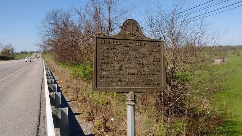
Pioneer Teacher, 1779
John May, first teacher in school at McAfee Station, 1779. One of four Ky. Dist. delegates, 1781, to Va. House of Burgesses. First clerk of Supreme Court, Ky. Dist. and one of original trustees of Transylvania Seminary, 1783. With Simon Kenton, famed frontiersman, he owned land where Maysville, Ky. was established by Va., 1787. It was named for May
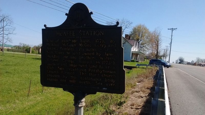
McAfee Station
Site of stockade built, 1779, by McAfee, McCoun, McGee, Curry and Adams families, 1 1/2 miles west on Salt River on land owned by James McAfee. He and brothers, William, Robert, George, Samuel in 1773-5, marked and improved land in area, 1785. New Providence Presbyterian Church formed. The third church erected by this continuous body stands one mile north.
Erected 1966 by Kentucky Historical Society & Kentucky Department of Highways. (Marker Number 928.)
Topics. This historical marker is listed in these topic lists: Forts and Castles • Settlements & Settlers. A significant historical year for this entry is 1779.
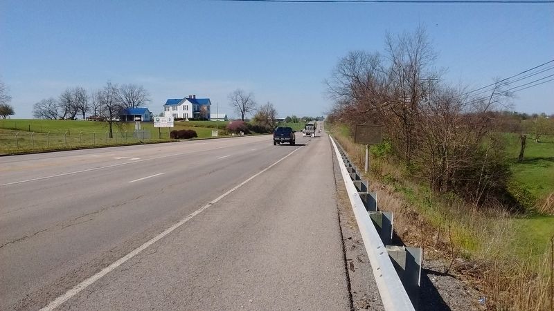
Location. 37° 51.265′ N, 84° 51.123′ W. Marker is in Salvisa, Kentucky, in Mercer County. It is on Louisville Road (U.S.
this page online

Regionally, this marker is in Kentucky’s Bluegrass Region. It is also in the American South and specifically in the Upper South. Globally, it is in North America, the Western Hemisphere, the Western World, and the Anglosphere. Historically, it finds itself in what was once the territory of the Mississippian Culture and also the Antebellum South.
Other nearby markers. At least 8 other markers are within 5 miles of this marker, measured as the crow flies: A different marker also named Pioneer Teacher, 1779 / McAfee Station (approx. ¼ mile away); New Providence (approx. 0.7 miles away); Revolutionary War Soldiers (approx. 0.7 miles away); In Honor of the Pioneer Fathers (approx. 0.7 miles away); Thomas Cleland / New Providence Presbyterian Church (approx. 0.7 miles away); In Memory of Jane McAfee (approx. 1.1 miles away); Warwick/Oregon / Warwick (approx. 3.7 miles away); Gabriel Slaughter (approx. 5 miles away). Touch for a list and map of all markers in Salvisa.
Also see . . . An Attack on McAfee's Station.
Credits. This page was last revised on July 15, 2017. It was originally submitted on July 13, 2017, by Tom Bosse of Jefferson City, Tennessee. This page has been viewed 520 times since then and 37 times this year. Photos: 1, 2, 3. submitted on July 13, 2017, by Tom Bosse of Jefferson City, Tennessee. • Bill Pfingsten was the editor who published this page.
