
Hebron Church
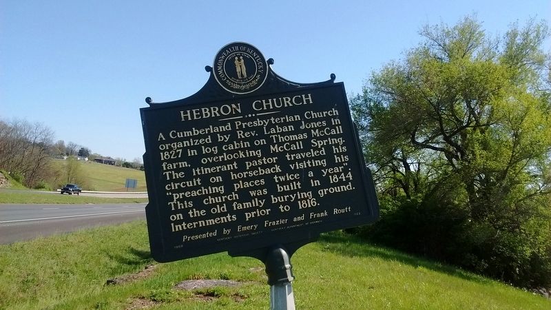
Presented by Emery Frazier and Frank Routt
Erected 1968 by Kentucky Historical Society & Kentucky Department of Highways. (Marker Number 1122.)
Topics. This historical marker is listed in this topic list: Religion & Religious Structures. A significant historical year for this entry is 1827.
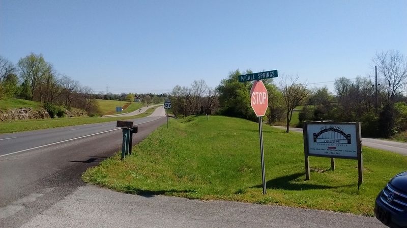
Location. 37° 57.937′ N, 84° 52.449′ W. Marker is near Lawrenceburg, Kentucky, in Anderson County. It is on U.S. 127, on the left when traveling north. Touch for map. Marker is in this post office area: Lawrenceburg KY 40342, United States of America. Touch for directions.
Regionally, this marker is in Kentucky’s Bluegrass Region. It is also in the American South and specifically in the Upper South. Globally, it is in North America, the Western Hemisphere, the Western World, and the Anglosphere.
this page online
Other nearby markers. At least 8 other markers are within 6 miles of this marker, measured as the crow flies: McCall's Spring (here, next to this marker); Salt River Church (approx. 3 miles away); Warwick/Oregon / Warwick (approx. 4.1 miles away); William H. Townsend (approx. 4.3 miles away); Anna Mac Clarke (1919-44) (approx. 5 miles away); Kavanaugh School / Mrs. "K" (approx. 5.1 miles away); Distinguished Officers - Alumni of Kavanaugh / Kavanaugh School (approx. 5.1 miles away); County Named, 1827 (approx. 5.2 miles away). Touch for a list and map of all markers in Lawrenceburg.
Credits. This page was last revised on July 15, 2017. It was originally submitted on July 13, 2017, by Tom Bosse of Jefferson City, Tennessee. This page has been viewed 1,001 times since then and 77 times this year. Photos: 1, 2. submitted on July 13, 2017, by Tom Bosse of Jefferson City, Tennessee. • Bill Pfingsten was the editor who published this page.
