Richmond in Cache County, Utah — The American Mountains (Southwest)
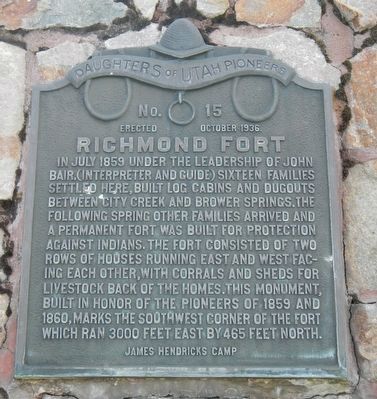
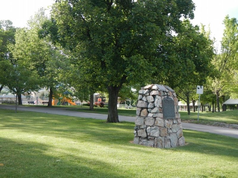
Richmond Fort
Erected 1936 by Daughters of Utah Pioneers, James Hendricks Camp. (Marker Number 15.)
Topics and series. This historical marker is listed in these topic lists: Forts and Castles • Settlements & Settlers. In addition, it is included in the Daughters of Utah Pioneers series list. A significant historical month for this entry is July 1859.
Location. 41° 55.318′ N, 111° 48.841′ W. Marker is in Richmond, Utah, in Cache County. Marker is on South 200 West (U.S. 91 at milepost 40) near West Main Street, on the right when traveling north. Touch for map. Marker is at or near this postal address: 58 South 200 West, Richmond UT 84333, United States of America. Touch for directions.
Other nearby markers. At least 8 other markers are within 7 miles of this marker, measured as the crow flies. S. Milton and Alba C. Webb House (approx. 0.3 miles away); In Memory of Ira Elias Merrill (approx. 6 miles away); Idaho's Oldest Town (approx. 6.4 miles away in Idaho); The Birthplace of Samuel P. Cowley (approx. 6˝ miles away in Idaho); Franklin's Pioneer School House 1860 (approx. 6.6 miles away in Idaho); Franklin Relic Hall - 1937 (approx. 6.6 miles away in Idaho); FCMI Store 1858 (approx. 6.6 miles away in Idaho); Franklin Historic District (approx. 6.6 miles away in Idaho).
Credits. This page was last revised on July 14, 2017. It was originally submitted on July 14, 2017, by Barry Swackhamer of Brentwood, California. This page has been viewed 329 times since then and 28 times this year. Photos: 1, 2. submitted on July 14, 2017, by Barry Swackhamer of Brentwood, California.

