
Oude Stad in Haarlem, North Holland, Netherlands — Northwestern Europe
De Waag
⎯⎯⎯
The Weigh House
Photographed by Andrew Ruppenstein, June 19, 2017
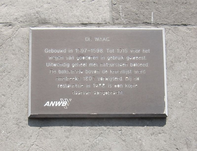
1. De Waag / The Weigh House Marker
Built in 1597-1598. Was used for the weighing of goods until 1915. Exterior clad with natural stone. The balustrade above the cornice was removed around 1800. During the restoration in 1988 a replica of the balustrade was installed.
Erected by The ANWB.
Topics. This historical marker is listed in this topic list: Industry & Commerce. A significant historical year for this entry is 1915.
Location. 52° 22.81′ N, 4° 38.383′ E. Marker is in Oude Stad, Noord-Holland (North Holland), in Haarlem. It is at the intersection of Damstraat and Spaarne, on the left when traveling east on Damstraat. Touch for map. Marker is at or near this postal address: Damstraat 29, Oude Stad, Noord-Holland 2011 CJ, Netherlands. Touch for directions.

Regionally, it is in Europe, the European Union, Atlantic Europe, the Benelux Low Countries, the Schengen Area,
this page online
Other nearby markers. At least 8 other markers are within walking distance of this marker: Teylers Fundatiehuis / The Teyler Foundation House (within shouting distance of this marker); Joods Monument Haarlem / Haarlem Holocaust Memorial (about 150 meters away, measured in a direct line); Hofje van Bakenes / Van Bakenes Almshouse (about 180 meters away); Site of Former Synagogue (about 180 meters away); Manuel van Gelderen (about 210 meters away); Clara van Gelderen (about 210 meters away); Marie van Gelderen (about 210 meters away); Jacob van Gelderen (about 210 meters away). Touch for a list and map of all markers in Oude Stad.
Also see . . . Waag, Haarlem (Wikipedia). "The Waag (Waegh) is a former Weigh house in Haarlem that today serves as a café catering to tourists....The building was designed by Lieven de Key around 1597 and is built with Namense steen from Namur, Belgium. It is the only building in Haarlem that was built this way, and was designed in its day as a landmark that befits an authority. The
Photographed by Andrew Ruppenstein, June 19, 2017
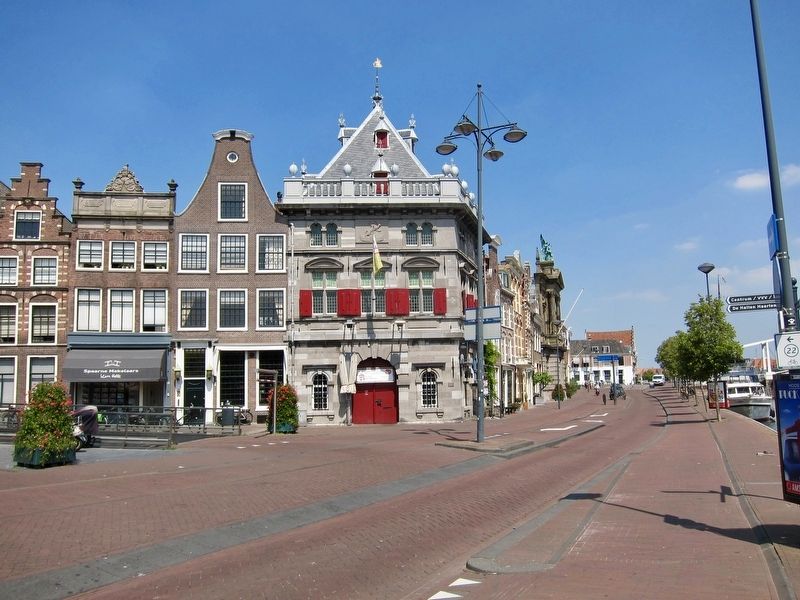
2. De Waag / The Weigh House and Marker
The marker is visible here on the lower right corner of the building with the red shutters.
Postcard published by Dr. Trenkler Co., Leipzig, 1903
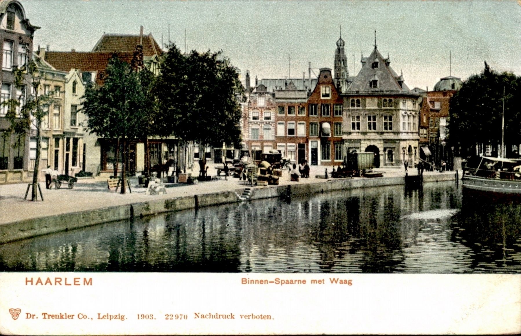
3. Haarlem. Binnen-Spaarne met Waag
Credits. This page was last revised on February 12, 2022. It was originally submitted on July 15, 2017, by Andrew Ruppenstein of Lamorinda, California. This page has been viewed 461 times since then and 41 times this year. Photos: 1, 2, 3. submitted on July 15, 2017, by Andrew Ruppenstein of Lamorinda, California.
