Thomaston in Knox County, Maine — The American Northeast (New England)
Terraces, Overlook and Allées
Knox Museum
| — | Thomaston, Maine | — |
Photographed by Bill Coughlin, July 13, 2017
1. Terraces, Overlook and Allées Marker
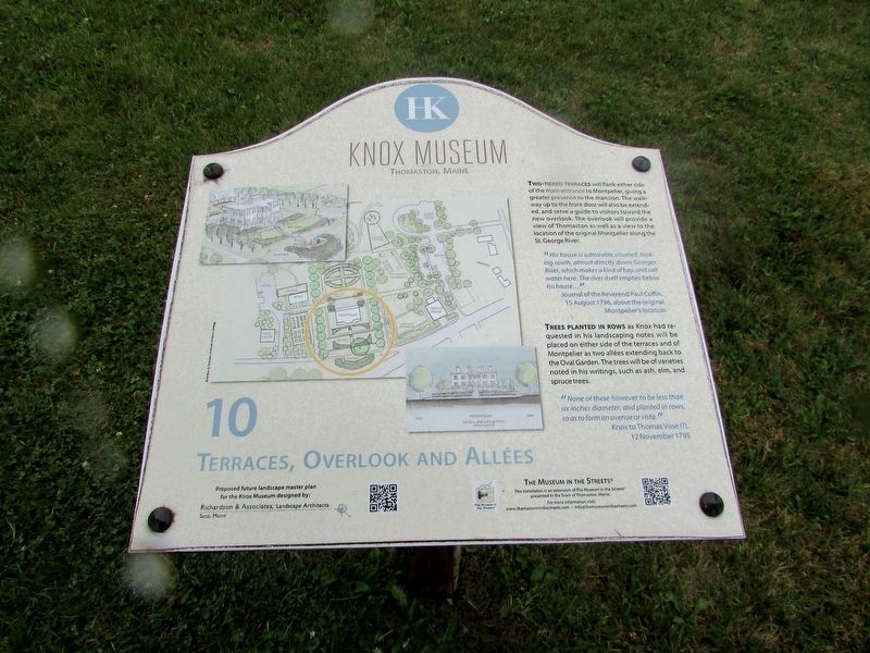
Two-tiered terraces will flank either side of the main entrance to Montpelier, giving a greater presence to the mansion. The walkway up to the front door will also be extended, and serve (as) a guide to visitors toward the new overlook. The overlook will provide a view of Thomaston as well as a view to the location of the original Montpelier along the St. George River.
"His house is admirable situated, looking south, almost directly down Georges River, which makes a kind of bay, and salt water here. The river itself empties below his house… ”
Journal of the Reverend Paul Coffin, 15 August 1796, about the original Montpelier’s location
Trees planted in rows as Knox had requested in his landscaping notes will be placed on either side of the terraces and of Montpelier as two allées extending back to the Oval Garden. The trees will be of varieties noted in his writings, such as ash, elm, and spruce trees.
"None of these however to be less than
six inches diameter, and planted in rows,
so as to form an avenue or vista."
Knox to Thomas Vose (?), 12 November 1795
Erected by The Museum in the Streets®. (Marker
this page online
Topics. This historical marker is listed in this topic list: Notable Places.
Location. 44° 4.904′ N, 69° 10.127′ W. Marker is in Thomaston, Maine, in Knox County. It is at the intersection of High Street (Maine Route 131) and Main Street (U.S. 1), on the left when traveling south on High Street. Marker is located next to the Knox Mansion. Touch for map. Marker is at or near this postal address: 30 High Street, Thomaston ME 04861, United States of America. Touch for directions.

Regionally, this marker is in Midcoast Maine and on Penobscot Bay. It is also in the American Northeast, in New England, and on the Eastern Seaboard. Globally, it is in the North Atlantic Region, North America, the Western Hemisphere, the Western World, and the Anglosphere.
Other nearby markers. At least 8 other markers are within walking distance of this marker: Heirloom Vegetable and Fruit Garden, Barn and Orchard (within shouting distance of this marker); The Oval Garden and Willow Pond (within shouting distance of this marker); General Henry Knox's Estate / La Propriété du General Henry Knox
Photographed by Bill Coughlin, July 13, 2017
2. Terraces, Overlook and Allées Marker
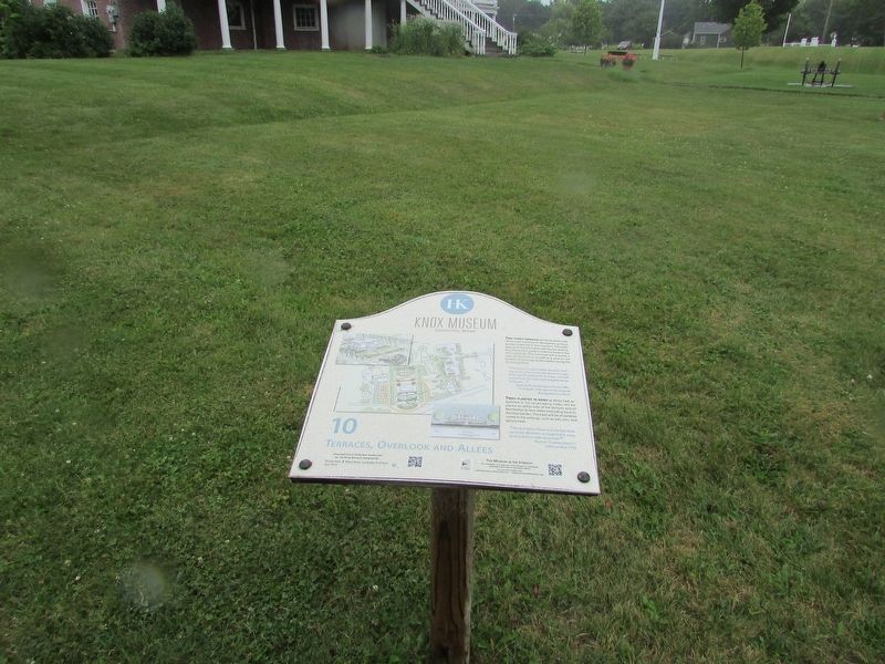
More about this marker. A plan for the Knox estate showing the terraces and walls in front of Montpelier appears on the marker.
Also see . . . Henry Knox Museum. (Submitted on July 15, 2017, by Bill Coughlin of Woodland Park, New Jersey.)
Photographed by Bill Coughlin, July 13, 2017
3. Terraces, Overlook and Allées Marker
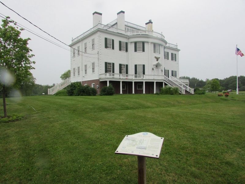
The Knox Mansion can be seen behind the marker.
Photographed by Bill Coughlin, July 13, 2017
4. Henry Knox's Montpelier
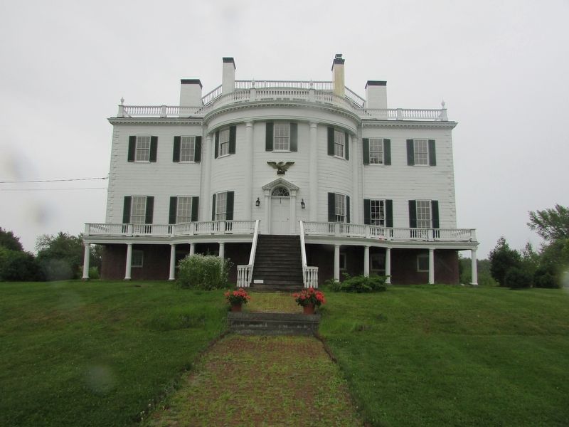
The photo of Montpelier shows where the Terraces and Allées will be built.
Credits. This page was last revised on December 3, 2021. It was originally submitted on July 15, 2017, by Bill Coughlin of Woodland Park, New Jersey. This page has been viewed 300 times since then and 15 times this year. Photos: 1, 2, 3, 4. submitted on July 15, 2017, by Bill Coughlin of Woodland Park, New Jersey.
