Laurentian Hills in Renfrew County, Ontario — Central Canada (North America)
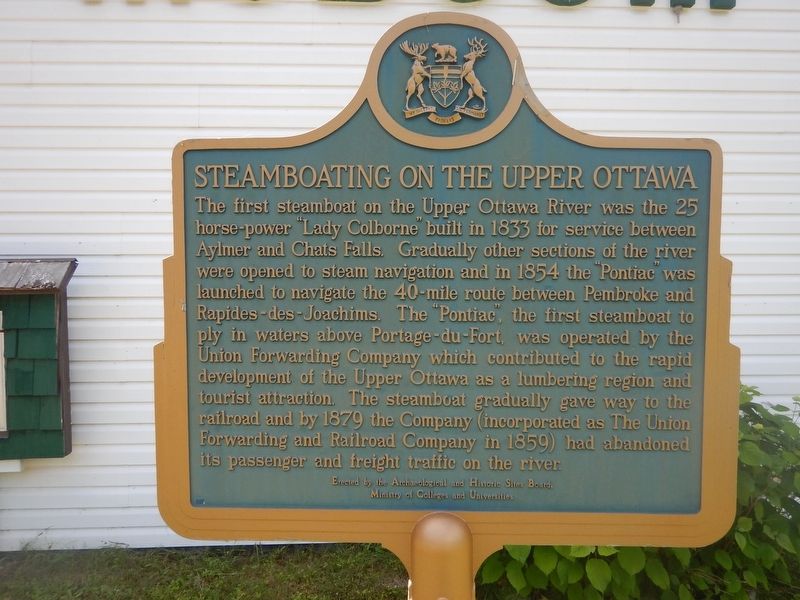
Steamboating on the Upper Ottawa
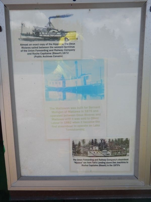
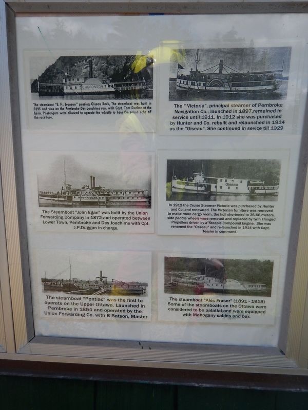
The first steamboat on the Upper Ottawa River was the 25 horse-power "Lady Colborne" built in 1833 for service between Aylmer and Chats Falls. Gradually other sections of the river where opened to steam navigation and in 1854 the "Pontiac" was launched to navigate the 40-mile route between Pembroke and Rapides-des-Joachims. The "Pontiac", the first steamboat to ply in waters above Portage-du-Fort, was operated by the Union Forwarding Company which contributed to the rapid development of the Upper Ottawa as a lumbering region and tourist attraction. The steamboat gradually gave way to the railroad and by 1879 the Company (incorporated as The Union Forwarding and Railroad Company in 1859) had abandoned its passenger and freight traffic on the river.
Erected by Archaeological and Historic Sites Board of Ontario.
Topics. This historical marker is listed in these topic lists: Horticulture & Forestry • Waterways & Vessels. A significant historical year for this entry is 1833.
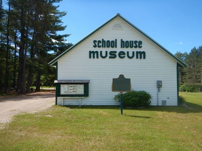
Location. 46° 10.077′ N, 77° 37.237′ W. Marker is in Laurentian Hills, Ontario, in Renfrew County. Marker is on Provincial Highway 17, 0.1 kilometers west of Kirkwood Way, on the right when traveling east. Marker is located in front of the School House Museum. Touch for map. Marker is at or near this postal address: 35753 Highway 17, Laurentian Hills ON K0J 1P0, Canada. Touch for directions.
Other nearby markers. At least 1 other marker is within 6 kilometers of this marker, measured as the crow flies. Nuclear Power Demonstration Reactor (approx. 5.4 kilometers away).
Also see . . .
1. School House Museum website. (Submitted on July 16, 2017, by Kevin Craft of Bedford, Quebec.)
2. School House Museum. New website for School House Museum
School House Museum(Submitted on August 31, 2022, by Dianne Lemire of Laurentian Hills, Ontario.)
35753 Hwy 17
Laurentian Hills, Ontario
Credits. This page was last revised on September 4, 2022. It was originally submitted on July 16, 2017, by Kevin Craft of Bedford, Quebec. This page has been viewed 252 times since then and 24 times this year. Photos: 1, 2, 3, 4. submitted on July 16, 2017, by Kevin Craft of Bedford, Quebec.


