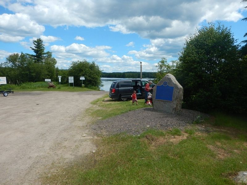
Deux-Rivières in Renfrew County, Ontario — Central Canada (North America)
Rapids of the Upper Ottawa
For over two centuries the Ottawa River was part of the main canoe route to the West. Some of the river's most spectacular and dangerous rapids were located immediately downriver from here: the Rapide de la Veillée, the Trou and the Rapide des Deux Rivières. Further on lay the legendary Rapide de la Roche Capitaine. In 1800 the explorer Daniel Harmon counted fourteen crosses commemorating voyageurs who had drowned in its swirling waters. By 1950, with the construction of the Des Joachims generating station, these rapids and their portages had been submerged in the dam's headpond, Holden Lake.
Erected by Ontario Heritage Foundation.
Topics. This historical marker is listed in these topic lists: Settlements & Settlers • Waterways & Vessels. A significant historical year for this entry is 1800.
Location. 46° 15.175′ N, 78° 17.255′ W. Marker is in Deux-Rivières, Ontario, in Renfrew County. Marker is on Dunlop Crescent, 0.1 kilometers north of Trans-Canada Highway (Provincial Highway 17), on the right when traveling north. Marker is located just off the road in a small parking area. Touch for map. Marker is in this post office area: Deux-Rivières ON K0J 1R0, Canada. Touch for directions.
Credits. This page was last revised on July 16, 2017. It was originally submitted on July 16, 2017, by Kevin Craft of Bedford, Quebec. This page has been viewed 214 times since then and 7 times this year. Photos: 1, 2. submitted on July 16, 2017, by Kevin Craft of Bedford, Quebec.

