Mattawa in Nipissing District, Ontario — Central Canada (North America)
French-Canadian Settlement and the CPR in the Mattawa area
Photographed by Kevin Craft, July 4, 2017
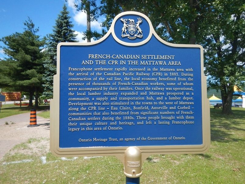
1. French-Canadian Settlement and the CPR in the Mattawa area Marker
Francophone settlement rapidly increased in the Mattawa area with the arrival of the Canadian Pacific Railway (CPR) in 1881. During construction of the rail line, the local economy benefitted from the presence of thousands of French-Canadian workers, some of whom were accompanied by their families. Once the railway was operational, the local lumber industry expanded and Mattawa prospered as a community, a supply and transportation hub, and a lumber depot. Development was also stimulated in the towns to the west of Mattawa along the CPR line - Eau Claire, Bonfield, Astorville and Corbeil - communities that also benefitted from significant numbers of French-Canadian settlers during the 1880s. These people brought with them their unique culture and heritage, and left a lasting Francophone legacy in this area of Ontario.
Erected by Ontario Heritage Trust.
Topics and series. This historical marker is listed in these topic lists: Horticulture & Forestry • Industry & Commerce • Railroads & Streetcars • Settlements & Settlers. In addition, it is included in the Canada, Ontario Heritage Trust series list. A significant historical year for this entry is 1881.
Location. 46° 19.157′ N,
this page online

Regionally, this marker is in Northeastern Ontario and specifically in Northern Ontario. It is also in Central Canada. Globally, it is in North America, the Great North Woods, the Western Hemisphere, the Western World, and the Anglosphere. Historically, it finds itself in what was once a British colony, the Viceroyalty of New France, the Haudenosaunee (Iroquois) Confederacy, and Rupert’s Land.
Other nearby markers. At least 3 other markers are within walking distance of this marker: Mattawa House 1837 (within shouting distance of this marker); Canoe Route to the West (about 210 meters away, measured in a direct line); The Mattawa Route (approx. 0.2 kilometers away).
Photographed by Kevin Craft, July 4, 2017
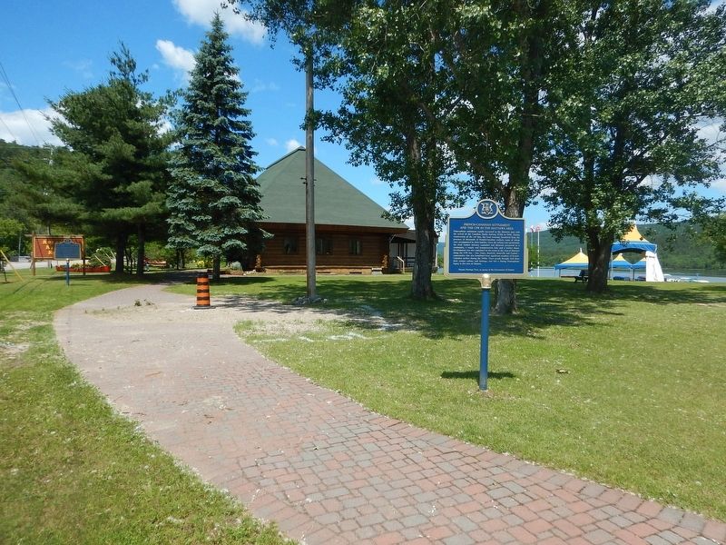
2. French-Canadian Settlement and the CPR in the Mattawa area Marker
Credits. This page was last revised on October 12, 2021. It was originally submitted on July 16, 2017, by Kevin Craft of Bedford, Quebec. This page has been viewed 308 times since then and 30 times this year. Photos: 1, 2. submitted on July 16, 2017, by Kevin Craft of Bedford, Quebec.
