Mattawa in Nipissing District, Ontario — Central Canada (North America)
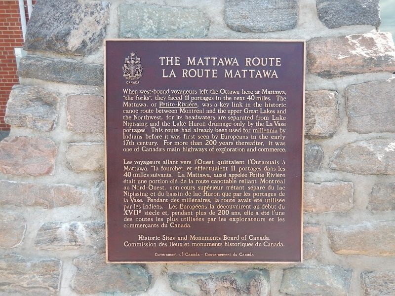
The Mattawa Route
When west-bound voyageurs left the Ottawa here at Mattawa, "the forks," they faced 11 portages in the next 40 miles. The Mattawa, or Petite-Rivière, was a key link in the historic canoe route between Montréal and the upper Great Lakes and the Northwest, for its headwaters are separated from Lake Nipissing and the Lake Huron drainage only by the La Vase portages. This route had already been used for millennia by Indians before it was first seen by Europeans in the early 17th century. For more than 200 years thereafter, it was one of Canada's main highways of exploration and commerce.
Erected by Historic Sites and Monuments Board of Canada.
Topics. This historical marker is listed in these topic lists: Exploration • Settlements & Settlers • Waterways & Vessels.
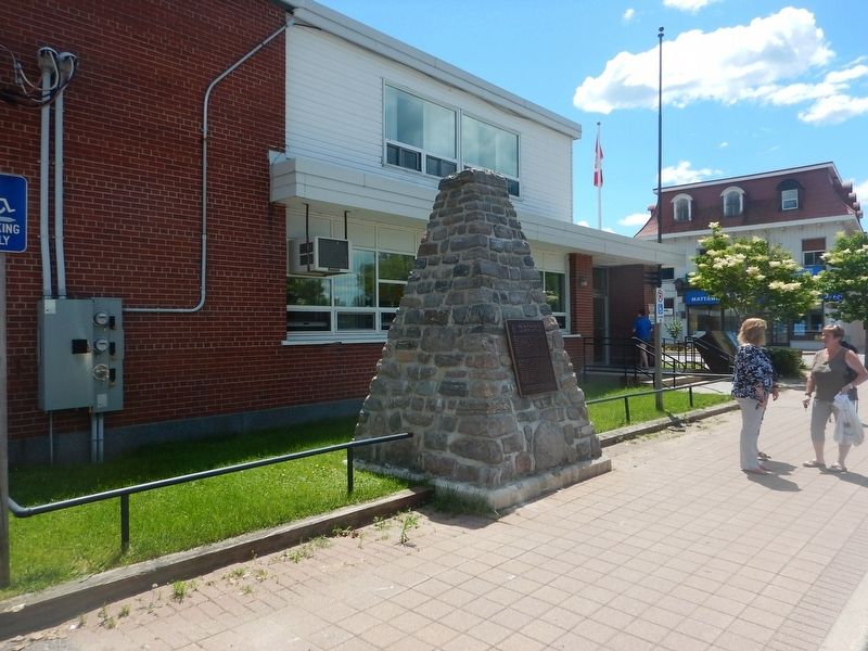
Location. 46° 19.118′ N, 78° 42.357′ W. Marker is in Mattawa, Ontario, in Nipissing District. Marker is at the intersection of Water Street and Main Street (County Highway 533), on the right when traveling north on Water Street. Marker is located adjacent the Mattawa Post Office. Touch for map. Marker is in this post office area: Mattawa ON P0H 1V0, Canada. Touch for directions.
Other nearby markers. At least 3 other markers are within walking distance of this marker. Canoe Route to the West (within shouting distance of this marker); French-Canadian Settlement and the CPR in the Mattawa area (approx. 0.2 kilometers away); Mattawa House 1837 (approx. 0.3 kilometers away).
Credits. This page was last revised on July 16, 2017. It was originally submitted on July 16, 2017, by Kevin Craft of Bedford, Quebec. This page has been viewed 153 times since then and 19 times this year. Photos: 1, 2. submitted on July 16, 2017, by Kevin Craft of Bedford, Quebec.

