Bruce Mines in Algoma District, Ontario — Central Canada (North America)
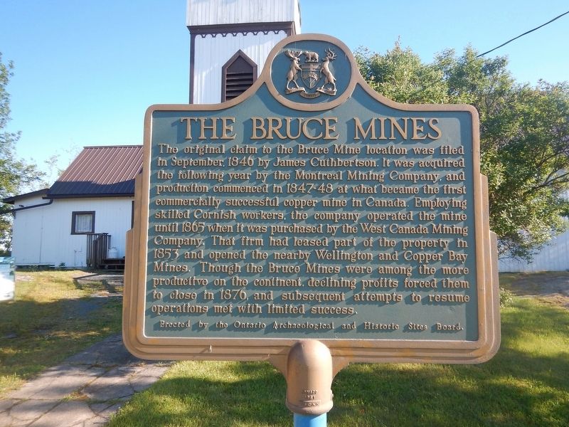
The Bruce Mines
The original claim to the Bruce Mine location was filed in September, 1846 by James Cuthbertson. It was acquired the following year by the Montreal Mining Company, and production commenced in 1847-48 at what became the first commercially successful copper mine in Canada. Employing skilled Cornish workers, the company operated the mine until 1865 when it was purchased by the West Canada Mining Company. That firm had leased part of the property in 1853 and opened the nearby Wellington and Copper Bay Mines. Though the Bruce Mines were among the more productive on the continent, declining profits forced them to close in 1876, and subsequent attempts to resume operations met with limited success.
Erected by Ontario Archaeological and Historic Sites Board.
Topics. This historical marker is listed in these topic lists: Industry & Commerce • Natural Resources. A significant historical month for this entry is September 1846.
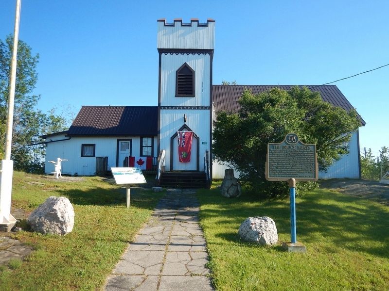
Location. 46° 18.035′ N, 83° 47.278′ W. Marker is in Bruce Mines, Ontario, in Algoma District. Marker is at the intersection of Trans-Canada Highway (Provincial Highway 17) and Taylor Street, on the right when traveling east on Trans-Canada Highway. Marker is located in front of the Bruce Mines Museum. Touch for map. Marker is at or near this postal address: 9227 Highway 17, Bruce Mines ON P0R 1C0, Canada. Touch for directions.
Other nearby markers. At least 1 other marker is within 14 kilometers of this marker, measured as the crow flies. "Ripple Rock" (approx. 13.5 kilometers away).
Also see . . . Bruce Mines. Website homepage (Submitted on July 16, 2017, by Kevin Craft of Bedford, Quebec.)
Credits. This page was last revised on July 27, 2023. It was originally submitted on July 16, 2017, by Kevin Craft of Bedford, Quebec. This page has been viewed 269 times since then and 24 times this year. Photos: 1, 2. submitted on July 16, 2017, by Kevin Craft of Bedford, Quebec.

