Carlton in Mercer County, Pennsylvania — The American Northeast (Mid-Atlantic)
Carlton Bridge
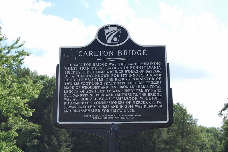
Photographed by Mike Wintermantel, July 16, 2017
1. Carlton Bridge Marker
Erected by Pennsylvania Department of Transportation, Federal Highway Administration.
Topics. This historical marker is listed in this topic list: Bridges & Viaducts. A significant historical year for this entry is 1888.
Location. 41° 28.311′ N, 80° 1.08′ W. Marker is in Carlton, Pennsylvania, in Mercer County. It is at the intersection of New Lebanon Road and Stamm Lane, on the right when traveling north on New Lebanon Road. Marker is located at the east end of the bridge. Touch for map. Marker is in this post office area: Carlton PA 16311, United States
this page online

Regionally, this marker is in Northwestern Pennsylvania and in Greater Erie. It is also in the American Northeast, in the Mid-Atlantic, in Appalachia, and specifically in Northern Appalachia. Globally, it is in North America, the Western Hemisphere, the Western World, and the Anglosphere. Historically, it finds itself in what was once the Haudenosaunee (Iroquois) Confederacy and also one of the original Thirteen Colonies.
Other nearby markers. At least 8 other markers are within 8 miles of this marker, measured as the crow flies: French Creek (approx. 3.7 miles away); George Washington Actually Slept Near Here! (approx. 3.7 miles away); Cochranton Boat Launch (approx. 3.7 miles away); a different marker also named French Creek (approx. 3.7 miles away); McFate Archaeological Site (approx. 3.7 miles away); Utica Bridge (approx. 4 miles away); Adams Homestead (approx. 4.3 miles away); Maurice K. Goddard (approx. 7.3 miles away).
Also see . . . Carlton Bridge. (Submitted on July 16, 2017, by Mike Wintermantel of Pittsburgh, Pennsylvania.)
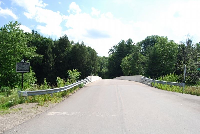
Photographed by Mike Wintermantel, July 16, 2017
2. Carlton Bridge Marker
Credits. This page was last revised on July 16, 2017. It was originally submitted on July 16, 2017, by Mike Wintermantel of Pittsburgh, Pennsylvania. This page has been viewed 715 times since then and 55 times this year. Photos: 1, 2. submitted on July 16, 2017, by Mike Wintermantel of Pittsburgh, Pennsylvania.
