Joinerville in Rusk County, Texas — The American South (West South Central)
Gaston Public School Complex
Photographed by Mark Hilton, June 28, 2017
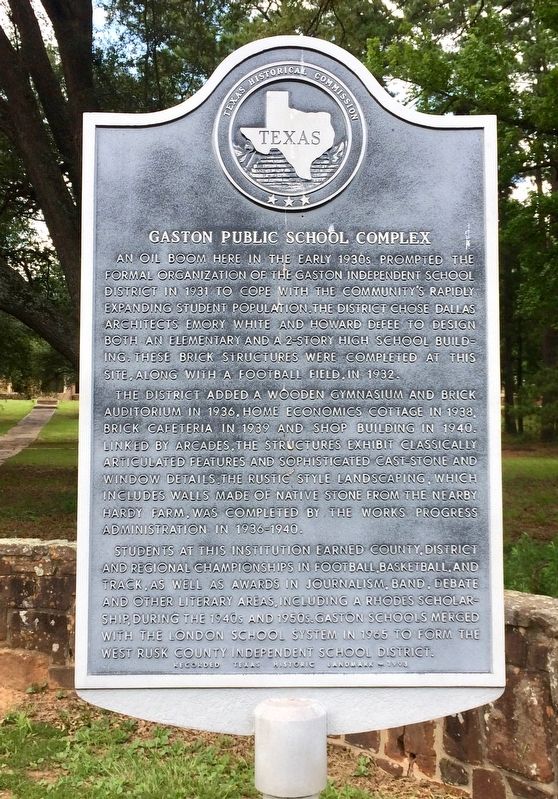
1. Gaston Public School Complex Marker
An oil boom here in the early 1930s prompted the formal organization of the Gaston Independent School District in 1931 to cope with the community's rapidly expanding student population. The district chose Dallas architects Emory White and Howard DeFee to design both an elementary and a 2-story high school building. These brick structures were completed at this site, along with a football field, in 1932.
The district added a wooden gymnasium and brick auditorium in 1936, home economics cottage in 1938, brick cafeteria in 1939 and shop building in 1940. Linked by arcades, the structures exhibit classically articulated features and sophisticated cast-stone and window details. The rustic style landscaping, which includes walls made of native stone from the nearby Hardy farm, was completed by the Works Progress Administration in 1936-1940.
Students at this institution earned county, district and regional championships in football, basketball, and track, as well as awards in journalism, band, debate and other literary areas, including a Rhodes Scholarship, during the 1940s and 1950s. Gaston schools merged with the London
this page online
Recorded Texas Historic Landmark
Erected 1992 by Texas Historical Commission. (Marker Number 10998.)
Topics. This historical marker is listed in these topic lists: Architecture • Education. A significant historical year for this entry is 1931.
Location. 32° 10.649′ N, 94° 53.537′ W. Marker is in Joinerville, Texas, in Rusk County. It is on U.S. 64 0.2 miles west of County Road 481, on the right when traveling west. Touch for map. Marker is at or near this postal address: 6400 TX-64, Henderson TX 75652, United States of America. Touch for directions.

Regionally, this marker is in the American South, specifically in the Deep South, and in the Piney Woods. Globally, it is in North America, a Gulf of Mexico state, the Western Hemisphere, the Western World, and the Anglosphere. Historically, it finds itself in what was once New Spain, the Republic of Texas, one of the Confederate States of America, and the Antebellum South.
Other nearby markers. At least 8 other markers are within 3 miles of this marker, measured as the crow flies: Commemorating The Daisy Bradford #3
Photographed by Mark Hilton, June 28, 2017
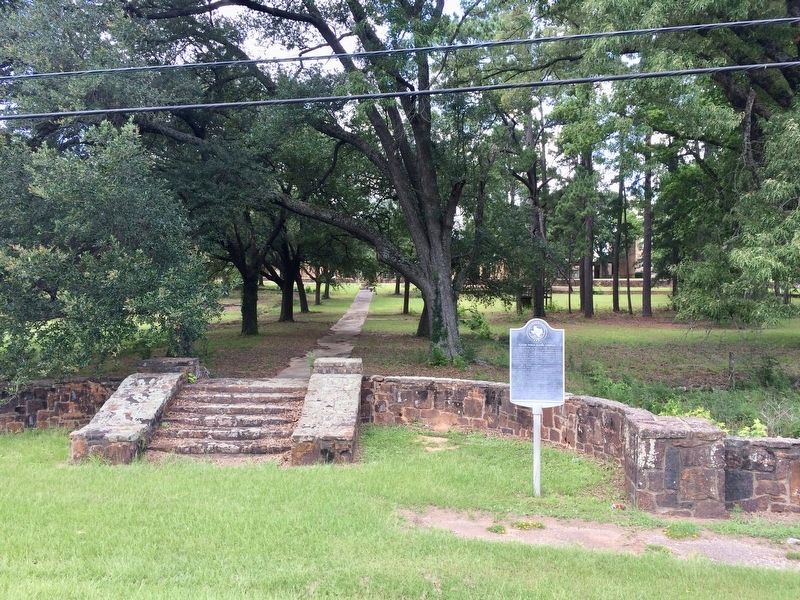
2. Gaston Public School Complex Marker and former Gaston School Complex.
Photographed by Mark Hilton, June 28, 2017
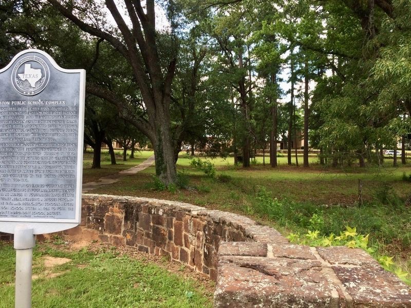
3. Former Gaston Public School Complex (behind trees)
Photographed by Jeff Leichsenring, April 23, 2023
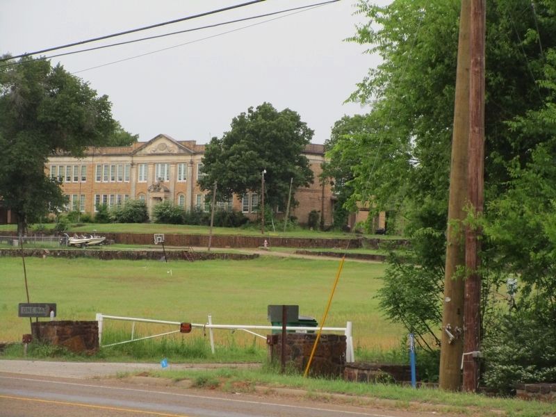
4. One of the buildings from Gaston Public School Complex
Credits. This page was last revised on April 25, 2023. It was originally submitted on July 16, 2017, by Mark Hilton of Montgomery, Alabama. This page has been viewed 2,195 times since then and 168 times this year. Photos: 1, 2, 3. submitted on July 16, 2017, by Mark Hilton of Montgomery, Alabama. 4. submitted on April 24, 2023, by Jeff Leichsenring of Garland, Texas.
