Cherokee "Trail of Tears"
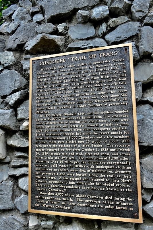
President Andrew Jackson never-less signed the treaty which passed the U. S. Senate by one vote. Only about 500 Cherokees under Boudinot and Ridge left peacefully; all others refused to resettle in Indian Territory of present-day Oklahoma.
In 1838 General Winfield Scott and his soldiers rounded up over 15,000 Cherokees and herded them into stockades where hundreds died of malnutrition and disease. Some were herded onto boats and barges for removal as early as June, 1838, but many drowned when their transports capsized.
Since the summer drought had made the rivers unsafe for travel, the remaining 13,000 Cherokees and a few members of other tribes were divided into 13 groups of about 1,000 each under the guidance of a tribal leader. The separate groups journeyed on foot from October 1, 1838 until March 24, 1839 through rain and mud, sleet and snow, and across frozen creeks and icy rivers. The route covered 1,200 miles. Traveling 10 to 16 miles per day during the exceptionally harsh and cold winter of 1838-9 with inadequate clothing and little or no shelter, many died of malnutrition, dysentery, and pneumonia and were buried along the trail as their relatives wept. A few escaped and returned to their North Carolina mountains to join other who had eluded capture. They and their descendants have become known as the "Eastern Cherokees."
More than 4,000 of the
this page online
Topics and series. This historical marker is listed in these topic lists: Disasters • Indigenous Peoples and Communities. In addition, it is included in the Trail of Tears series list. A significant historical date for this entry is March 24, 1839.
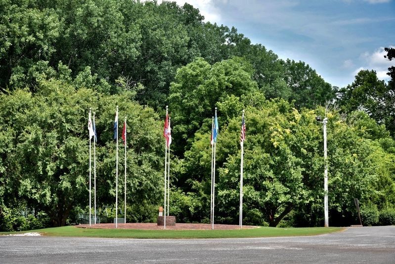
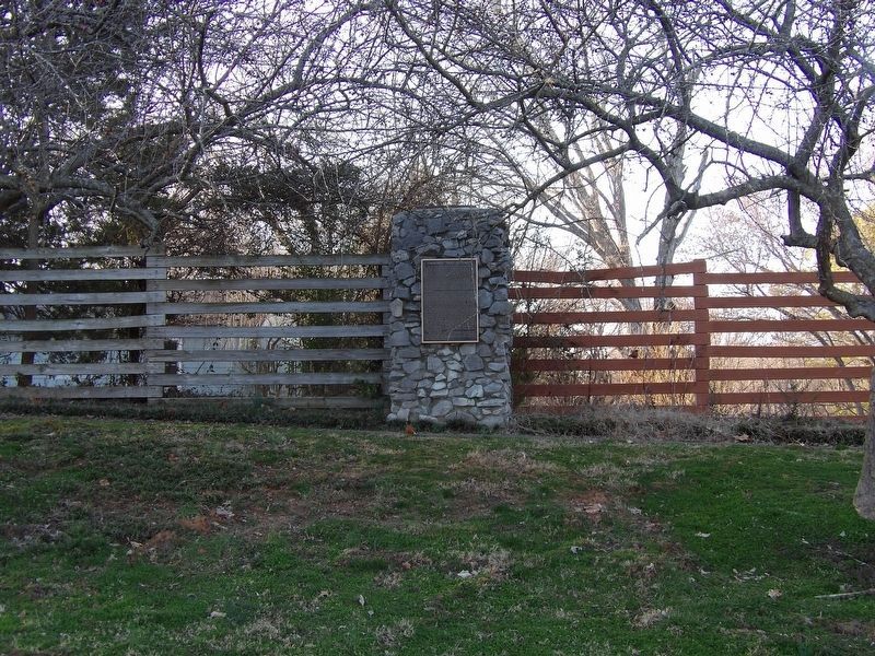
Location. 36° 51.165′ N, 87° 28.18′ W. Marker is in Hopkinsville, Kentucky, in Christian County. It is on Trail of Tears Drive. Marker is located on a rock wall, on the path to the cemetery where two Indian Chiefs are buried. Chief Whitepath and Chief Fly Smith. Touch for map. Marker is at or near this postal address: 200 Trail of Tears Dr, Hopkinsville KY 42240, United States of America. Touch for directions.

Regionally, this marker is in the American Midwest, in the South, and specifically in the Upper South. Globally, it is in North America, the Western Hemisphere, the Western World, and the Anglosphere. Historically, it finds itself in what was once the territory of the Mississippian Culture and also the Antebellum South.
Other nearby markers. At least 8 other markers are within 2 miles of this marker, measured as the crow flies: Whitepath and Fly Smith (here, next to this marker); The Cherokee A Civilized People (within shouting distance of this marker); A Winter Camp (about 300 feet away, measured in a direct line); Mourning at Camp (about 300 feet away); Trail of Tears Indian Camping Grounds (approx. 0.3 miles away); The Trail of Tears (approx. 0.3 miles away); The Knight House (approx. ¾ mile away); Peace Park (approx. 1.1 miles away). Touch for a list and map of all markers in Hopkinsville.
Also see . . .
1. Elias Boudinot (Cherokee). Boudinot believed that removal was inevitable. He and other treaty supporters signed the Treaty of New Echota in 1835, but it was not signed by John Ross, the Principal Chief, and was opposed by most of the tribe. The following year the tribe was forced to cede most of its lands in the Southeast, and remove to the West. (Submitted on July 17, 2017, by Sandra Hughes Tidwell of Killen, Alabama, USA.)
2. John Ridge. John Ridge, born Skah-tle-loh-skee (Yellow Bird) (c. 1802 – June 22, 1839),

Credits. This page was last revised on May 25, 2024. It was originally submitted on July 17, 2017, by Sandra Hughes Tidwell of Killen, Alabama, USA. This page has been viewed 908 times since then and 45 times this year. Photos: 1, 2. submitted on July 17, 2017, by Sandra Hughes Tidwell of Killen, Alabama, USA. 3. submitted on February 25, 2024, by Duane and Tracy Marsteller of Murfreesboro, Tennessee. 4. submitted on May 20, 2024, by Darren Jefferson Clay of Duluth, Georgia. • Bill Pfingsten was the editor who published this page.
