Big Bend in Avoyelles Parish, Louisiana — The American South (West South Central)
Sarto Old Iron Bridge
July 15, 2017
1. Sarto Old Iron Bridge Marker
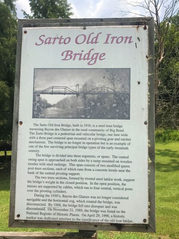
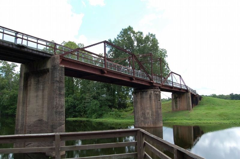
The Sarto Old Iron Bridge, built in 1916, is a steel truss bridge traversing Bayou des Glaises in the rural community of Big Bend. The Sarto Bridge is a pedestrian and vehicular bridge, one lane wide with a three part centered span mounted on a pivoting gear and ratchet mechanism. The bridge is no longer in operation but is an example of one of the few surviving principal bridge types of the early twentieth century.
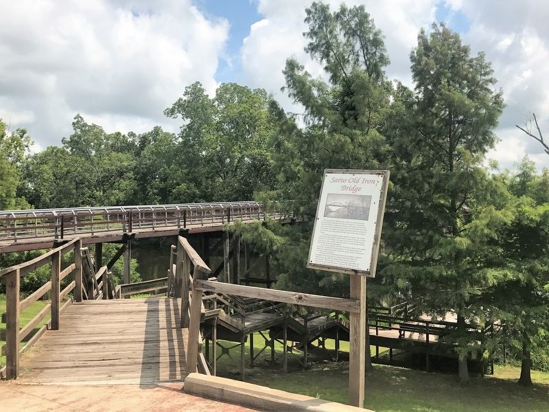
The bridge is divided into three segments, or spans. The central swing span is approached on both sides by a ramp mounted on wooden trestles with steel rackings. This span consists of two modified queen post truss sections, each of which runs from a concrete trestle near the bank of the central pivoting support.
The two truss sections, formed by riveted steel lattice work, support the bridge's weight on the closed position. In the open position, the trusses are supported by cables, which run to four central, vertical posts over the pivoting cylinders.
During the 1930's, Bayou des Glaises was no longer considered navigable on the horizontal cog, which rotated the bridge, was disconnected. By 1988, the bridge fell
this page online
Topics. This historical marker is listed in this topic list: Bridges & Viaducts.
Location. 31° 4.413′ N, 91° 47.577′ W. Marker is in Big Bend, Louisiana, in Avoyelles Parish. It is at the intersection of State Highway 451 and Iron Bridge Crossing (Sarto Lane) on State Highway 451. Touch for map. Marker is at or near this postal address: 8554 LA-451, Moreauville LA 71355, United States of America. Touch for directions.

Regionally, this marker is in Central Louisiana and in Acadiana — Cajun Country. It is also in the American South and specifically in the Deep South. Globally, it is in North America, a Gulf of Mexico state, the Western Hemisphere, the Western World, and the Anglosphere. Historically, it finds itself in what was once New Spain, Acadia, the territory of the Mississippian Culture, the Louisiana Purchase, one of the Confederate
July 15, 2017
2. Sarto Old Iron Bridge Marker
Other nearby markers. At least 8 other markers are within 7 miles of this marker, measured as the crow flies: A Historic Landmark (a few steps from this marker); What is the Sarto Bridge? (a few steps from this marker); Bayou Des Glaises (a few steps from this marker); Big Bend: Development of a Community (a few steps from this marker); a different marker also named Sarto Old Iron Bridge (within shouting distance of this marker); Buddy Guy (approx. 5½ miles away); Veterans Memorial (approx. 6.2 miles away); White Hall Plantation House (approx. 6.3 miles away). Touch for a list and map of all markers in Big Bend.
July 14, 2017
3. Sarto Old Iron Bridge
Credits. This page was last revised on July 18, 2017. It was originally submitted on July 18, 2017, by Cajun Scrambler of Assumption, Louisiana. This page has been viewed 1,064 times since then and 48 times this year. Photos: 1, 2, 3. submitted on July 18, 2017.
