Washington in Adams County, Mississippi — The American South (East South Central)
Washington Campground
1804-1847
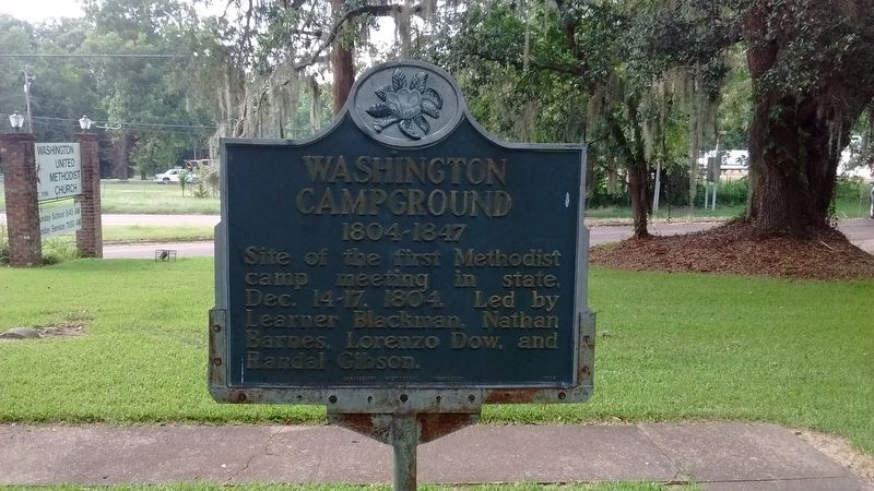
Photographed by Tom Bosse, July 2, 2017
1. Washington Campground Marker
Erected 1964 by Mississippi Historical Commission.
Topics and series. This historical marker is listed in this topic list: Religion & Religious Structures. In addition, it is included in the Mississippi State Historical Marker Program series list. A significant historical date for this entry is December 14, 1804.
Location. 31° 34.701′ N, 91° 18.138′ W. Marker is in Washington, Mississippi, in Adams County. It is at the intersection of U.S. 61 and Morgantown Road, on the left when traveling west on U.S. 61. Touch for map. Marker is at or near this postal address: 816 US-61, Washington MS 39190, United States of America. Touch for directions.

Regionally, this marker is in Southwest Mississippi and in Natchez Trace Corridor. It is also in the American South, specifically in the Deep South, and in the Great River Road Region. Globally, it is in North America, a Gulf of Mexico state, the Western Hemisphere, the Western World, and the Anglosphere. Historically, it finds itself in what was
this page online
Other nearby markers. At least 8 other markers are within walking distance of this marker: Dr. John W. Monette (about 600 feet away, measured in a direct line); Washington (about 700 feet away); Prince Ibrahima (about 700 feet away); Andrew Jackson at Washington (about 700 feet away); Jefferson Military College (about 800 feet away); The President's House (approx. 0.2 miles away); Site of Assembly Hall (approx. ¼ mile away); Clear Creek Baptist Church (approx. 0.4 miles away). Touch for a list and map of all markers in Washington.
Also see . . . Washington United Methodist Church History. (Submitted on July 19, 2017, by Tom Bosse of Jefferson City, Tennessee.)
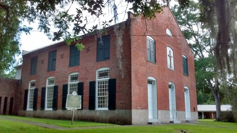
Photographed by Tom Bosse, July 2, 2017
2. Washington Campground Marker
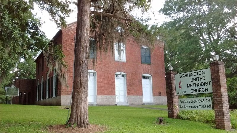
Photographed by Tom Bosse, July 2, 2017
3. Washington United Methodist Church
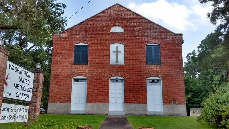
Photographed by Tom Bosse, July 2, 2017
4. Washington United Methodist Church
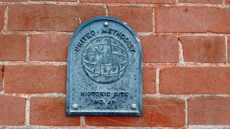
Photographed by Tom Bosse, July 2, 2017
5. United Methodist Historic Site No. 47
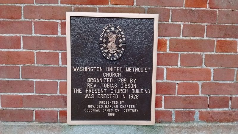
Photographed by Tom Bosse, July 2, 2017
6. Washington United Methodist Church
Credits. This page was last revised on July 26, 2019. It was originally submitted on July 19, 2017, by Tom Bosse of Jefferson City, Tennessee. This page has been viewed 487 times since then and 29 times this year. Photos: 1, 2, 3, 4, 5, 6. submitted on July 19, 2017, by Tom Bosse of Jefferson City, Tennessee. • Bernard Fisher was the editor who published this page.
