Marker Logo HMdb.org THE HISTORICAL
MARKER DATABASE
“Bite-Size Bits of Local, National, and Global History”
Southbridge in Worcester County, Massachusetts — The American Northeast (New England)
 

From Rail to Trail

The Grand Trunk and Southern New England


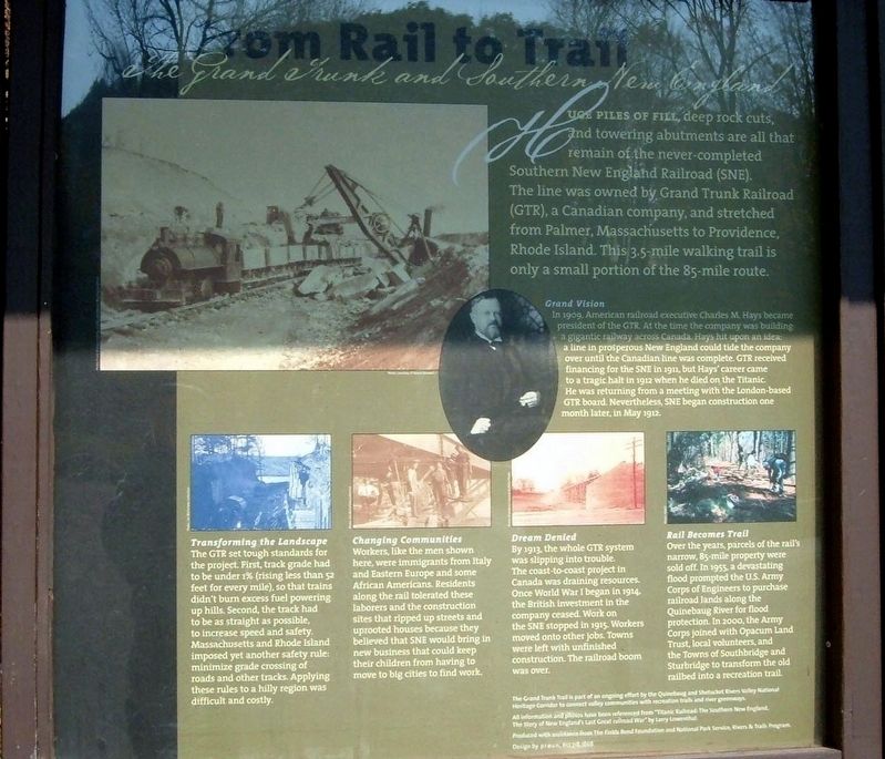
From Rail to Trail Marker image. Click for full size.
Photographed By Larry Gertner, October 2007
1. From Rail to Trail Marker
Inscription. Huge piles of fill, deep rock cuts, and towering abutments are all that remains of the never-completed Southern New England Railroad (SNE).

The line was owned by Grand Trunk Railroad (GTR). a Canadian company, and stretched from Palmer, Massachusetts to Providence, Rhode Island. This 3.5-mile walking trail is only a small portion of the 85-mile route.
 
Topics. This historical marker is listed in this topic list: Railroads & Streetcars. A significant historical year for this entry is 1909.
 
Location. 42° 4.447′ N, 72° 3.796′ W. Marker is in Southbridge, Massachusetts, in Worcester County. Marker can be reached from Grand Trunk Trail. The marker is along the Grand Trunk Trail in the Westfield Dam Recreation Area. Touch for map. Marker is in this post office area: Sturbridge MA 01566, United States of America. Touch for directions.
 
Other nearby markers. At least 8 other markers are within 2 miles of this marker, measured as the crow flies. William T. Kershaw (approx. 1.1 miles away); Felix Gatineau (approx. 1.3 miles away); Servant Square (approx. 1.4 miles away); Southbridge World War I Memorial (approx. 1˝ miles away); Southbridge Civil War Memorial (approx. 1˝ miles away); Southbridge 1898-1902 Veterans Monument (approx. 1˝ miles away); George Washington Memorial (approx. 1.6 miles away); Southbridge Veterans Monument (approx. 1.7 miles away). Touch for a list and map of all markers in Southbridge.
 
Also see . . .

Paid Advertisement
Click on the ad for more information.
Please report objectionable advertising to the Editor.
Click or scan to see
this page online
 Grand Trunk Railway. Wikipedia entry. (Submitted on April 13, 2020, by Larry Gertner of New York, New York.) 
 
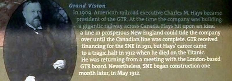
Insert 1 - Grand Vision image. Click for full size.
Photographed By Larry Gertner, October 2007
2. Insert 1 - Grand Vision
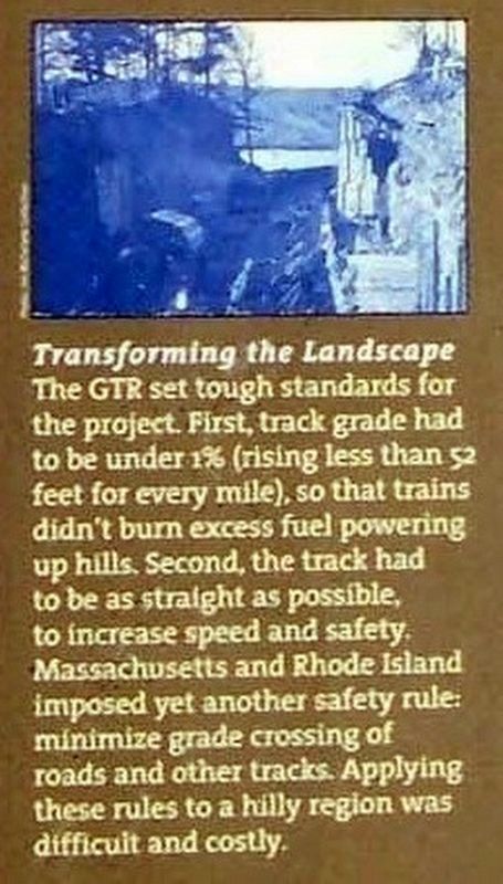
Insert 2 - Transforming the Landscape image. Click for full size.
Photographed By Larry Gertner, October 2007
3. Insert 2 - Transforming the Landscape
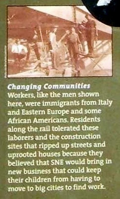
Insert 3 - Changing Communities image. Click for full size.
Photographed By Larry Gertner, October 2007
4. Insert 3 - Changing Communities
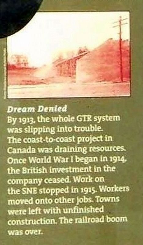
Insert 4 - Dream Denied image. Click for full size.
Photographed By Larry Gertner, October 2007
5. Insert 4 - Dream Denied
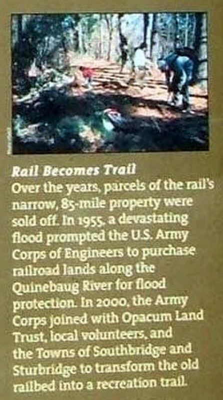
Insert - Rail Becomes Trail image. Click for full size.
Photographed By Larry Gertner, October 2007
6. Insert - Rail Becomes Trail
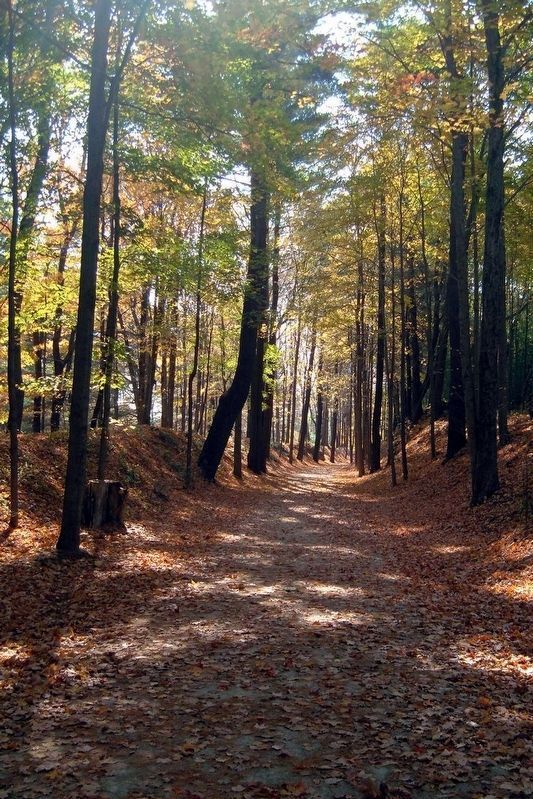
A section of the Grand Trunk Trail image. Click for full size.
Photographed By Larry Gertner, July 2007
7. A section of the Grand Trunk Trail
Wonk done for the SNERR are apparent.
 
 
Credits. This page was last revised on April 13, 2020. It was originally submitted on July 20, 2017, by Larry Gertner of New York, New York. This page has been viewed 290 times since then and 10 times this year. Photos:   1, 2, 3, 4, 5, 6. submitted on July 20, 2017, by Larry Gertner of New York, New York.   7. submitted on July 21, 2017, by Larry Gertner of New York, New York. • Bill Pfingsten was the editor who published this page.
Share this page.  
Share on Tumblr
m=105864

CeraNet Cloud Computing sponsors the Historical Marker Database.
This website earns income from purchases you make after using our links to Amazon.com. We appreciate your support.
Paid Advertisement
Apr. 25, 2024