Darien in McIntosh County, Georgia — The American South (South Atlantic)
Port of Darien
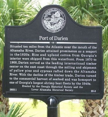
Situated ten miles from the Atlantic near the mouth of the Altamaha River, Darien attained prominence as a seaport in the 1820s. Rice and upland cotton from Georgia`s interior were shipped from the waterfront. From 1870 to 1900, Darien served as the leading international timber center on the east coast through the milling and shipment of yellow pine and cypress rafted down the Altamaha River. With the decline of the timber trade, Darien turned to the commercial harvest of seafood and was homeport to one of Georgia`s largest shrimp boat fleets by the 1940s
Erected 2003 by Georgia Historical Society and the Lower Altamaha Historical Society. (Marker Number 95-3.)
Topics and series. This historical marker is listed in these topic lists: Industry & Commerce • Notable Places • Settlements & Settlers. In addition, it is included in the Georgia Historical Society series list. A significant historical year for this entry is 1870.
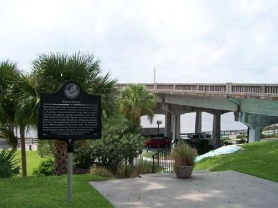
Location. 31° 22.09′ N, 81° 26.121′ W. Marker is in Darien, Georgia, in McIntosh County. Marker can be reached from Fort King George Drive (State Highway 25) near Ocean Highway (U.S. 17), on the right when traveling east. North-east corner of the Altamaha River Bridge. Touch for map. Marker is in this post office area: Darien GA 31305, United States of America. Touch for directions.
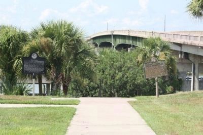
Other nearby markers. At least 8 other markers are within walking distance of this marker. Fort Darien (here, next to this marker); Fort King George (within shouting distance of this marker); Darien Waterfront (within shouting distance of this marker); The Burning of Darien (about 500 feet away, measured in a direct line); Methodists at Darien (about 600 feet away); McIntosh County (about 800 feet away); Oglethorpe Oak (about 800 feet away); Vernon Square (about 800 feet away). Touch for a list and map of all markers in Darien.
Also see . . . Darien. New Georgia Encyclopedia website entry (Submitted on August 22, 2008, by Mike Stroud of Bluffton, South Carolina.)
Credits. This page was last revised on October 10, 2021. It was originally submitted on August 22, 2008, by Mike Stroud of Bluffton, South Carolina. This page has been viewed 1,242 times since then and 32 times this year. Photos: 1, 2, 3. submitted on August 22, 2008, by Mike Stroud of Bluffton, South Carolina. 4. submitted on September 17, 2011, by Mike Stroud of Bluffton, South Carolina. • Kevin W. was the editor who published this page.


