Mid City North in Baton Rouge in East Baton Rouge Parish, Louisiana — The American South (West South Central)
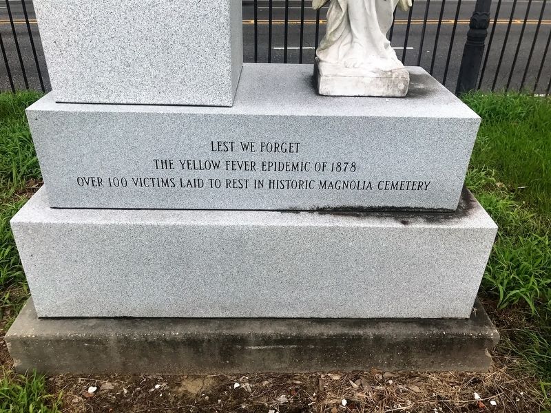
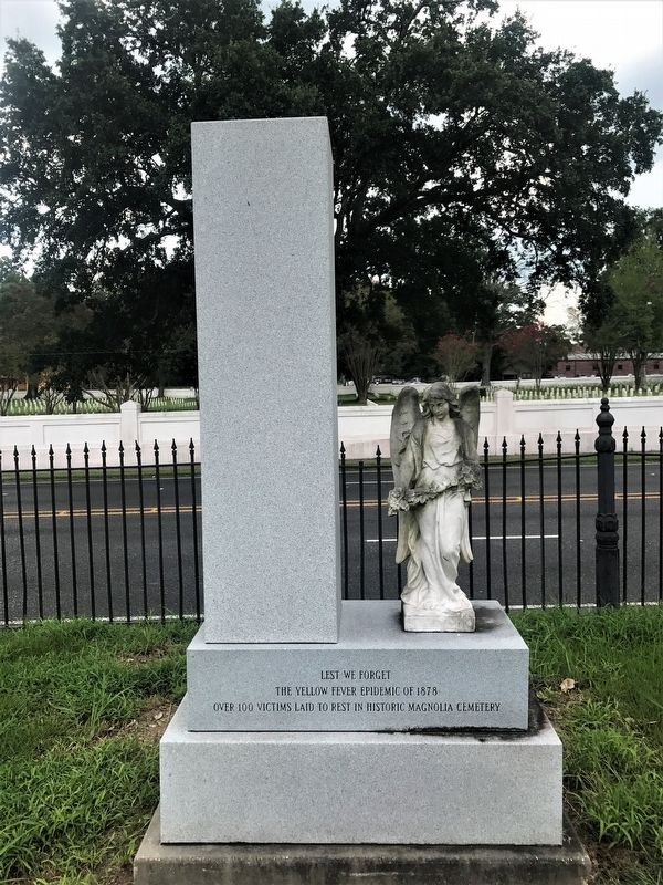
Yellow Fever Memorial
The Yellow Fever Epidemic of 1878
Over 1000 Victims Laid to Rest in Historic Magnolia Cemetery
Topics. This historical marker and memorial is listed in these topic lists: Cemeteries & Burial Sites • Disasters.
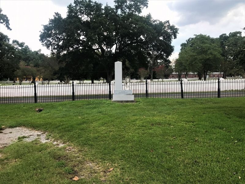
Location. 30° 27.002′ N, 91° 10.085′ W. Marker is in Baton Rouge, Louisiana, in East Baton Rouge Parish. It is in Mid City North. Marker is at the intersection of Florida Boulevard (Business U.S. 190) and North 19th Street, on the right when traveling west on Florida Boulevard. Touch for map. Marker is at or near this postal address: 422 North 19th Street, Baton Rouge LA 70802, United States of America. Touch for directions.
Other nearby markers. At least 8 other markers are within walking distance of this marker. Baton Rouge National Cemetery (about 300 feet away, measured in a direct line); Massachusetts Memorial (about 300 feet away); A National Cemetery System (about 400 feet away); Genl. Philemon Thomas (about 400 feet away); National Cemetery (about 400 feet away); Magnolia Cemetery (about 500 feet away); Civil War Battle of Baton Rouge (approx. 0.2 miles away); St. Joseph Catholic Cemetery (approx. 0.3 miles away). Touch for a list and map of all markers in Baton Rouge.
Credits. This page was last revised on March 2, 2024. It was originally submitted on July 21, 2017, by Cajun Scrambler of Assumption, Louisiana. This page has been viewed 302 times since then and 18 times this year. Photos: 1, 2, 3. submitted on July 21, 2017.


