Bar Harbor in Hancock County, Maine — The American Northeast (New England)
Bar Island
Bar Harbor, Maine
| — | The Museum in the Streets | — |
Photographed by Bill Coughlin, July 10, 2017
1. Bar Island Marker

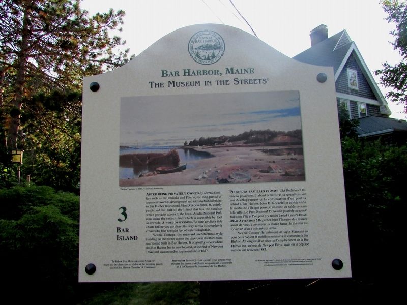
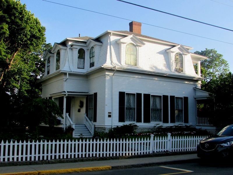
Veazie Cottage, the mansard architectural-style building on the corner across the street, was the third summer home built in Bar Harbor. It originally stood where the Bar Harbor Inn is now located, at the end of Newport Drive and was moved to its present site in 1887.
Erected 2013 by Museum in the Streets. (Marker Number 3.)
Topics and series. This historical marker is listed in this topic list: Notable Places. In addition, it is included in the The Museum in the Streets: Bar Harbor, Maine series list.
Location. 44° 23.436′ N, 68° 12.588′ W.
this page online

Regionally, this marker is on Mount Desert Island and in Downeast Maine. It is also in the American Northeast, in New England, and on the Eastern Seaboard. Globally, it is in the North Atlantic Region, North America, the Great North Woods, the Western Hemisphere, the Western World, and the Anglosphere. Historically, it finds itself in what was once the Viceroyalty of New France and also Acadia.
Other nearby markers. At least 8 other markers are within walking distance of this marker: The Kedge (within shouting distance of this marker); The Bar Harbor Club / La Club de Bar Harbor (within shouting distance of this marker); Bar Island Path (about 400 feet away, measured in a direct line); In Memory of Those Who Made the Supreme Sacrifice (about 600 feet away); Bar Harbor Municipal Building (about 700 feet away); United States Post Office (approx.
Photographed by Bill Coughlin, July 10, 2017
2. Bar Island Marker
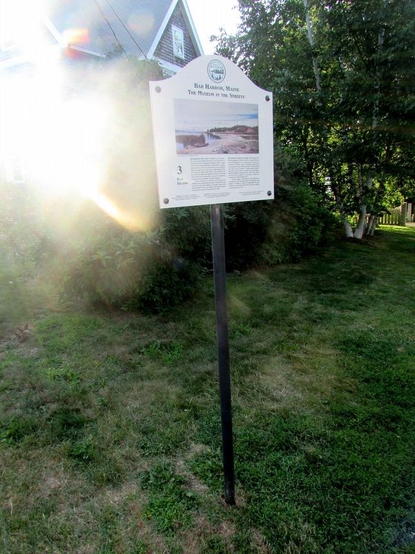
More about this marker. An 1883 painting by Maitland Armstrong of “The Bar” appears at the top of the marker.
Photographed by Bill Coughlin, July 10, 2017
3. Marker in Bar Harbor
Photographed by Bill Coughlin, July 10, 2017
4. The Veazie Cottage
This house mentioned on the marker is listed on the National Register of Historic Places.
Credits. This page was last revised on December 2, 2021. It was originally submitted on July 21, 2017, by Bill Coughlin of Woodland Park, New Jersey. This page has been viewed 979 times since then and 43 times this year. Photos: 1, 2, 3, 4. submitted on July 21, 2017, by Bill Coughlin of Woodland Park, New Jersey.
Editor’s want-list for this marker. Transcription of the French text. • Can you help?
