Bar Harbor in Hancock County, Maine — The American Northeast (New England)
The Kedge
1870
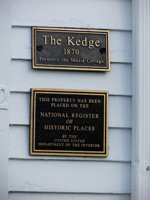
Photographed by Bill Coughlin, July 10, 2017
1. The Kedge Marker
< Lower Marker : >
This property has been
placed on the
National Register
of
Historic Places
by the
United States
Department of the Interior
Erected by US Department of the Interior.
Topics. This historical marker is listed in this topic list: Notable Buildings.
Location. 44° 23.422′ N, 68° 12.591′ W. Marker is in Bar Harbor, Maine, in Hancock County. It is at the intersection of West Street and Bridge Street, on the left when traveling west on West Street. Touch for map. Marker is in this post office area: Bar Harbor ME 04609, United States of America. Touch for directions.

Regionally, this marker is on Mount Desert Island and in Downeast Maine. It is also in the American Northeast, in New England, and on the Eastern Seaboard. Globally, it is in the North Atlantic Region, North America, the Great North Woods, the Western Hemisphere, the Western World, and the Anglosphere. Historically, it finds itself in what was once the Viceroyalty of New France and also Acadia.
Other nearby markers. At least 8 other markers are within walking distance
this page online
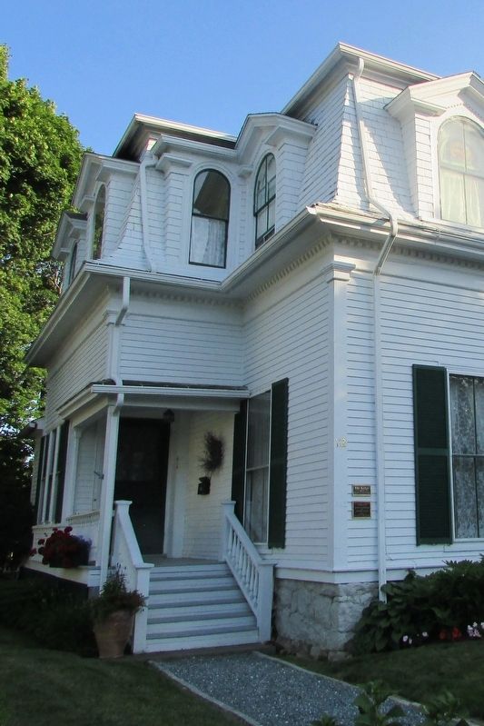
Photographed by Bill Coughlin, July 10, 2017
2. The Kedge Marker
The markers can be seen to the right of the steps.
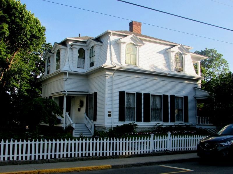
Photographed by Bill Coughlin, July 10, 2017
3. The Veazie Cottage
This mansard architectural-style house was the third summer home built in Bar Harbor. It originally stood at the end of Newport Drive and was moved to here in 1887.
Credits. This page was last revised on July 21, 2017. It was originally submitted on July 21, 2017, by Bill Coughlin of Woodland Park, New Jersey. This page has been viewed 740 times since then and 37 times this year. Photos: 1, 2, 3. submitted on July 21, 2017, by Bill Coughlin of Woodland Park, New Jersey.
