Central Business District in New Orleans in Orleans Parish, Louisiana — The American South (West South Central)
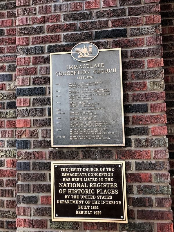
Immaculate Conception Church
(Jesuits')
Photographed by Cajun Scrambler, July 22, 2017
1. Immaculate Conception Church Marker
- 1700
Reconnoiters Future City
of New Orleans
1722
inspects region for French Crown
1723
First Superior of
local Jesuit Mission.
1763
expelled from Louisiana;
property confiscated.
1831
1848-50
to Common St. purchased.
1849
Conception opened.
1851
designed by Fr. John Cambiaso,S.J.,
in Hispano-Moresque style
1857
Feast of Mary's Assumption.
Serving people of New Orleans since.
1928-29
present structure in same style.
The Jesuit Church of the
Immaculate Conception
has been listed in the
National Register
of Historic Places
by the United States
Department of the Interior
Built 1851
Rebuilt 1929.
Erected by Archdiocesan Bicentennial Commission.
Topics. This historical marker is listed in this topic list: Religion & Religious Structures.
Location. 29° 57.22′ N, 90° 4.296′ W. Marker is in New Orleans, Louisiana,
this page online

Regionally, this marker is in one of Louisiana’s River Parishes. It is also in the American South, specifically in the Deep South, on the Gulf Coast, and in the Great River Road Region. Globally, it is in North America, a Gulf of Mexico state, the Western Hemisphere, the Western World, and the Anglosphere. Historically, it finds itself in what was once New Spain, the Viceroyalty of New France, the territory of the Mississippian Culture, the Louisiana Purchase, one of the Confederate States of America, and the Antebellum South.
Other nearby markers. At least 8 other markers are within walking distance of this marker: New Orleans Slave Depot (about 300 feet away, measured in a direct line); Canal Street Milestones (about 300 feet away); Sears Building (about 300 feet away); Canal Street Under the Americans (1803) (about 300 feet
Photographed by Cajun Scrambler, July 22, 2017
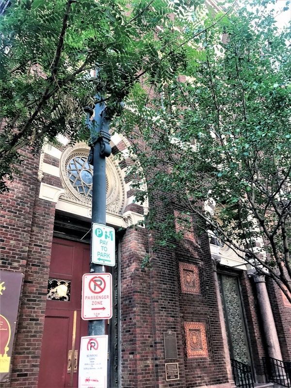
2. Immaculate Conception Church Marker
July 22, 2017
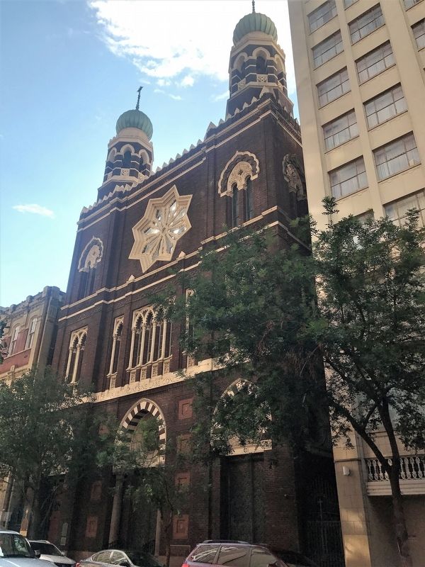
3. Immaculate Conception Church
Credits. This page was last revised on February 12, 2023. It was originally submitted on July 22, 2017, by Cajun Scrambler of Assumption, Louisiana. This page has been viewed 695 times since then and 97 times this year. Photos: 1, 2. submitted on July 22, 2017, by Cajun Scrambler of Assumption, Louisiana. 3. submitted on July 22, 2017.
