Sault Ste. Marie in Algoma District, Ontario — Central Canada (North America)
Precious Blood Cathedral
Photographed by Kevin Craft, July 4, 2017
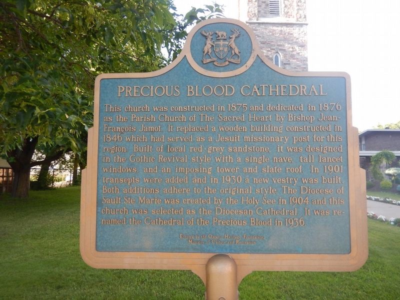
1. Precious Blood Cathedral Marker
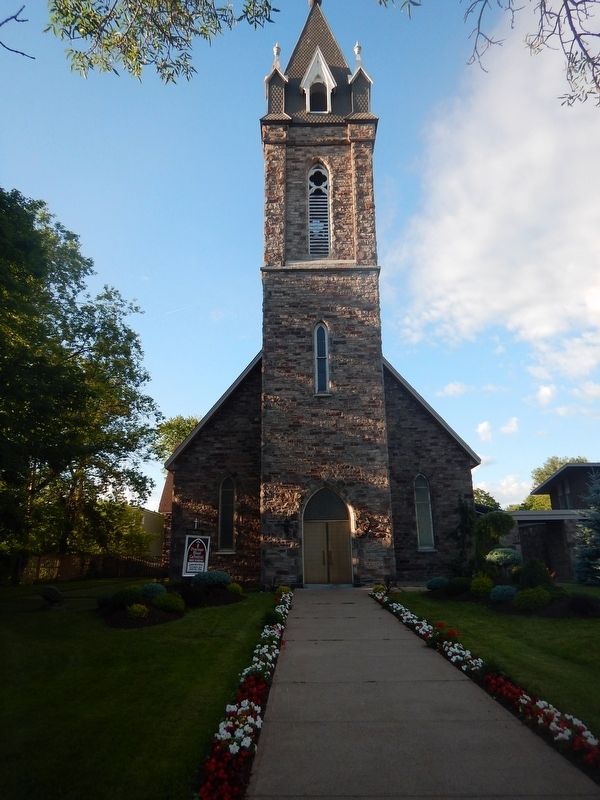
This church was constructed in 1875 and dedicated in 1876 as the Parish Church of The Sacred Heart by Bishop Jean-Francois Jamot. It replaced a wooden building constructed in 1846 which had served as a Jesuit missionary post for this region. Built of local red-gray sandstone, it was designed in the Gothic Revival style with a single nave, tall lancet windows, and an imposing tower and slate roof. In 1901 transepts were added and in 1930 a new vestry was built. Both additions adhere to the original style. The Diocese of Sault Ste. Marie was created by the Holy See in 1904 and this church was selected as the Diocesan Cathedral. It was renamed the Cathedral of the Precious Blood in 1936.
Erected by Ontario Heritage Foundation.
Topics and series. This historical marker is listed in this topic list: Religion & Religious Structures. In addition, it is included in the Canada, Ontario Heritage Trust series list. A significant historical year for this entry is 1875.
Location. 46° 30.434′ N, 84° 19.57′ W. Marker is in Sault Ste. Marie, Ontario, in Algoma District. It is on Queen Street East 0.2 kilometers west of Pim Street, on
this page online

Regionally, this marker is in the Sault Ste. Marie and Algoma Area and in Northern Ontario. It is also in Central Canada. Globally, it is in North America, in the Great North Woods, on the Great Lakes, on Lake Superior’s North Shore, in the Western Hemisphere, in the Western World, and in the Anglosphere. Historically, it finds itself in what was once a British colony, the Viceroyalty of New France, the Haudenosaunee (Iroquois) Confederacy, and Rupert’s Land.
Other nearby markers. At least 8 other markers are within walking distance of this marker: Ermatinger Old Stone House (about 150 meters away, measured in a direct line); Clergue Blockhouse (about 150 meters away); Herbs in the 19th Century (about 150 meters away); Post Office (about 150 meters away); Ermatinger House (about 180 meters away); The Three Sisters Garden (about 180 meters away); Blossoms and Berries (about 180 meters away); Sacred Mountain Ash Tree (about 210 meters away). Touch for a list and map
Photographed by Kevin Craft, July 4, 2017
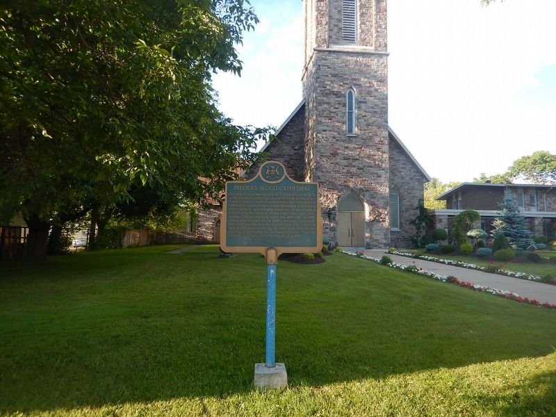
2. Wideview of Precious Blood Cathedral Marker
Also see . . . Wikipedia - Precious Blood Cathedral. (Submitted on July 23, 2017, by Kevin Craft of Bedford, Quebec.)
Photographed by Kevin Craft, July 4, 2017
3. Precious Blood Cathedral
Credits. This page was last revised on July 23, 2017. It was originally submitted on July 23, 2017, by Kevin Craft of Bedford, Quebec. This page has been viewed 377 times since then and 42 times this year. Photos: 1, 2, 3. submitted on July 23, 2017, by Kevin Craft of Bedford, Quebec.
