Near Georgetown in El Dorado County, California — The American West (Pacific Coastal)
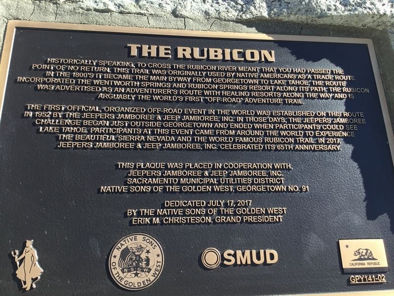
The Rubicon
The first official, organized off-road event in the world was established on this route in 1952 by the Jeepers Jamboree & Jeep Jamboree, Inc. In those days, the Jeepers Jamboree challenge began just outside Georgetown and ended when participants could see Lake Tahoe. Participants at this event came from around the world to experience the beautiful Sierra Nevada and the world famous Rubicon Trail. In 2017, Jeepers Jamboree & Jeep Jamboree, Inc. celebrated its 65th Anniversary.
Erected 2017 by Jeepers Jamboree & Jeep Jamboree, Inc., Sacramento Municipal Utilities District and The Native Sons of the Golden West, Georgetown No. 91. (Marker Number GPY 141-02.)
Topics and series. This historical marker is listed in this topic list: Roads & Vehicles. In addition, it is included in the Native Sons/Daughters of the Golden West series list. A significant historical year for this entry is 1952.
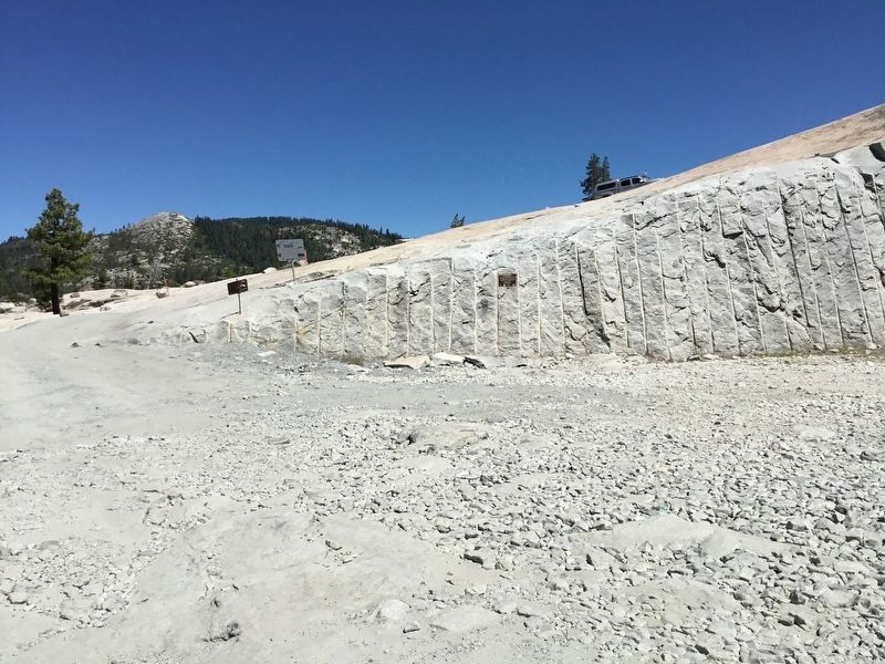
Location. 39° 0.215′ N, 120° 18.752′ W. Marker is near Georgetown, California, in El Dorado County. Marker is on The Rubicon Trail, on the right when traveling east. This marker is mounted to the side of the Loon Lake spillway, near the bottom, near where, and visible from the Rubicon Trail. Touch for map. Marker is in this post office area: Georgetown CA 95634, United States of America. Touch for directions.
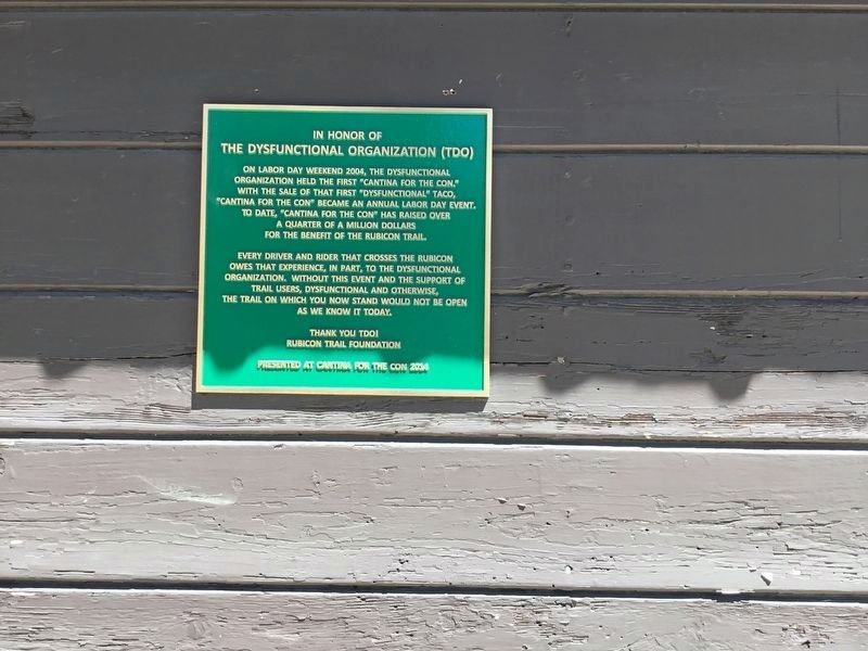
Other nearby markers. At least 8 other markers are within 15 miles of this marker, measured as the crow flies. The Dysfunctional Organization (TDO) (within shouting distance of this marker); Pine Lodge-Erhman Mansion (approx. 11.2 miles away); Placer County Emigrant Road (approx. 13 miles away); Pioneer Ski Area of America (approx. 14 miles away); Allexey W Von Schmidt (approx. 14.1 miles away); Lake Tahoe Railway and Transportation Co. (approx. 14.1 miles away); The Sacred Lake (approx. 14˝ miles away); A Safe Harbor (approx. 14˝ miles away).
More about this marker. The marker is actually nearer Lake Tahoe but you generally get here by way of Georgetown. It also can be reached from Hwy 50 (east of Placerville) via Sly Park Road.
Regarding The Rubicon.
The full Rubicon Trail is only accessible with a 4-wheel drive vehicle and the trail can be very challenging in places.
Credits. This page was last revised on July 24, 2017. It was originally submitted on July 23, 2017, by James King of San Miguel, California. This page has been viewed 819 times since then and 276 times this year. Photos: 1, 2, 3, 4. submitted on July 23, 2017, by James King of San Miguel, California. • Syd Whittle was the editor who published this page.


