Crystal Falls in Iron County, Michigan — The American Midwest (Great Lakes)
Iron County
Registered Michigan Historic Site
Photographed by Paul Fehrenbach, May 11, 2017
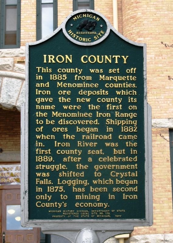
1. Iron County Marker
east side of two sided marker
This county was set off in 1885 from Marquette and Menominee counties. Iron ore deposits which gave the new county its name were the first on the Menominee Iron Range to be discovered. Shipping of ores began in 1882 when the railroad came in. Iron River was the first county seat, but in 1889, after a celebrated struggle, the government was shifted to Crystal Falls. Logging, which began in 1875, has been second only to mining in Iron County’s economy.
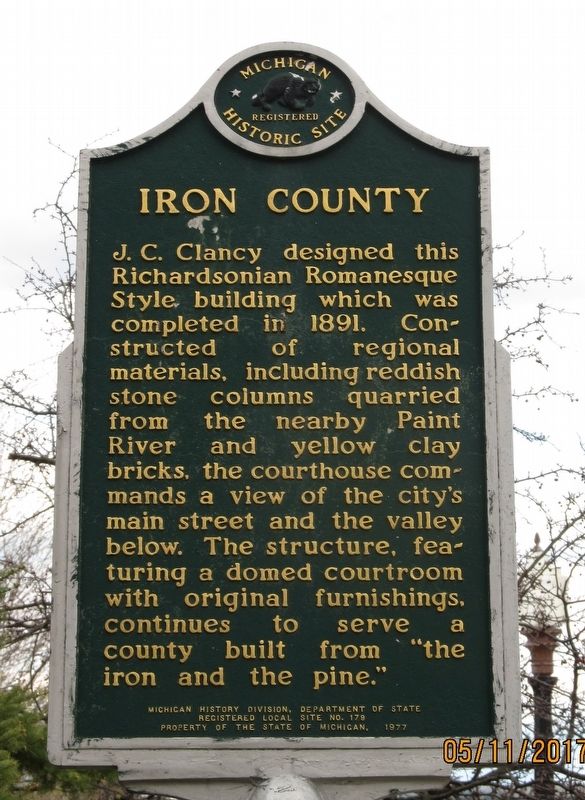
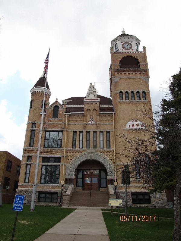
J.C. Clancy designed this Richardsonian Romanesque Style building which was completed in 1891. Constructed of regional materials, including reddish stone columns quarried from the nearby Paint River and yellow clay bricks, the courthouse commands a view of the city’s main street and the valley below. The structure, featuring a domed courtroom with original furnishings, continues to serve a county built from “the iron and the pine.”
Erected 1977 by Michigan History Division, Department of State. (Marker Number L0179.)
Topics and series. This historical marker is listed in this topic list: Architecture. In addition, it is included in the Michigan Historical Commission
this page online
Location. 46° 5.807′ N, 88° 20.103′ W. Marker is in Crystal Falls, Michigan, in Iron County. It is at the intersection of South 6th Street and Superior Avenue, on the right when traveling south on South 6th Street. Touch for map. Marker is at or near this postal address: 2 S 6th St, Crystal Falls MI 49920, United States of America. Touch for directions.

Regionally, this marker is on the Upper Peninsula. It is also in the American Midwest. Globally, it is in North America, the Great North Woods, the Western Hemisphere, the Western World, and the Anglosphere. Historically, it finds itself in what was once the Northwest Territory.
Other nearby markers. At least 7 other markers are within 13 miles of this marker, measured as the crow flies: Iron County Courthouse (here, next to this marker); Finnish Pioneers (a few steps from this marker); July 4th 1661 (approx. 5.4 miles away); Indian Village (approx. 9.1 miles away); Pentoga Park (approx. 9.1 miles away); Florence Town Hall (approx. 12.7 miles away in Wisconsin); Florence County Courthouse and Former Jail (approx.
Photographed by Paul Fehrenbach, May 11, 2017
2. Iron County Marker
west side of two sided marker
Additional keywords. County Courthouse
Photographed by Paul Fehrenbach, May 11, 2017
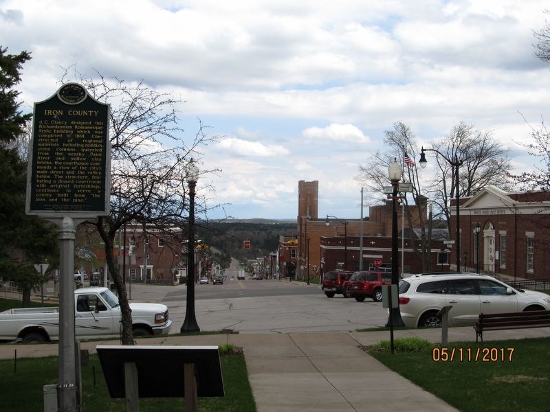
3. Iron County Marker
looking east down Superior Street
Photographed by Paul Fehrenbach, May 11, 2017
4. Iron County Courthouse
Credits. This page was last revised on March 13, 2021. It was originally submitted on July 24, 2017, by Paul Fehrenbach of Richfield, Wisconsin. This page has been viewed 448 times since then and 24 times this year. Photos: 1, 2, 3, 4. submitted on July 24, 2017, by Paul Fehrenbach of Richfield, Wisconsin. • Bill Pfingsten was the editor who published this page.
