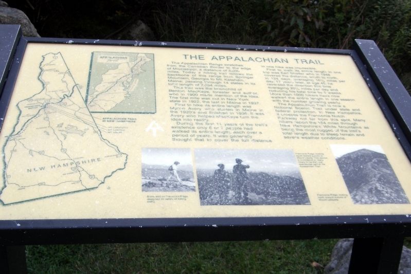
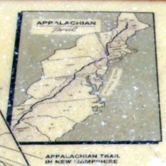
The Appalachian Trail
This trail was the brainchild of Barton MacKaye, forester and author, who in 1900 made mention of the idea. The first mile was cut in New York state in 1922, the last in Maine in 1937.<
First to hike its entire length was Myron Avery who started in Maine in the 1920’s and finished in 1936. It was Avery who helped MacKaye turn the idea into reality. During the first 11 years of the trail’s existence only 6 or 7 people had walked its entire length, each over a period of years. It was generally thought that to cover the full distance in one hike was impossible.
First to walk its entire length in on trip was Earl Shaffer, who in 1948 covered the distance, south to north, in 124 days. averaging 16 ½ mile per day. 17 years later, at age 46, he reversed the direction this time averaging 20 ½ miles per day and reducing his total time by 5 weeks. More than 1000 hikers have now walked the entire length in one season with the number growing yearly.
The Appalachian Trail is now a National Scenic Trail under state and federal protection.
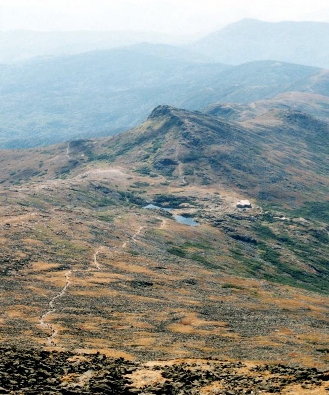
In New Hampshire, it crosses the Franconia Notch Parkway not far from this spot. Many hikers report the 154 miles through New Hampshire’s White Mountains as being the most rugged of the trail’s total length due to steep terrain and severe weather conditions.Topics. This historical marker is listed in this topic list: Landmarks.
Location. 44° 10.017′ N, 71° 40.883′ W. Marker is in Franconia, New Hampshire, in Grafton County. Marker can be reached from Styles Bridges Highway (U.S. 93). The marker is in the Old Man of the Mountain Historic Site in Franconia Notch State Park. Touch for map. Marker is in this post office area: Franconia NH 03580, United States of America. Touch for directions.
Other nearby markers. At least 8 other markers are within walking distance of this marker. The Cannon on the Skyline (about 400 feet away, measured in a direct line); Niels F.F. Nielsen, Jr. (about 400 feet away); Why is it called A NOTCH? (about 800 feet away); Franconia Notch (about 800 feet away); The Old Man of the Mountain (about 800 feet away); A Delicate Balance (about 800 feet away); Profile Lake (about 800 feet away); Landslides (about 800 feet away). Touch for a list and map of all markers in Franconia.
Also see . . . Appalachian Trail. Wikipedia entry. (Submitted on April 14, 2020, by Larry Gertner of New York, New York.)
Credits. This page was last revised on April 14, 2020. It was originally submitted on July 25, 2017, by Larry Gertner of New York, New York. This page has been viewed 159 times since then and 6 times this year. Photos: 1, 2, 3, 4. submitted on July 25, 2017, by Larry Gertner of New York, New York. • Bill Pfingsten was the editor who published this page.


