Natchitoches in Natchitoches Parish, Louisiana — The American South (West South Central)
The American Transition
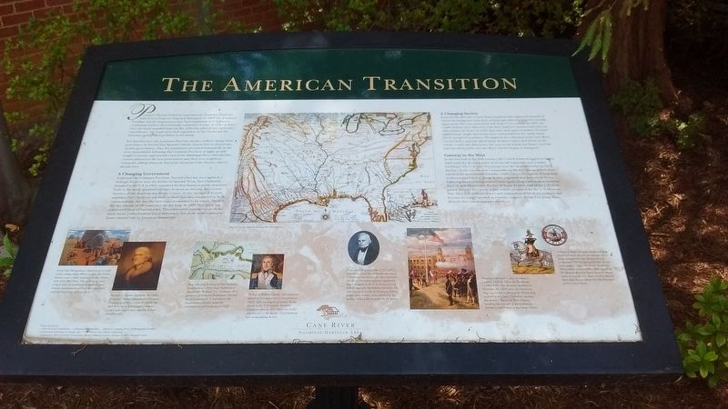
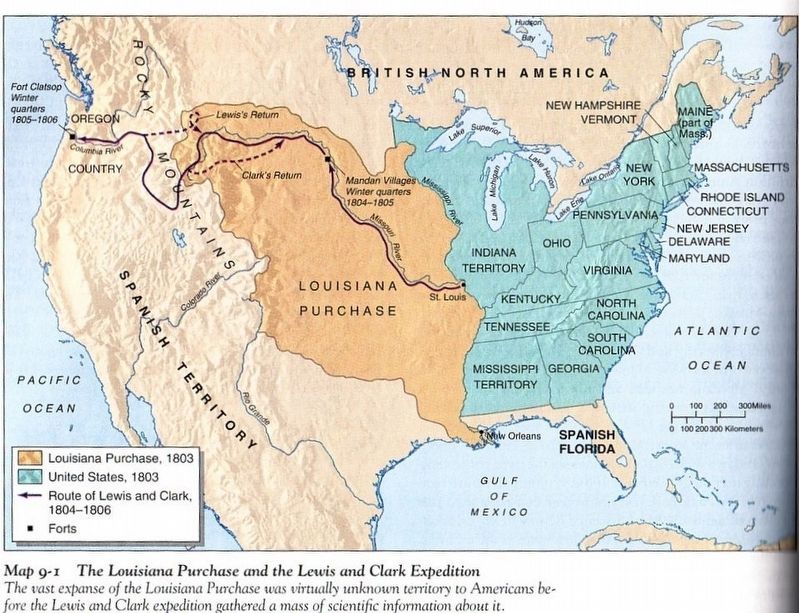
For Natchitoches, the Louisiana Purchase meant a radical change from governance by French and Spanish Catholic monarchies to democratic, secular government. Also, the population increased dramatically in the years immediately following the Louisiana Purchase as many people sought economic opportunities west of the Mississippi River. Natchitoches citizens adapted to the new government and their new neighbors, eventually adding distinctly American elements to the diverse cultures already here.
A Changing Government
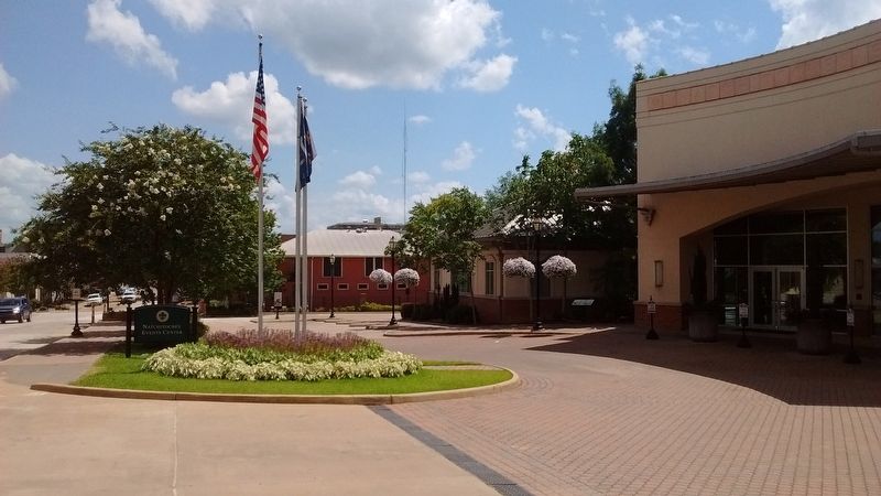
Following the Louisiana Purchase, Natchitoches was once again in a strategic location near the border of Spanish Texas. Fort Claiborne, founded by the U.S. in 1804, contained the first American public structures built in the newly acquired territory. It stood on this site, the current location of the Natchitoches Events Center. To the outrage of French residents, Fort Claiborne was built on land that they considered to be in communal use, but that the Americans considered to be empty. The fort did not remain on the contested site for long. In 1822, Fort Jesup was constructed west of Natchitoches. This controversy represents one of the many social, cultural and political differences that arose in the transition from colonial rule to American democracy.
A Changing Society
Immediately after the United States acquired this region, thousands of American immigrants came here seeking agricultural land and economic opportunity. Not everyone fared well under U.S. control. In 1835, the Caddo Indians were forced to cede their land in Louisiana and relocate with relatives in Texas. In 1859, they relocated again to Indian Territory [Oklahoma]. Anglo Americans were confounded by the multi-ethnic Creole people in Louisiana. Throughout the colonial period, Cane River Creoles held a separate social status between whites and blacks in the colony. Under the Americans, the new social system was binary, and the separate social status of Cane River Creoles began to disappear.
Gateway to the West
In the first half of the 19th-centory, the United States struggled to define itself amid the growing pains of territorial expansion and frontier hardships. The U.S. built Fort Jesup near the Spanish border in 1822. Zachary Taylor was the first commander of the fort that guarded what was then the westernmost boundary of the nation. Thousands of American settlers stopped at Fort Jesup as they migrated west to settle Texas. Following Mexican independence from Spain, disagreement arose between the U.S. and Mexico over the fate of Texas. In 1845, half of the U.S. Army passed through Fort Jesup as the country prepared for the U.S.–Mexican War. After U.S. military victory and annexation of Mexican territory, the fort was no longer needed as a border outpost. Today Fort Jessup State Historic Site commemorates this story.
(Picture captions from left to right)
Artist Nola Montgomery’s depiction of an early Caddo village, about 900 years ago. The Caddo Indians were a small, sedentary hunter / farmer tribe of the Red River. The melding of their culture with the traditions of Spanish and French settlers became part of the distinctive cultural landscape of the Cane River.
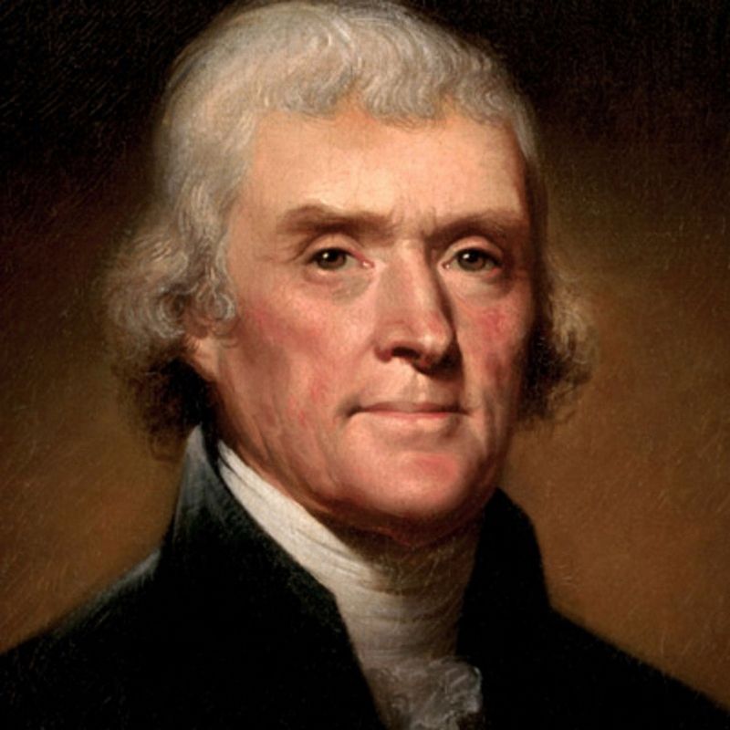
Portrait of Thomas Jefferson. In 1806, President Thomas Jefferson sent Thomas Freeman and Peter Custis to explore the Red River to its headwaters. Freeman and Custis staged their expedition from Natchitoches.
Map of North American during the colonial era.
Map detailing location of Fort Claiborne. Established in 1804, Fort Claiborne is named after William C. C. Claiborne, then governor of territorial Louisiana. The fort served to protect U.S. interests in the Southwestern frontier until the establishment of Fort Jesup in 1822.
Portrait of William Charles Cole Claiborne, elected as first governor of Louisiana in 1812. After serving as governor, he was elected to the U.S. Senate. However, Claiborne died in 1817 before he could take his seat in the Senate. Fort Claiborne was named in his honor.
Portrait of Dr. John Sibley (1757 – 1887), a physician from Massachusetts who moved to Natchitoches shortly after the Louisiana Purchase. President Jefferson appointed him a surgeon to the U.S. Army and an Indian agent for the Orleans territory. He later served as justice of the peace, district judge, state senator, and captain of the militia. Sibley Lake is named in his honor.
Hoisting the Colors, Louisiana Cession, 1803 by Thure de Thulstrup (1848 – 1930). The dramatic moment on December 20, 1803 when the American flag was raised in place of the French flag in front of St. Louis Cathedral, modern day Jackson Square in New Orleans, marking the transfer of the Louisiana Territory from France to the United States.
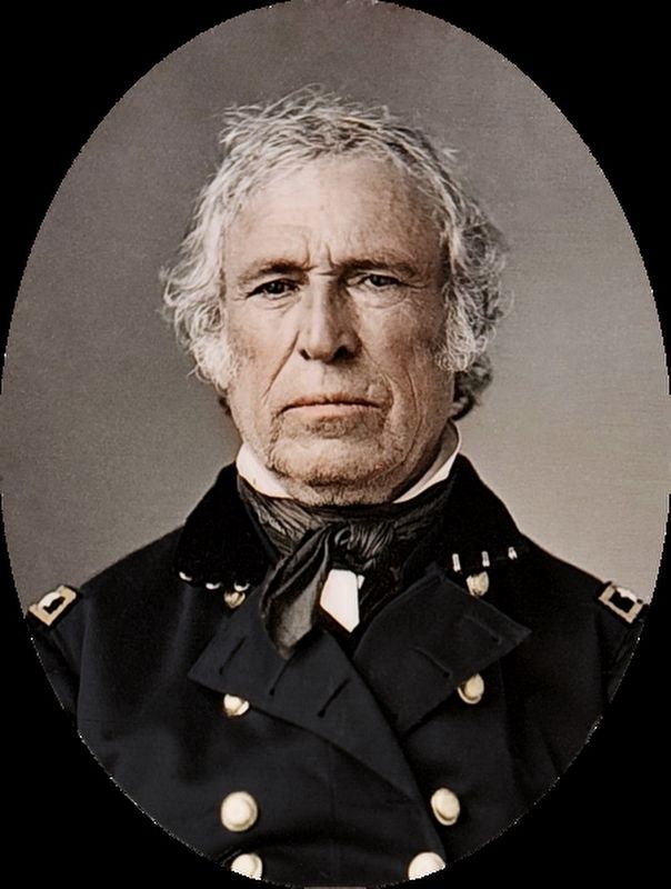
Portrait of Major General Zachary Taylor. Taylor served as the first commander of Fort Jesup near present day Many and was nicknamed “Old Rough and Ready” for his willingness to share his troops’ hardships. He became a national hero after defeating the Mexican General Santa Anna at Buena Vista during the U.S. – Mexican War. Shortly there after, he was elected the 12th President of the United States.
Topics and series. This historical marker is listed in these topic lists: Exploration • Forts and Castles • Settlements & Settlers • War, Mexican-American. In addition, it is included in the Former U.S. Presidents: #03 Thomas Jefferson, the Former U.S. Presidents: #12 Zachary Taylor, and the Lewis & Clark Expedition series lists. A significant historical year for this entry is 1803.
Location. 31° 45.773′ N, 93° 5.274′ W. Marker is in Natchitoches, Louisiana, in Natchitoches Parish. Marker is at the intersection of 2nd Street and Sibley Street, on the left when traveling north on 2nd Street. Marker located in front of the Natchitoches Events Center. Touch for map. Marker is at or near this postal address: 750 2nd St, Natchitoches LA 71457, United States of America. Touch for directions.
Other nearby markers. At least 8 other markers are within walking distance of this marker. Site of Fort Claiborne (within shouting distance of this marker); Ducournau Building (about 600 feet away, measured in a direct line); Basilica of the Immaculate Conception (about 600 feet away); The Natchitoches Parish Old Courthouse (about 600 feet away); The Old Natchitoches Parish Courthouse (about 600 feet away); First Mass in Natchitoches (about 700 feet away); El Camino Real (about 700 feet away); Natchitoches Historic District (about 700 feet away). Touch for a list and map of all markers in Natchitoches.
Credits. This page was last revised on May 25, 2021. It was originally submitted on July 25, 2017, by Tom Bosse of Jefferson City, Tennessee. This page has been viewed 491 times since then and 46 times this year. Photos: 1, 2. submitted on July 25, 2017, by Tom Bosse of Jefferson City, Tennessee. 3, 4, 5. submitted on July 25, 2017. • Bernard Fisher was the editor who published this page.
