Near Many in Sabine Parish, Louisiana — The American South (West South Central)
Fort Jesup
Photographed by Tom Bosse, July 4, 2017
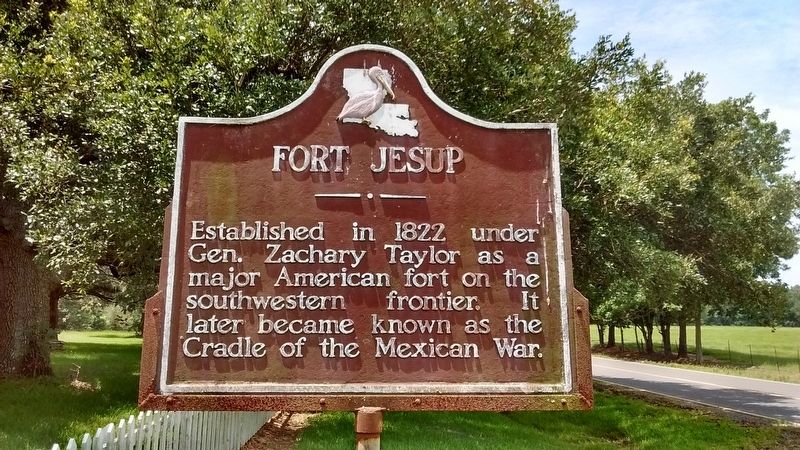
1. Fort Jesup Marker
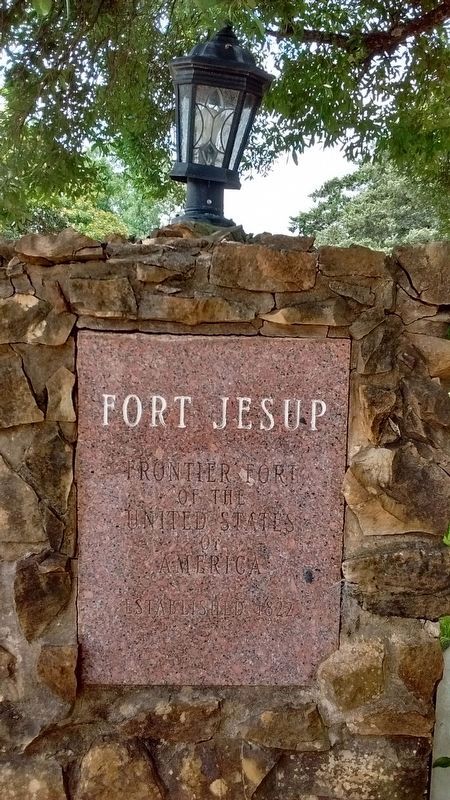
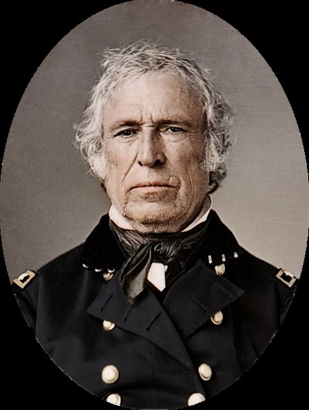
Established in 1822 under Gen. Zachary Taylor as a major American fort on the southwestern frontier. It later became known as the Cradle of the Mexican War.
Topics and series. This historical marker is listed in these topic lists: Forts and Castles • War, Mexican-American. In addition, it is included in the Former U.S. Presidents: #12 Zachary Taylor series list. A significant historical year for this entry is 1822.
Location. 31° 36.752′ N, 93° 24.155′ W. Marker is near Many, Louisiana, in Sabine Parish. It is at the intersection of Old Louisiana 6 (State Highway 3118) and Geoghangan Road, on the right when traveling north on Old Louisiana 6. Marker located at Fort Jesup State Historic Site. Touch for map. Marker is in this post office area: Many LA 71449, United States of America. Touch for directions.

Regionally, this marker is in Central Louisiana. It is also in the American South, specifically in the Deep South, and in the Piney Woods. Globally, it is in North America, a Gulf of Mexico state, the Western Hemisphere, the Western World, and the Anglosphere. Historically, it finds itself in what was once
this page online
Other nearby markers. At least 8 other markers are within 6 miles of this marker, measured as the crow flies: El Camino Real (within shouting distance of this marker); Sabine High School (approx. 5.1 miles away); St. John the Baptist Catholic Church (approx. 5½ miles away); The Sabine Index (approx. 5.6 miles away); Baldwin's Store (approx. 5.6 miles away); Duty • Honor • Country (approx. 5.6 miles away); First Lieutenant Floyd J. Giblin (approx. 5.8 miles away); Kansas City Southern Railway Depot (approx. 5.9 miles away). Touch for a list and map of all markers in Many.
Also see . . .
1. Fort Jesup. Wikipedia entry (Submitted on April 8, 2023, by Larry Gertner of New York, New York.)
2. Mexican–American War. Wikipedia entry (Submitted on April 8, 2023, by Larry Gertner of New York, New York.)
Photographed by Tom Bosse, July 4, 2017
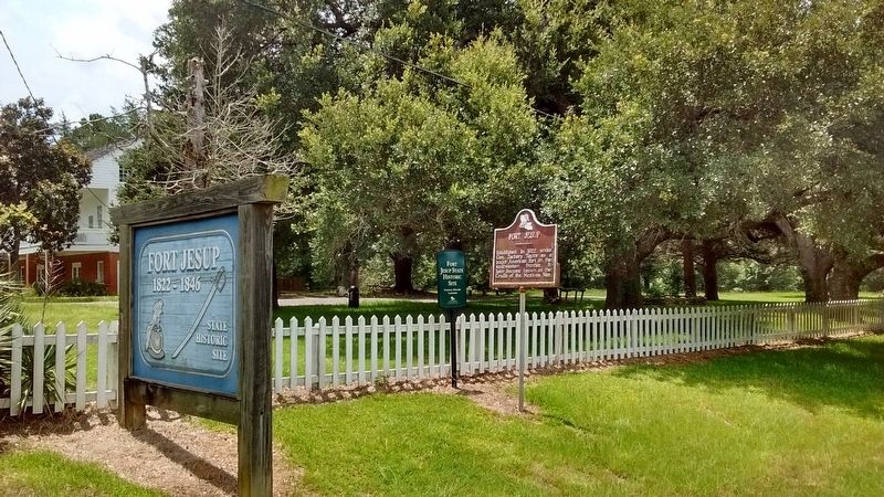
2. Fort Jesup Marker
Photographed by Tom Bosse, July 4, 2017
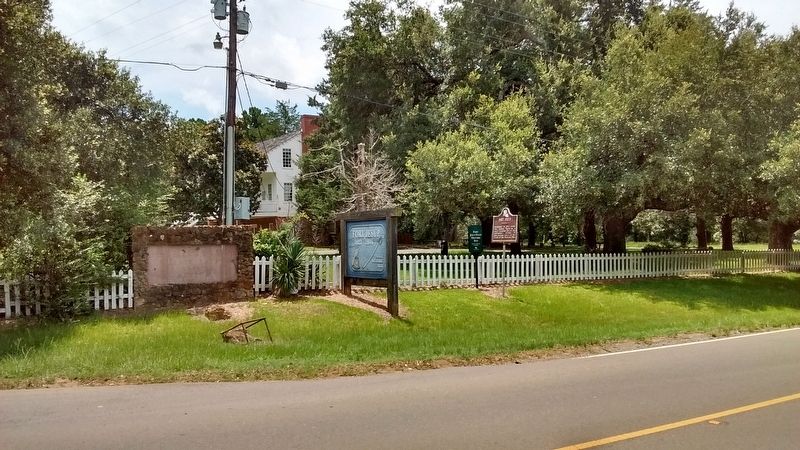
3. Fort Jesup Marker
Photographed by Tom Bosse, July 4, 2017
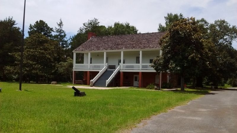
4. Fort Jesup
Photographed by Tom Bosse, July 4, 2017
5. Fort Jesup
Frontier fort of the United States of America, Established 1822
Photographed by Tom Bosse
6. Zachary Taylor
Credits. This page was last revised on April 8, 2023. It was originally submitted on July 26, 2017, by Tom Bosse of Jefferson City, Tennessee. This page has been viewed 766 times since then and 58 times this year. Photos: 1, 2, 3, 4, 5, 6. submitted on July 26, 2017, by Tom Bosse of Jefferson City, Tennessee. • Bernard Fisher was the editor who published this page.
