Near Cone in Crosby County, Texas — The American South (West South Central)
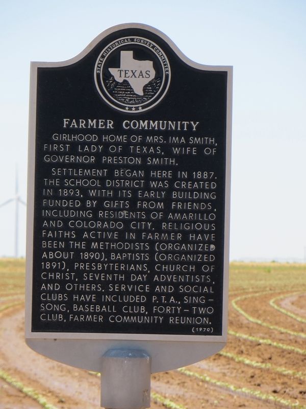
Farmer Community
Settlement began here in 1887. The school district was created in 1893, with its early building funded by gifts from friends, including residents of Amarillo and Colorado City. Religious faiths active in Farmer have been the Methodists (organized about 1890), Baptists (organized 1891), Presbyterians, Church of Christ, Seventh Day Adventists, and others. Service and social clubs have included P.T.A., Singsong, baseball club, Forty-two Club, Farmer Community Reunion.
Erected 1970 by State Historical Survey Committee. (Marker Number 1571.)
Topics. This historical marker is listed in this topic list: Settlements & Settlers. A significant historical year for this entry is 1887.
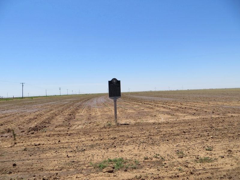
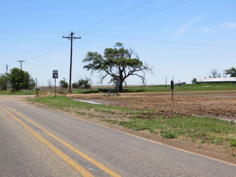
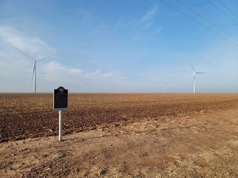
Location. 33° 47.009′ N, 101° 27.457′ W. Marker is near Cone, Texas, in Crosby County. Marker is on Farm to Market Road 193, 4 miles west of U.S. 62, on the left when traveling west. Touch for map. Marker is in this post office area: Ralls TX 79357, United States of America. Touch for directions.
Other nearby markers. At least 8 other markers are within 9 miles of this marker, measured as the crow flies. Cone Cemetery (approx. 2.2 miles away); Village of Cone (approx. 4.1 miles away); Site of Estacado (approx. 6.4 miles away); Estacado Cemetery (approx. 7.2 miles away); Lorenzo Cemetery (approx. 7.6 miles away); Ralls Cemetery (approx. 8.3 miles away); John R. Ralls Building (approx. 8.4 miles away); City of Ralls (approx. 8.4 miles away). Touch for a list and map of all markers in Cone.
Credits. This page was last revised on March 14, 2021. It was originally submitted on July 26, 2017, by Bill Kirchner of Tucson, Arizona. This page has been viewed 323 times since then and 16 times this year. Photos: 1, 2, 3. submitted on July 26, 2017, by Bill Kirchner of Tucson, Arizona. 4. submitted on March 14, 2021, by Allen Lowrey of Amarillo, Texas.


