Political Life
A Colourful Past
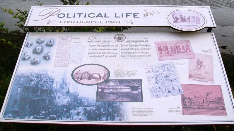
During its early development Yarmouth was a part of Queens County and reported to the administrative seat in Liverpool. After 1784 Shelburne became the county town for Yarmouth. More local control was achieved with the formation of Yarmouth County in 1836. The Town of Yarmouth was incorporated in 1890.
An important and colourful era in Yarmouth's political life occurred during the debates leading up to the joining of Canadian colonies in a federal form of government based on the British parliamentary system in 1867. Confederation was based on a strong central government with specific powers delegated to the provinces. Yarmouth people and the politicians were opposed to Confederation by a wide margin. With a long tradition of working independently beyond colonial boundaries, many people of Yarmouth were convinced of their ability to further their prosperity under the status quo. Anti-confederates included a significant group of people who opposed the process adopted to achieve Confederation, if not the idea of Confederation.
[Photo captions, from left to right, read]
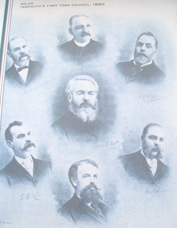
• Yarmouth's First Town Council, 1890
• Yarmouth Herald July 4, 1867
• Yarmouth Herald September 25, 1867
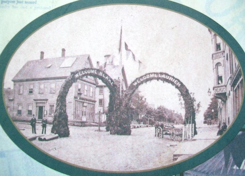
• Hon. Edward Blake and Wilfrid Laurier, later to become Prime Minister of Canada (1896-1911), arrived in
Yarmouth by train on August 17, 1881 for a political event in support of the Liberal Party. They addressed a crowd estimated at 3,500 people at the Yarmouth rink the next day. The following week, Sir S. Leonard Tilley, a New Brunswick Father of Confederation; Thomas White, Member of Parliament; and Senator Boyd addressed a large rally for the Conservative Party at the rink.• Main Street, Yarmouth decorated for the visit of Canada's Governor General Lord Aberdeen and Lady Aberdeen, August, 1894. "The town was most profusely dressed in bunting, arches and other decorations spanned the streets, bells were rung and the town was thronged with visitors." J. Murray Lawson Yarmouth Past and Present (Yarmouth, 1902) Page 640
• A cartoonist's view of provincial politics in Nova Scotia in the 1930s.
• A political cartoon from the Confederation Era. The cartoonist is anti-confederate. This was the majority view of Yarmouth citizens.
• The completion of the railway link to Yarmouth was a politically controversial project. Cartoonist R. Balfour Brown pokes fun at the railway in this 1880 cartoon.
Photos:Yarmouth County Museum
Learn more about Yarmouth's political heritage at the Yarmouth County Museum and Archives, 22 Collins Street and the Argyle Township Court House and Archives, Tusket
Erected
Topics. This historical marker is listed in this topic list: Government & Politics. A significant historical year for this entry is 1784.
Location. 43° 50.697′ N, 66° 7.118′ W. Marker is in Yarmouth, Nova Scotia, in Yarmouth County. Marker is on Water Street, on the right when traveling south. Marker is about about 70 meters NNW of Tim Hortons/Wendy's, along the waterfront. Touch for map. Marker is in this post office area: Yarmouth NS B5A 1H8, Canada. Touch for directions.
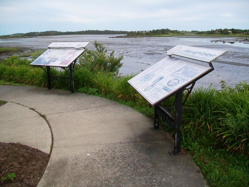
Other nearby markers. At least 8 other markers are within walking distance of this marker. Early Settlement (here, next to this marker); Milton Clock (a few steps from this marker); Shipbuilding (a few steps from this marker); The Fishery (within shouting distance of this marker); Rum Running (within shouting distance of this marker); Land Transportation (about 120 meters away, measured in a direct line); Manufacturing (about 120 meters away); Coronation Park (approx. half a kilometer away). Touch for a list and map of all markers in Yarmouth.
Also see . . .
1. A Brief Town of Yarmouth History. (Submitted on July 27, 2017, by William Fischer, Jr. of Scranton, Pennsylvania.)
2. Nova Scotia and Confederation. (Submitted on July 27, 2017, by William Fischer, Jr. of Scranton, Pennsylvania.)
Credits. This page was last revised on July 26, 2020. It was originally submitted on July 26, 2017, by William Fischer, Jr. of Scranton, Pennsylvania. This page has been viewed 172 times since then and 5 times this year. Photos: 1. submitted on July 27, 2017, by William Fischer, Jr. of Scranton, Pennsylvania. 2. submitted on July 26, 2017, by William Fischer, Jr. of Scranton, Pennsylvania. 3, 4. submitted on July 27, 2017, by William Fischer, Jr. of Scranton, Pennsylvania.


