Ralls in Crosby County, Texas — The American South (West South Central)
City of Ralls
Photographed by Bill Kirchner, June 9, 2017
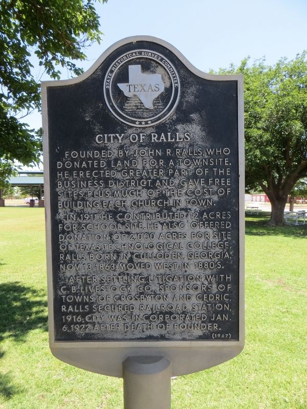
1. City of Ralls Marker
In 1911, he contributed 12 acres for school site. He also offered donation of 2,000 acres for site of Texas Technological College. Ralls, born in Culloden, Georgia, November 13, 1863; moved West in 1880's.
After settling litigation with C.B. Livestock Company, sponsors of towns of Crosbyton and Cedric, Ralls secured railroad station, 1916; city was incorporated January 6, 1922, after death of founder.
Erected 1967 by State Historical Survey Committee. (Marker Number 891.)
Topics. This historical marker is listed in this topic list: Settlements & Settlers. A significant historical date for this entry is January 6, 1922.
Location. 33° 40.75′ N, 101° 23.034′ W. Marker is in Ralls, Texas, in Crosby County. It is at the intersection of Main Avenue and Watts Avenue, on the right when traveling north on Main Avenue. Marker is in city park. Touch for map. Marker is in this post office area: Ralls TX 79357, United States of America. Touch for directions.

Regionally,
this page online
Other nearby markers. At least 8 other markers are within 9 miles of this marker, measured as the crow flies: Early Settlers of Ralls (here, next to this marker); John R. Ralls Building (within shouting distance of this marker); Ralls Cemetery (approx. 1.1 miles away); John Robinson Ralls (approx. 1.1 miles away); Emma (approx. 4.2 miles away); Emma Cemetery (approx. 5 miles away); Village of Cone (approx. 8 miles away); Farmer Community (approx. 8.4 miles away). Touch for a list and map of all markers in Ralls.
Photographed by Bill Kirchner, June 9, 2017
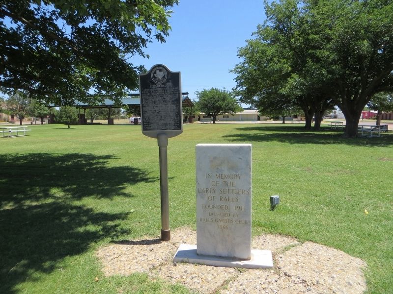
2. City of Ralls Marker on the left
Early Settlers of Ralls Marker is on the right.
Photographed by Bill Kirchner, June 9, 2017
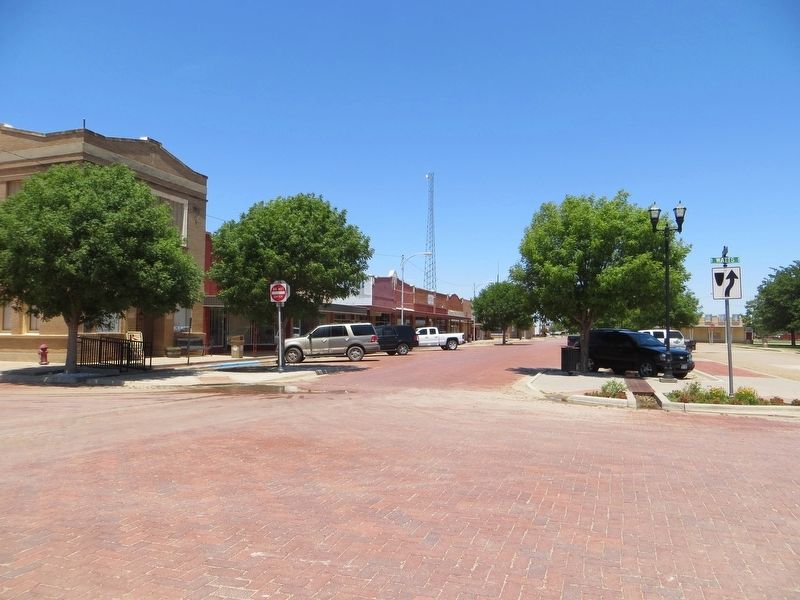
3. City of Ralls, Main Avenue
Credits. This page was last revised on July 27, 2017. It was originally submitted on July 27, 2017, by Bill Kirchner of Tucson, Arizona. This page has been viewed 447 times since then and 31 times this year. Photos: 1, 2, 3. submitted on July 27, 2017, by Bill Kirchner of Tucson, Arizona.
