Ralls in Crosby County, Texas — The American South (West South Central)
Early Settlers of Ralls
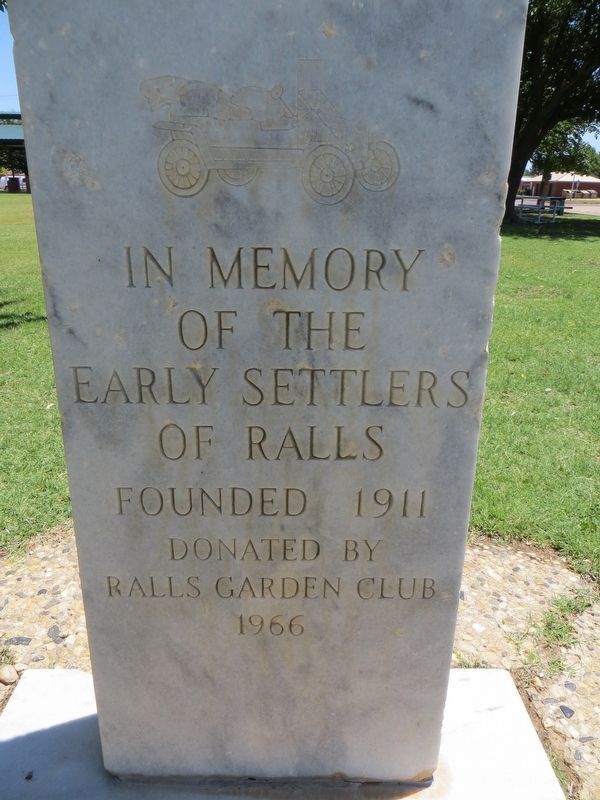
Photographed by Bill Kirchner, June 9, 2017
1. Early Settlers of Ralls Marker
Erected 1966 by Ralls Garden Club. (Marker Number 2625.)
Topics. This historical marker is listed in this topic list: Settlements & Settlers.
Location. 33° 40.749′ N, 101° 23.034′ W. Marker is in Ralls, Texas, in Crosby County. It is at the intersection of Main Avenue and Watts Avenue, on the right when traveling north on Main Avenue. Touch for map. Marker is in this post office area: Ralls TX 79357, United States of America. Touch for directions.

Regionally, this marker is on Texas’ South Plains. It is also on the American Great Plains and specifically on the Southern Plains. Globally, it is in North America, a Gulf of Mexico state, the Western Hemisphere, the Western World, and the Anglosphere. Historically, it finds itself in what was once New Spain, the Comanchería, the Republic of Texas, and one of the Confederate States of America.
Other nearby markers. At least 8 other markers are within 9 miles of this marker, measured as the crow flies: City of Ralls (here, next to this marker); John R. Ralls Building
this page online
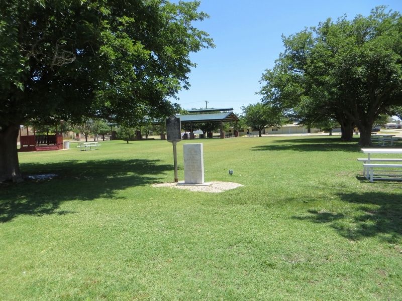
Photographed by Bill Kirchner, June 9, 2017
2. Early Settlers of Ralls Marker on the right
City of Ralls Marker is on the left.
Credits. This page was last revised on July 27, 2017. It was originally submitted on July 27, 2017, by Bill Kirchner of Tucson, Arizona. This page has been viewed 402 times since then and 19 times this year. Photos: 1, 2. submitted on July 27, 2017, by Bill Kirchner of Tucson, Arizona.
