Soda Springs in Caribou County, Idaho — The American West (Mountains)
The Springs of Soda Springs
Photographed by Barry Swackhamer, June 21, 2017
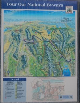
1. Tour Our National Byways, left panel
Click on the image to enlarge it.
(center panel:)
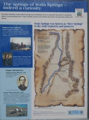
Explorer John C. Fremont,1842 In the early 1840s, John C. Fremont traveled to the West on exploratory trips for the U.S. government. Traveling with Fremont's party was Charles Preuss who mapped in detail (right) the fascinating mineral springs observed
this page online
Emigrant Sarah White Smith, 1838 "Traveled ... along the bank of the bear river & are encamped at Soda Springs. This is indeed a curiosity. The water tastes like soda water, especially artificially prepared. The water is bubbling and foaming like boiling water. I drank of it ... We find it excellent for baking bread, no preparation of water is necessary. Take it from the fountain & the bread is as light as any prepared with yeast.
(right panel:)
Photographed by Barry Swackhamer, June 21, 2017
2. The Springs of Soda Springs, center panel
Captions: (left side, top to bottom) The Trappers, William T. Ranney, 1856; John C. Fremont; Narcissi Whitman, 1805-1847; Wagon Train, courtesy of Idaho Public Television, 2008: (map legend) Fountain Hill - You are here. On the mound near you is the Soda Springs geyser "released" in 1937; Beer Spring - The bubbling springs were considered a must-see curiosity by early travelers.; Steamboat Spring - About 1/4 mile down stream from Beer Spring is Steamboat Spring which early travelers reported sounded similar to a steamboat engine. The spring is now covered by Alexander Reservoir.; Emigrant Road - This well-used route is the old Oregon-California Trail and present-day US-30.
Topics. This historical marker is listed in these topic lists: Exploration • Settlements & Settlers. A significant historical date for this entry is November 30, 1937.
Location. 42° 39.42′ N, 111° 36.297′ W. Marker is in Soda Springs, Idaho, in Caribou County. It can be reached from East 1st Street South near South Main Street. Touch for map. Marker is in this post office area: Soda Springs ID 83276, United States of America. Touch for directions.

Regionally, this marker is in Bear
Photographed by Barry Swackhamer, June 21, 2017
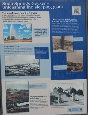
3. Soda Springs Geyser, right panel
Captions: (upper left) Everyone is invited to enjoy the 72-degree geyser water, which erupts every hour on the hour.; (upper right) Drilling for hot water, 1937; (center right) Soda Springs Geyser in 1937 before it was capped.; (center left) Explorers John C. Fremont during his travels to the West in 1843 observed a crusty white geological formation, naming it "Fountain Hill.: This is the location of the Soda Sprigs Geyser. Soda Springs and the geyser mound, 1882.; (bottom left) Soda Springs Creek in the foreground with the imposing Idanha Hotel in the background, about 1900,; (bottom right) Mineral Heights Resort.
Other nearby markers. At least 8 other markers are within walking distance of this marker: "It Roars Like a Mad Dragon" (within shouting distance of this marker); George W. and Leah Wallet Gorton (within shouting distance of this marker); Ground Observer Corps National Planning (within shouting distance of this marker); Ground Observation Corps Soda Springs Post (within shouting distance of this marker); Travertine Terraces - World Famous Water (within shouting distance of this marker); Ground Observer Corps National Campaign (within shouting distance of this marker); Caribou Mountain (within shouting distance of this marker); Niels Anderson ---- Mary Christoffersen Anderson (about 400 feet away, measured in a direct line). Touch for a list and map of all markers in Soda Springs.
More about this marker. The geyser and marker are in Geyser Park.
Photographed by Barry Swackhamer, June 21, 2017
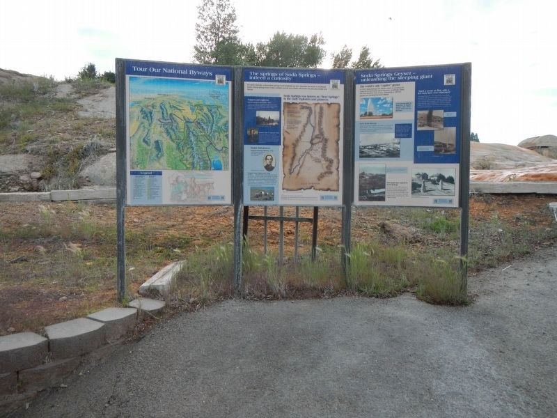
4. The Springs of Soda Springs Marker
The geyser is to the right.
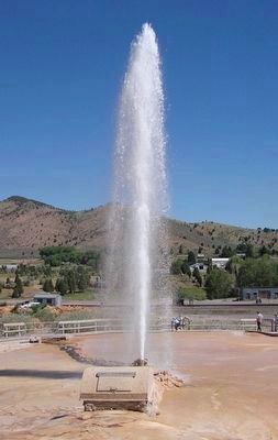
Photographed by Barry Swackhamer, June 21, 2017
5. Soda Springs Geyser, every hour, on the hour
Credits. This page was last revised on July 27, 2017. It was originally submitted on July 27, 2017, by Barry Swackhamer of Brentwood, California. This page has been viewed 1,384 times since then and 88 times this year. Photos: 1, 2, 3, 4, 5. submitted on July 27, 2017, by Barry Swackhamer of Brentwood, California.
