United States Courthouse
Natchez, Mississippi
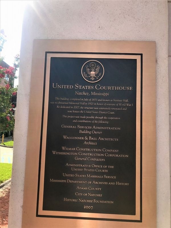
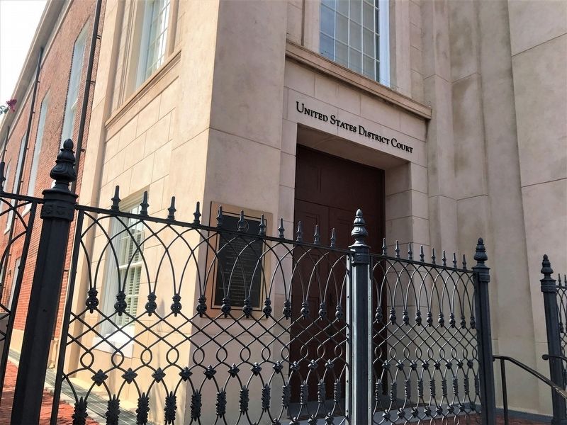
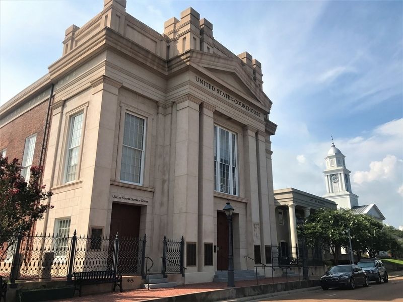
This building, completed in July of 1853 and known as Institute Hall, was re-christened Memorial Hall in 1921 in honor of veterans of World War I. Re-dedicated in 2007, the structure was extensively renovated and now houses the United States District Court.
This project was made possible through the cooperation and contributions of the following:
General Services Administration
Building Owner
Waggonner & Ball Architects
Architect
Wilmer Construction Company
Witherington Construction Corporation
General Contractors
Administrative Office of the United States Court
United States Marshals Service
Mississippi Department of Archives and History
Adams County
City of Natchez
Historic Natchez Foundation.
Erected 2007.
Topics. This historical marker is listed in these topic lists: Architecture • War, World I.
Location. 31° 33.584′ N, 91° 24.213′ W. Marker is in Natchez, Mississippi, in Adams County. It is on South Pearl Street north of Main Street, on the right when traveling north. Touch for map. Marker is at or near this postal address: 109 South Pearl Street, Natchez MS 39120,
this page online

Regionally, this marker is in Southwest Mississippi and in Natchez Trace Corridor. It is also in the American South, specifically in the Deep South, and in the Great River Road Region. Globally, it is in North America, a Gulf of Mexico state, the Western Hemisphere, the Western World, and the Anglosphere. Historically, it finds itself in what was once New Spain, the Viceroyalty of New France, the territory of the Mississippian Culture, one of the Confederate States of America, and the Antebellum South.
Other nearby markers. At least 8 other markers are within walking distance of this marker: In Gratitude (here, next to this marker); Intersection of Main and North Pearl streets (within shouting distance of this marker); Bud Scott (within shouting distance of this marker); Site of Bank of Mississippi (within shouting distance of this marker); The First Presbyterian Church (within shouting distance of this marker); Intersection of State and South Pearl streets (about 300 feet away, measured in a direct line); Intersection of Main and South Commerce streets (about 400 feet
Credits. This page was last revised on February 2, 2020. It was originally submitted on July 28, 2017, by Cajun Scrambler of Assumption, Louisiana. This page has been viewed 447 times since then and 32 times this year. Photos: 1, 2, 3. submitted on July 28, 2017.
