Lorenzo in Crosby County, Texas — The American South (West South Central)
Lorenzo
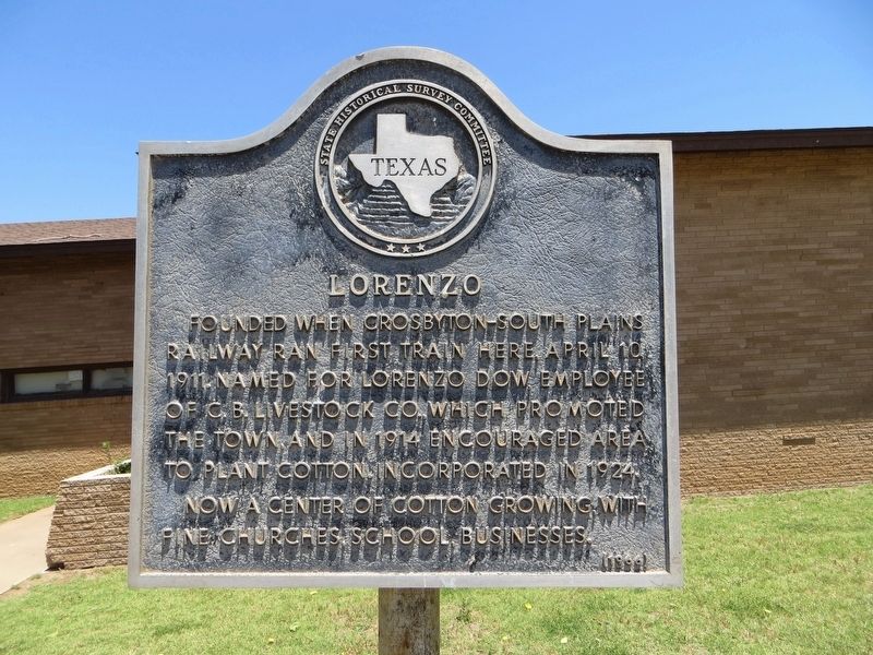
Photographed by Bill Kirchner, June 9, 2017
1. Lorenzo Marker
Now a center of cotton growing, with fine churches, school, businesses.
Erected 1966 by State Historical Survey Committee. (Marker Number 3123.)
Topics. This historical marker is listed in this topic list: Settlements & Settlers. A significant historical date for this entry is April 10, 1911.
Location. 33° 40.185′ N, 101° 32.191′ W. Marker is in Lorenzo, Texas, in Crosby County. It is on Van Buren Avenue north of 5th Street, on the right when traveling north. Touch for map. Marker is in this post office area: Lorenzo TX 79343, United States of America. Touch for directions.

Regionally, this marker is on the South Plains. It is also on the American Great Plains and specifically on the Southern Plains. Globally, it is in North America, a Gulf of Mexico state, the Western Hemisphere, the Western World, and the Anglosphere. Historically, it finds itself in what was once New Spain, the
this page online
Other nearby markers. At least 8 other markers are within 9 miles of this marker, measured as the crow flies: Lorenzo Cemetery (approx. 1.8 miles away); Estacado Cemetery (approx. 5 miles away); Site of Estacado (approx. 5.9 miles away); Idalou Cemetery (approx. 6 miles away); John Robinson Ralls (approx. 7.8 miles away); Ralls Cemetery (approx. 7.8 miles away); Harmon Farms (approx. 7.9 miles away); Emma Cemetery (approx. 8.2 miles away). Touch for a list and map of all markers in Lorenzo.
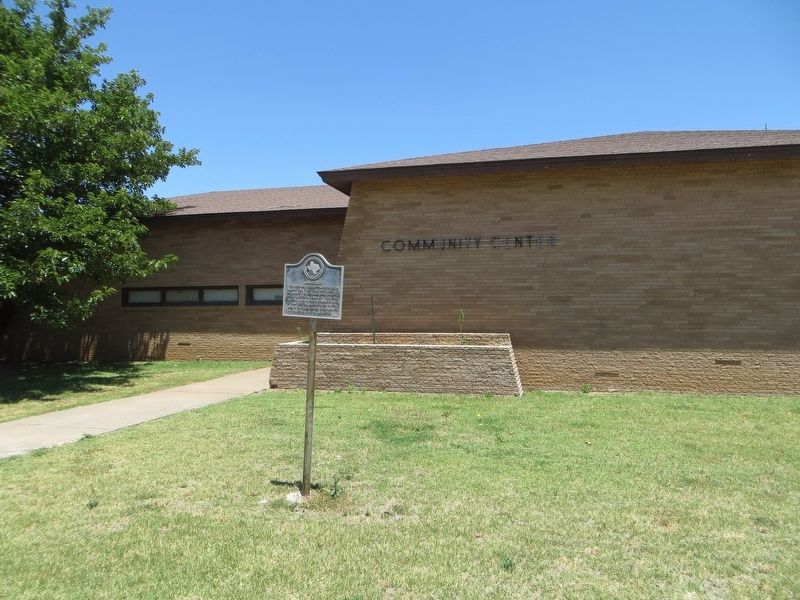
Photographed by Bill Kirchner, June 9, 2017
2. Lorenzo Marker
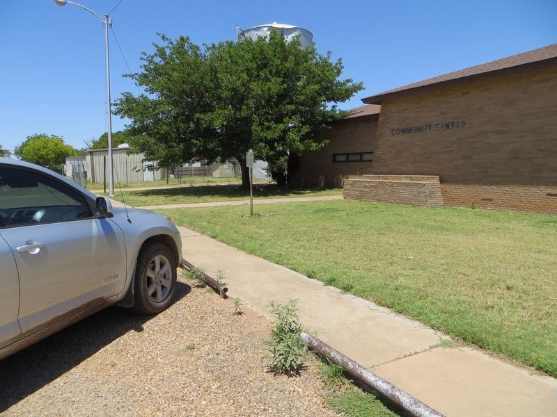
Photographed by Bill Kirchner, June 9, 2017
3. Lorenzo Marker
Credits. This page was last revised on July 28, 2017. It was originally submitted on July 28, 2017, by Bill Kirchner of Tucson, Arizona. This page has been viewed 735 times since then and 39 times this year. Photos: 1, 2, 3. submitted on July 28, 2017, by Bill Kirchner of Tucson, Arizona.
