Abbeville in Vermilion Parish, Louisiana — The American South (West South Central)
Bancker Plantations
Photographed by Cajun Scrambler, July 1, 2017
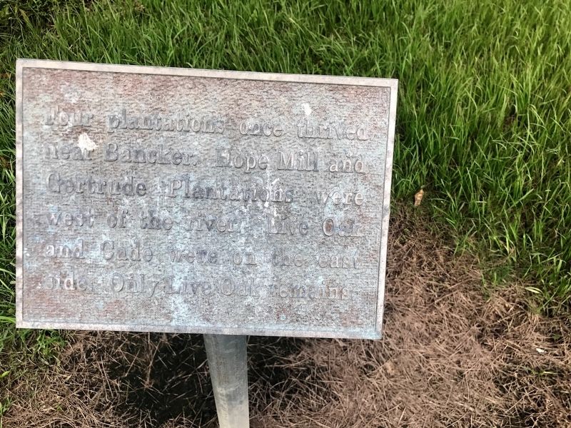
1. Bancker Plantations Marker
Four plantations once thrived near Bancker. Hope Mill and Gertrude were west of the river. Live Oak and Cade were on the east side. Only Live Oak remains.
Topics. This historical marker is listed in this topic list: Settlements & Settlers.
Location. 29° 53.114′ N, 92° 7.528′ W. Marker is in Abbeville, Louisiana, in Vermilion Parish. It can be reached from the intersection of Live Oak Road and State Road 690. Touch for map. Marker is in this post office area: Abbeville LA 70510, United States of America. Touch for directions.

Regionally, this marker is in Louisiana’s Acadiana — Cajun Country and specifically in Bayou Country. It is also in the American South, specifically in the Deep South, and on the Gulf Coast. Globally, it is in North America, a Gulf of Mexico state, the Western Hemisphere, the Western World, and the Anglosphere. Historically, it finds itself in what was once New Spain, Acadia, the territory of the Mississippian Culture, the Louisiana Purchase, one of the Confederate States of America, and the Antebellum South.
Other nearby markers. At
this page online
More about this marker. Located on the Bancker site.
Photographed by Cajun Scrambler, July 1, 2017
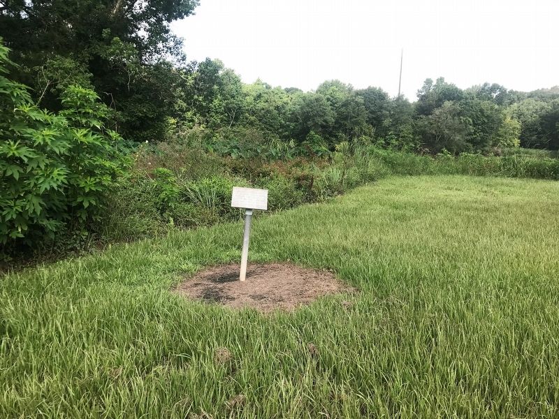
2. Bancker Plantations Marker
Photographed by Cajun Scrambler, July 1, 2017
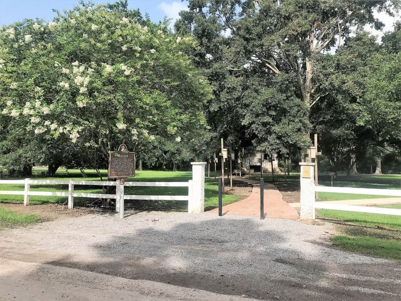
3. Bancker site entrance
Credits. This page was last revised on September 5, 2023. It was originally submitted on July 29, 2017, by Cajun Scrambler of Assumption, Louisiana. This page has been viewed 1,392 times since then and 93 times this year. Photos: 1, 2, 3. submitted on July 29, 2017.
