Carthay Circle in Los Angeles in Los Angeles County, California — The American West (Pacific Coastal)
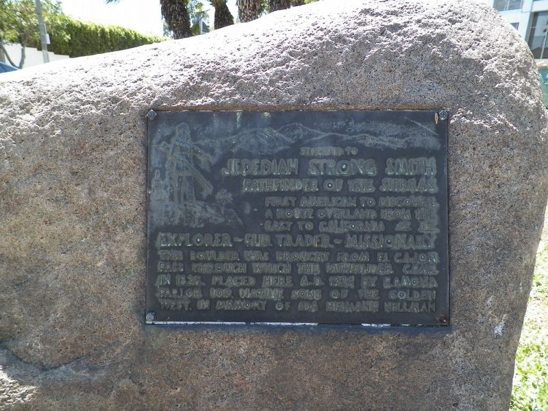
Jedediah Strong Smith
Pathfinder of the Sierras
Explorer - Fur Trader - Missionary.
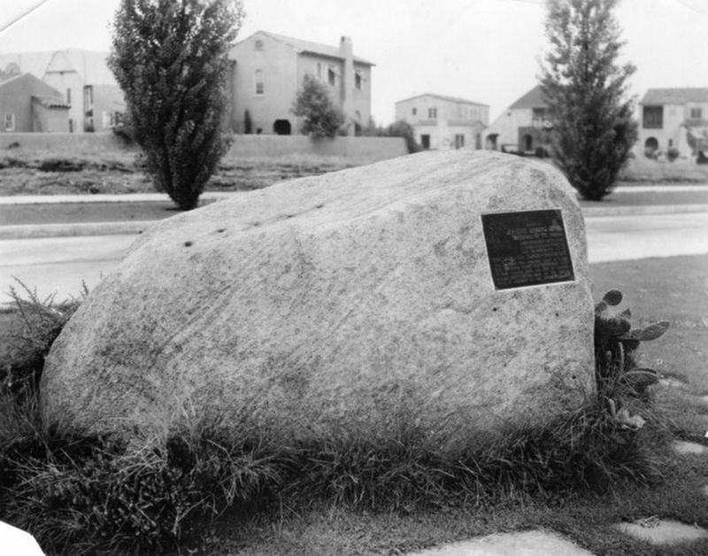
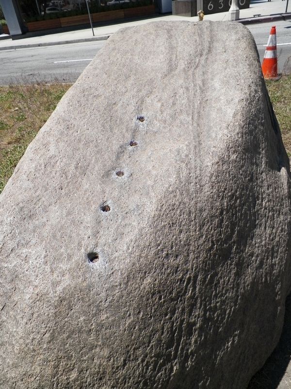
This boulder was brought from El Cajon Pass through which the pathfinder came in 1826. Placed here A.D. 1924 by Ramona Parlor 109, Native Sons of the Golden West. In memory of Ida Heimann Hellman.
Erected 1924 by Native Sons of the Golden West, Ramona Parlor #109.
Topics and series. This historical marker is listed in these topic lists: Exploration • Patriots & Patriotism. In addition, it is included in the Native Sons/Daughters of the Golden West series list. A significant historical year for this entry is 1826.
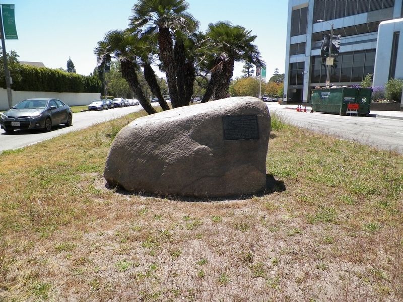
Location. 34° 3.791′ N, 118° 21.936′ W. Marker is in Los Angeles, California, in Los Angeles County. It is in Carthay Circle. Marker is at the intersection of McCarthy Vista and Wilshire Boulevard, in the median on McCarthy Vista. Touch for map. Marker is in this post office area: Los Angeles CA 90048, United States of America. Touch for directions.
Other nearby markers. At least 8 other markers are within walking distance of this marker. Carthay Circle (here, next to this marker); Daniel O. McCarthy (approx. 0.2 miles away); Juan Bautista de Anza (approx. 0.2 miles away); "Snowshoe" Thompson (approx. ¼ mile away); Berlin Wall Segments (approx. 0.4 miles away); Chester Stock, Ph.D. / Observation Pit (approx. half a mile away); Hancock Park (approx. 0.6 miles away); Portolá Trail 1769 (approx. 0.6 miles away). Touch for a list and map of all markers in Los Angeles.
Credits. This page was last revised on January 30, 2023. It was originally submitted on July 30, 2017, by James King of San Miguel, California. This page has been viewed 526 times since then and 43 times this year. Photos: 1, 2, 3, 4. submitted on July 30, 2017, by James King of San Miguel, California. • Syd Whittle was the editor who published this page.


